Here we are in Kansas.
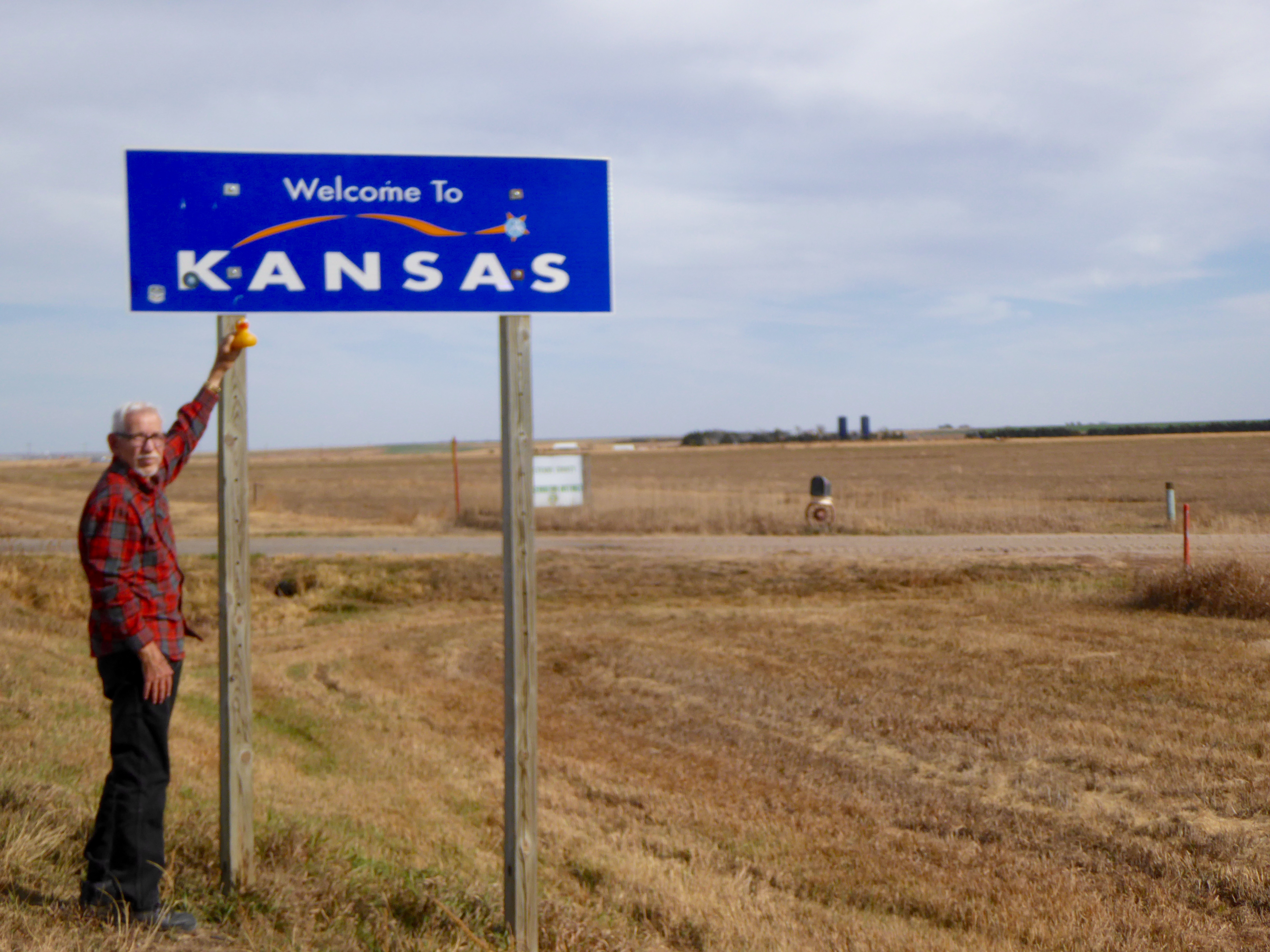
Entering Kansas
This is the farmland we expect to see in Kansas, but today we are looking for something else. We are looking for the Arikaree Breaks. Driving on US Highway 36 into St. Francis, Kansas, we head north at the courthouse. The humans are following the self driving tour of the area. First stop is the G.A.R. Cemetery.
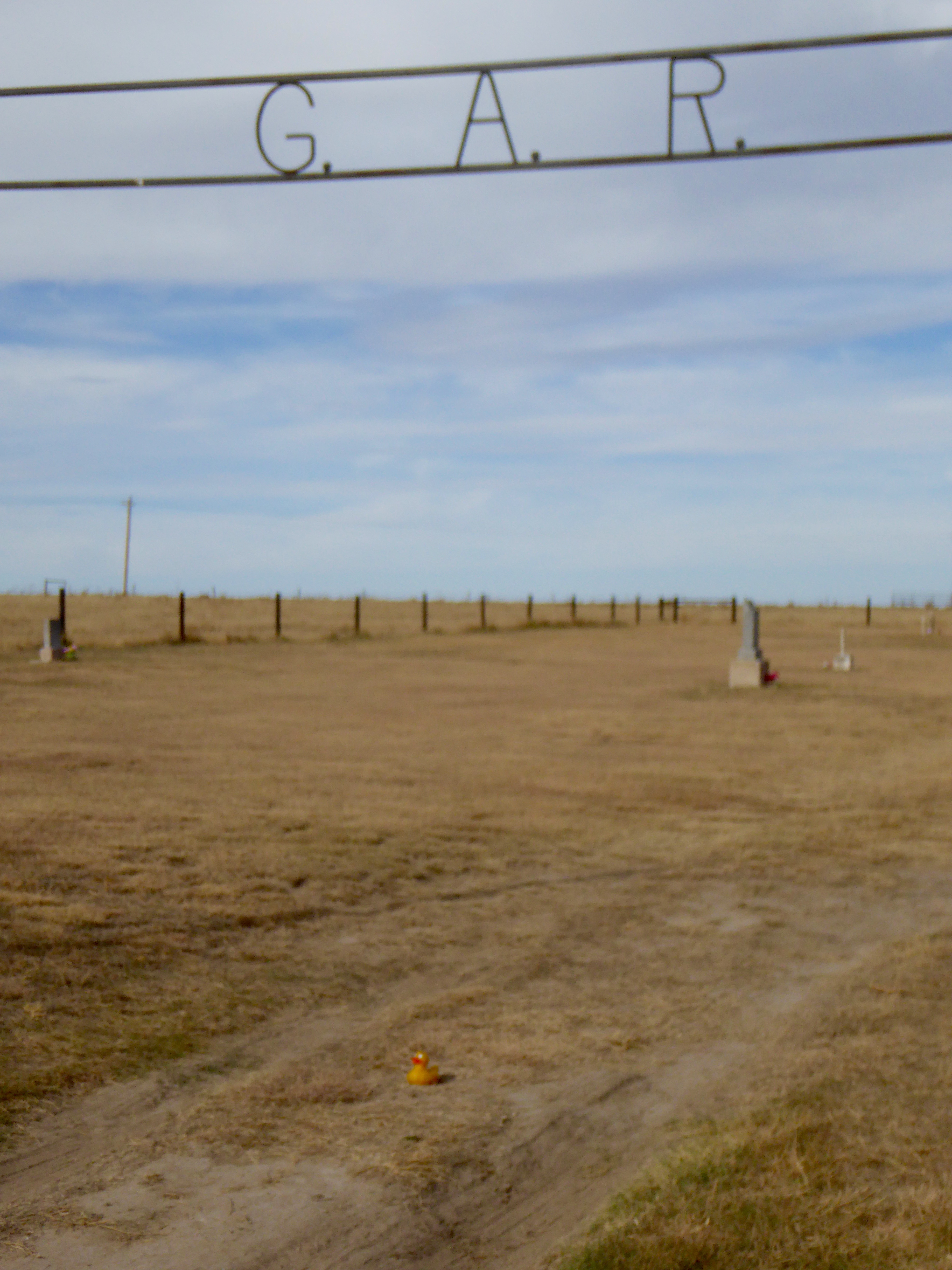
G A R Cemetery
The east half was to be for Grand Army of the Republic veterans and their families. These are veterans of the United States Civil War.
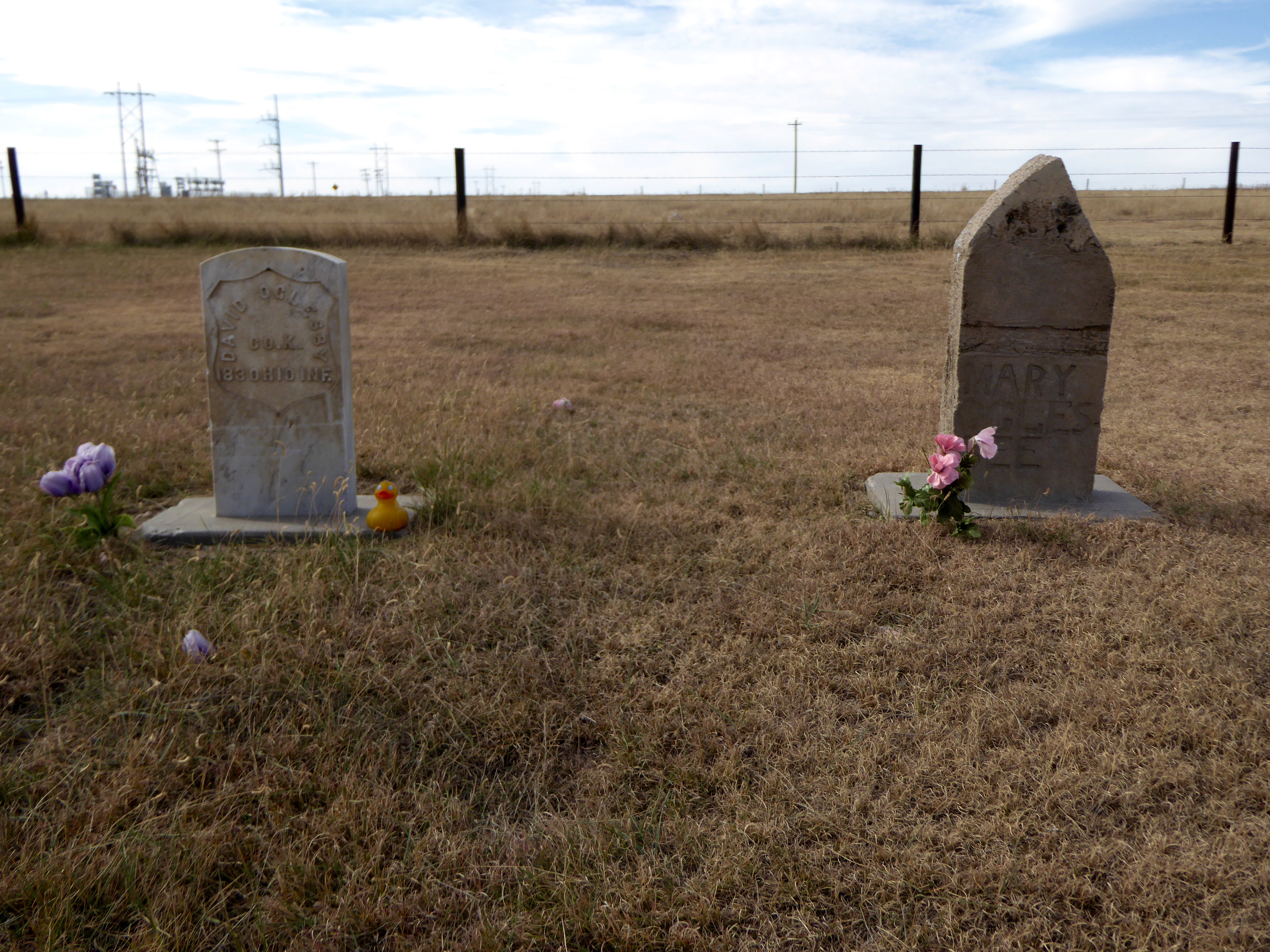
Civil War Veteran and his wife
The west half was for citizens and their families. No lots were to be sold; only a donation for the deed was taken. The intention was to provide an honorable burial to destitute veterans of the Civil War. This cemetery was established in 1889. Our map led us over 4 creeks, most of which were dry. Next stop was Horse Thief Cave.
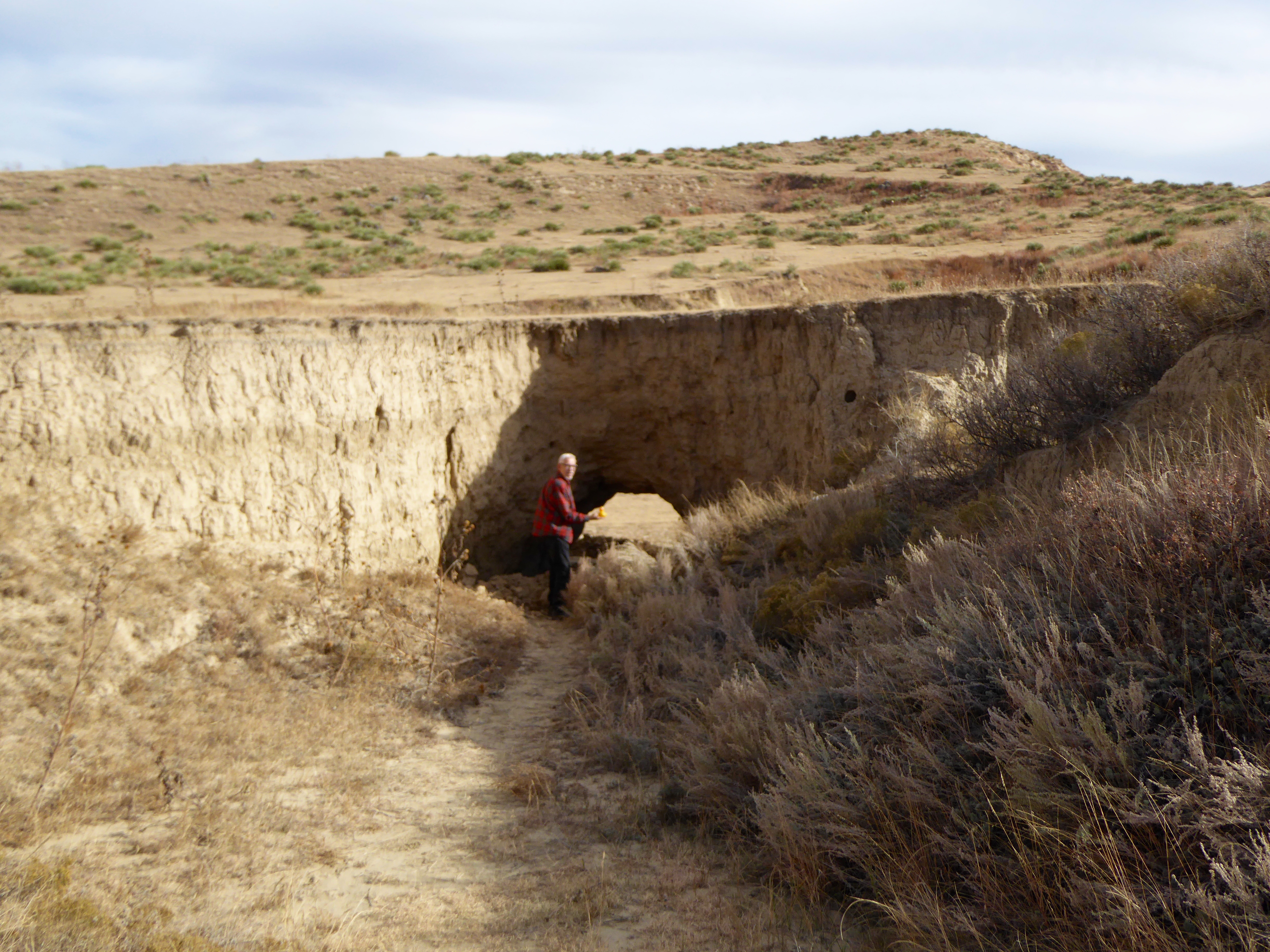
Entrance to Horse Thief Cave
Along the side of the road, near the entrance to Horse Thief Cave was this mailbox.
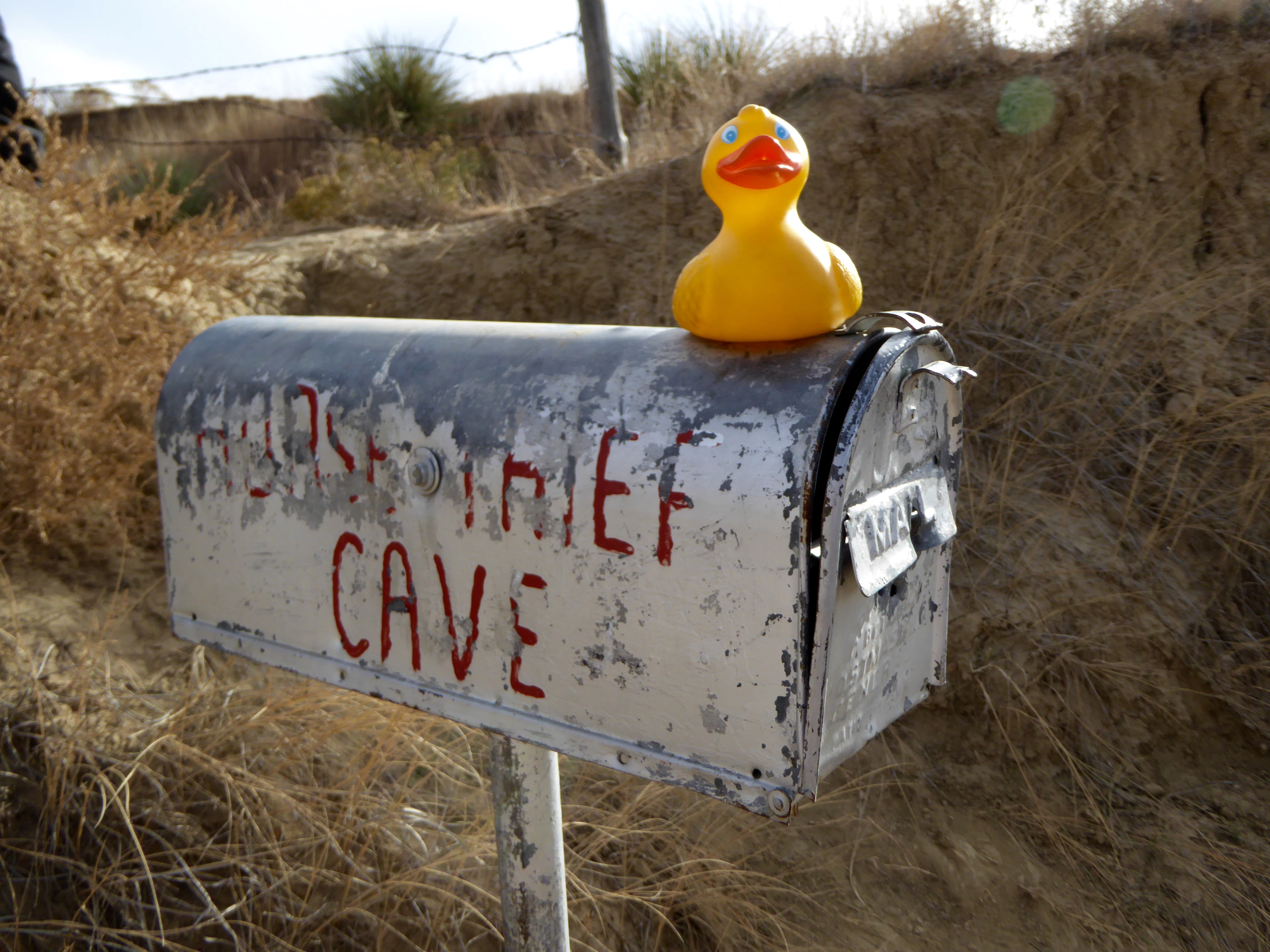
A mailbox for Horse Thief Cave?
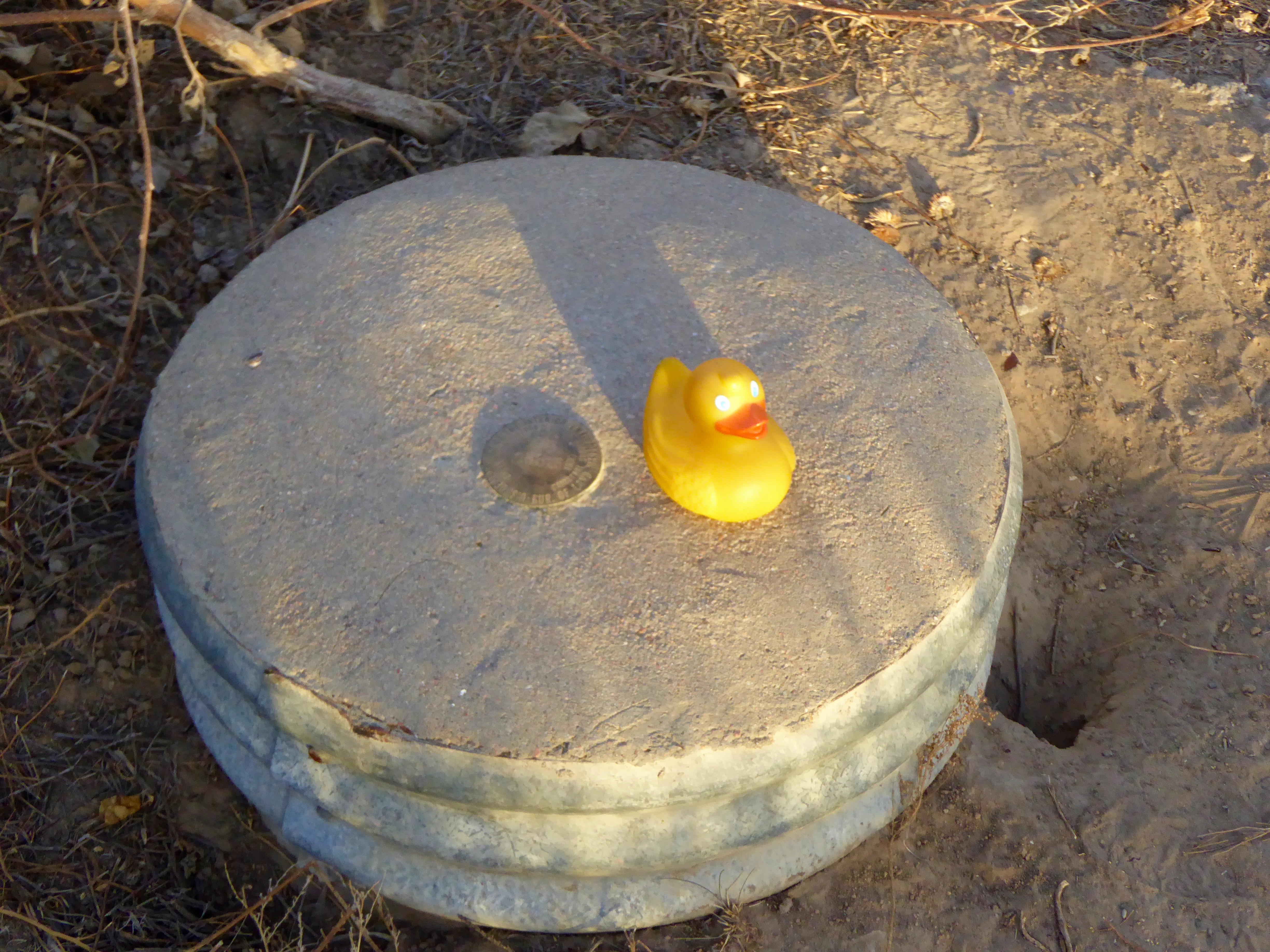
Why a mailbox? Who receives mail here? I, Zeb the Duck, have no idea. This is the back of the cave.
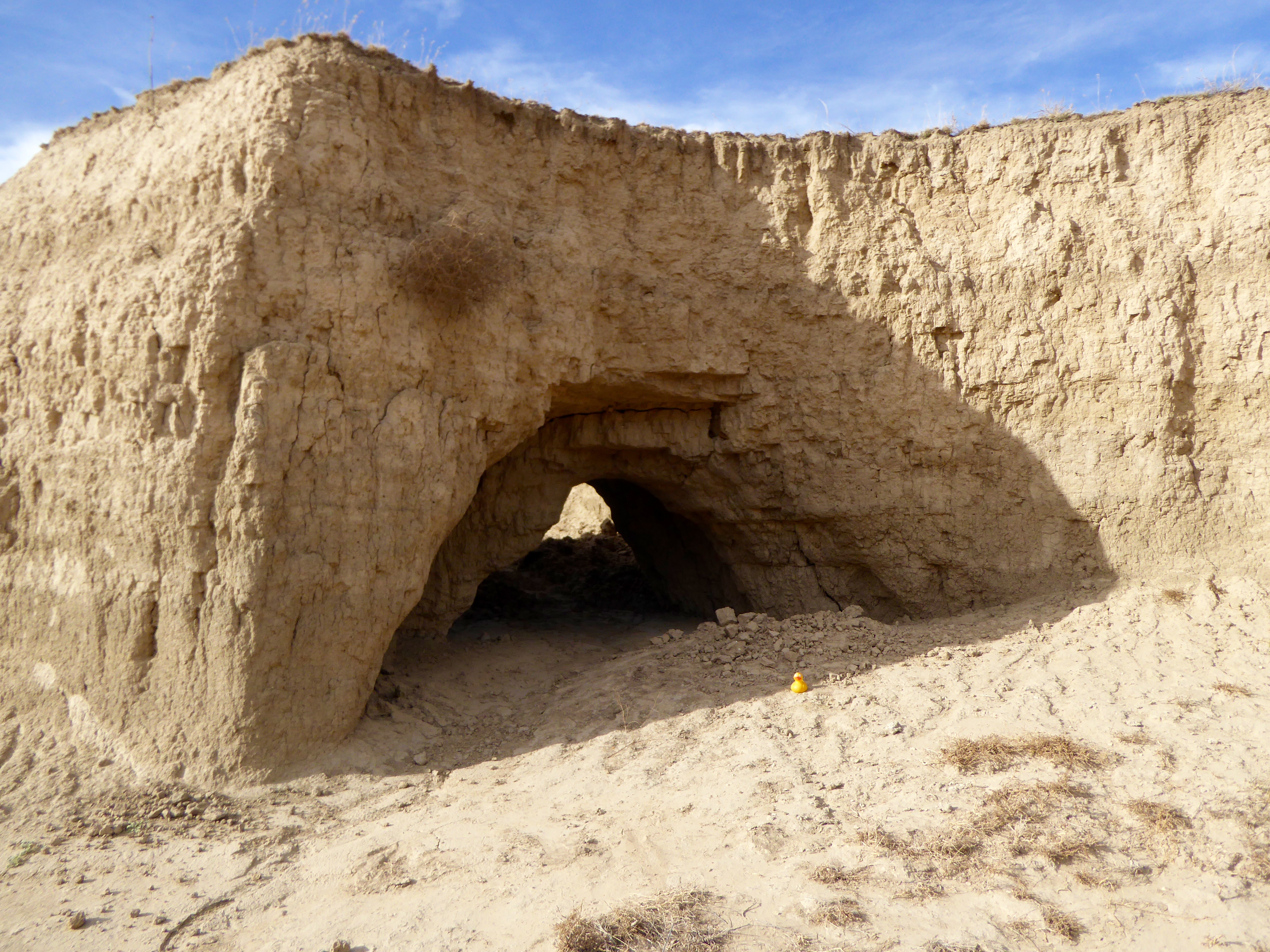
Where is the rest of the cave?
Wait a minute. What happened here? Our map tells us most of the cave has caved in, leaving only the entrance. When the cave was last used in 1878, there were 2 rooms back here. The outlaws used the front room as their living quarters. There was a large back chamber where the stolen horses were kept. Looking behind the cave, this is certainly not the flat Kansas farmland we expected.
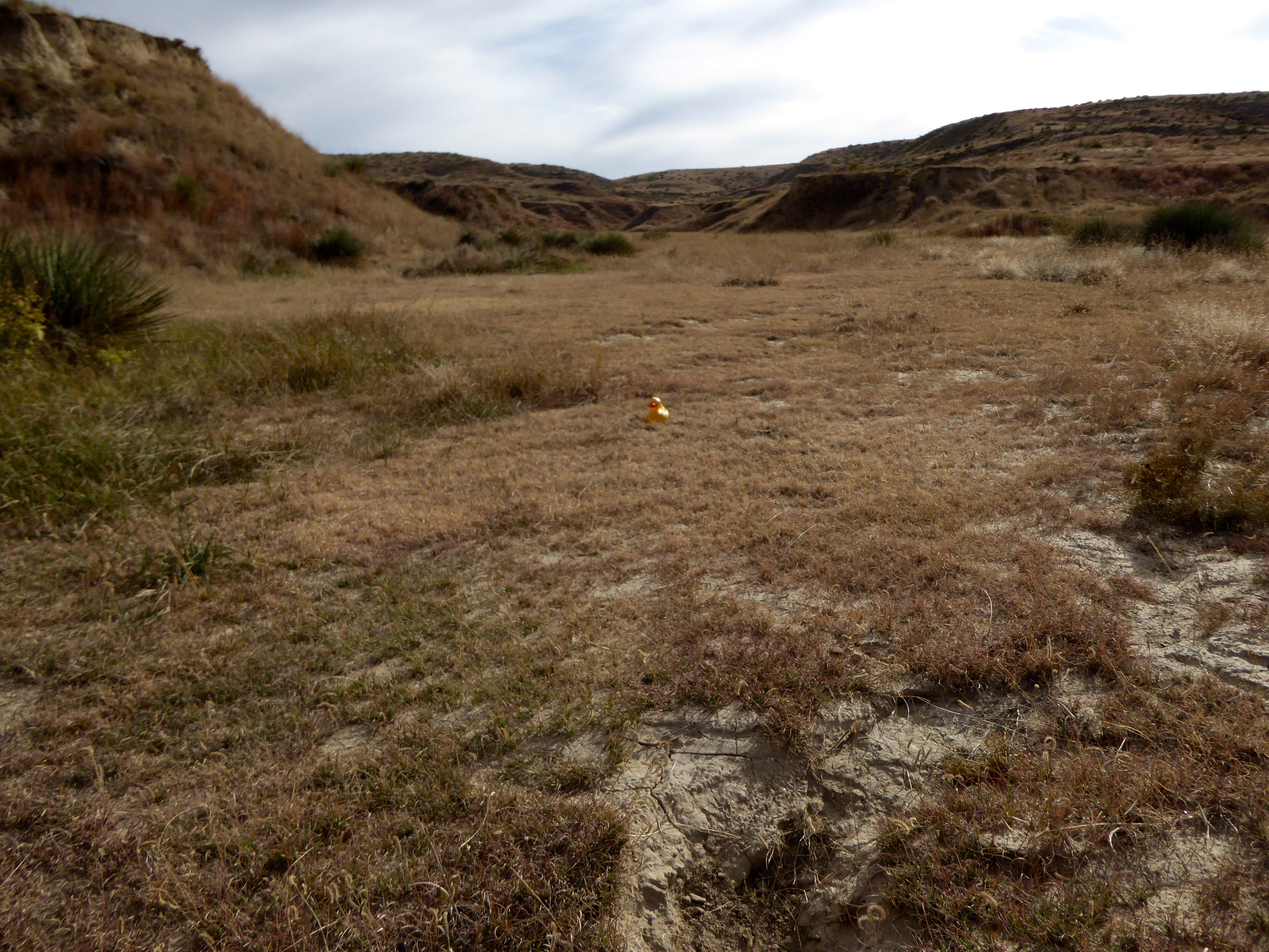
Not flat Kansas landscape here
Driving further, we find the Lookout Point.
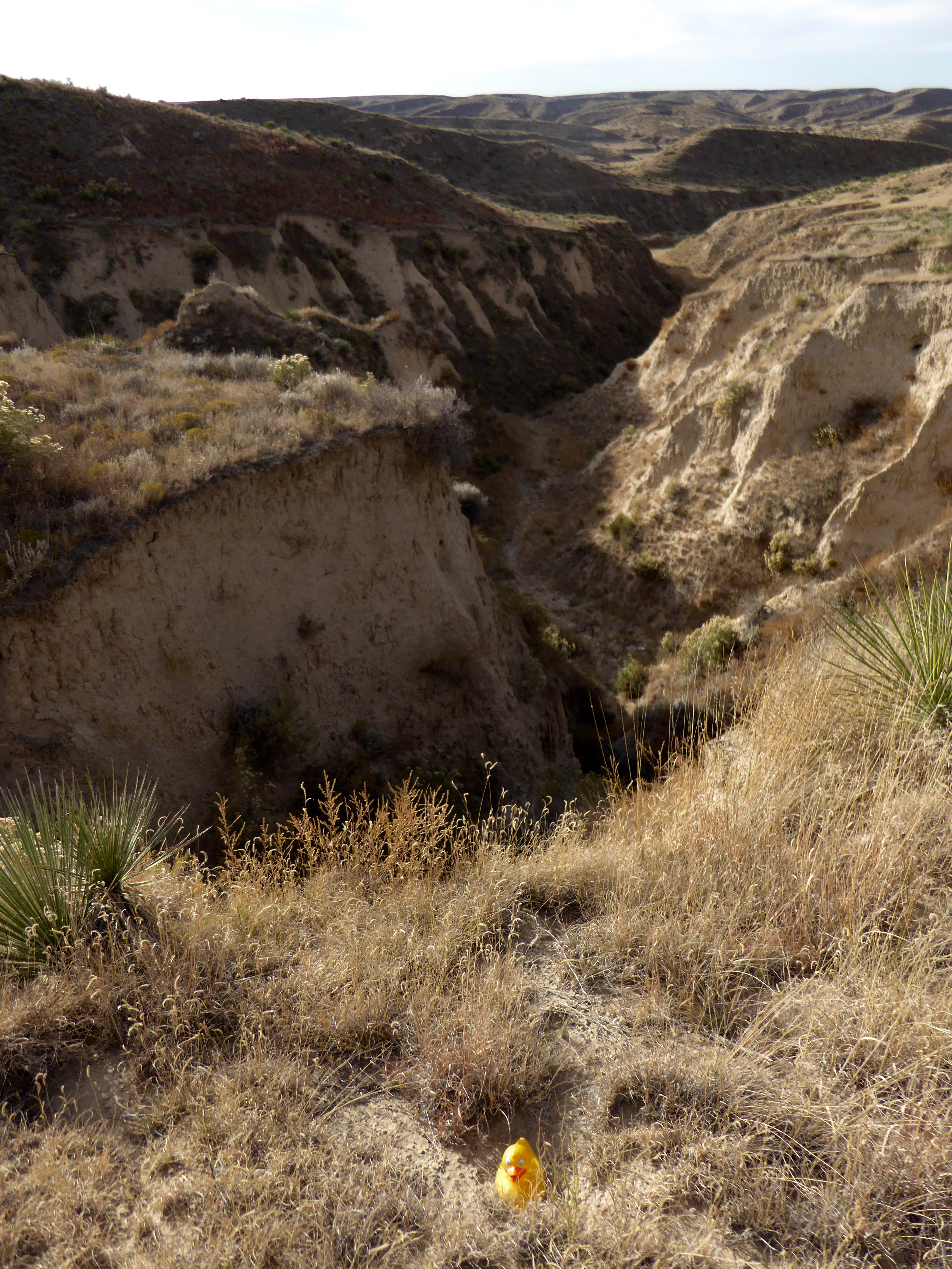
Arikaree Break
This is a canyon. It is beautiful in its own way. These Arikaree Breaks are 36 miles long and two to three miles wide. They are really great to see. Further along, we are reminded that this really is farm country. The cows are grazing in the breaks.
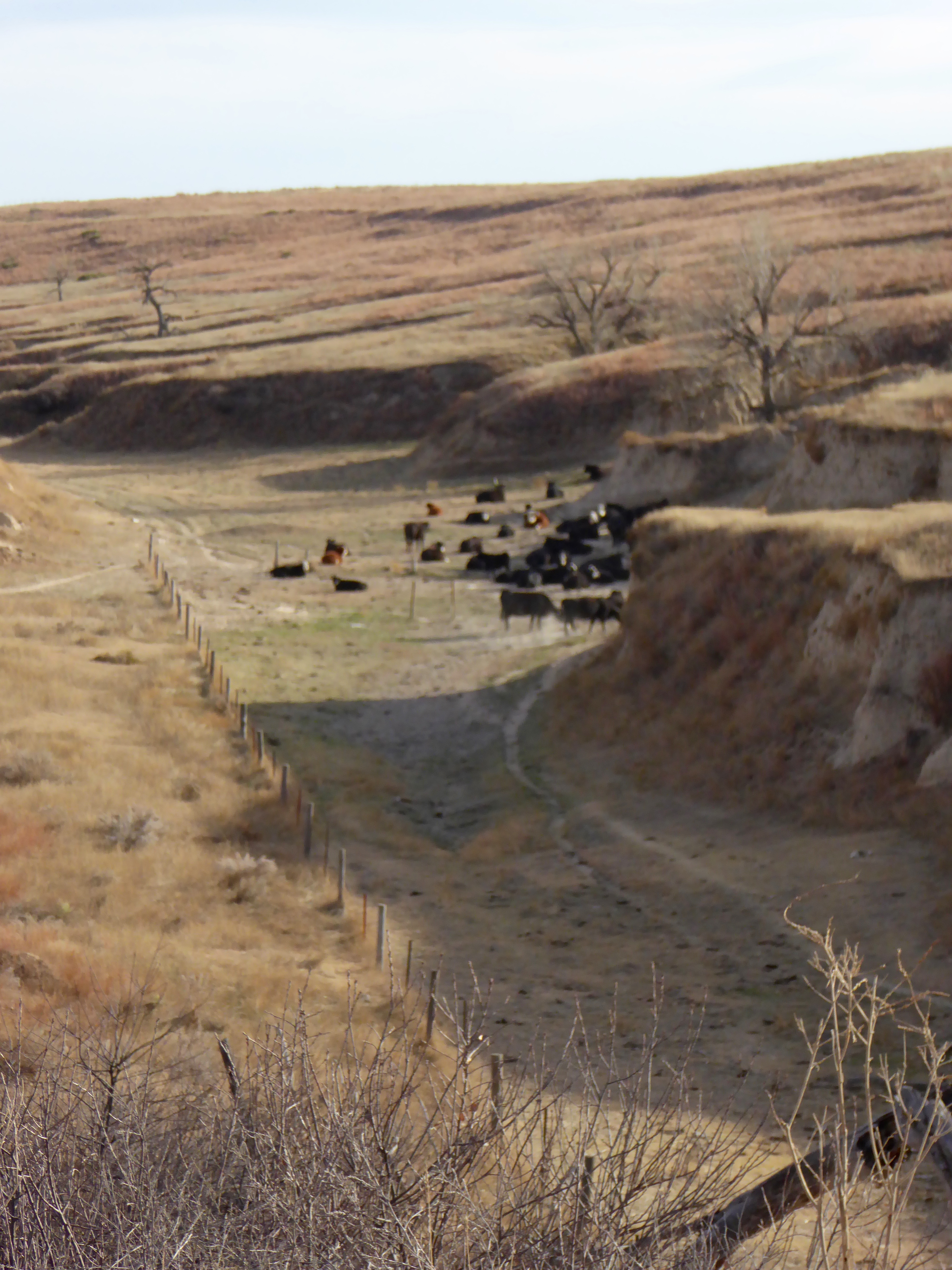
Cows in the breaks
They get in and out of the breaks on their own. Information from the nearby city of St. Francis tells us about this area. The Arikaree Breaks were formed by wind deposited sand, silt, and clay particles, called loess. After deposition, the loess has undergone spectacular processes of head cutting, and sidewall cutting the advancing tributaries of the Arikaree River and the South Fork of the Republican River. This all happened during the Holocene Age, a little less than 9,000 years ago. The humans tell me we will drive through a private farm, with permission from the farmer, to see 3 corners. I really don’t know what that means. But, along the way, I see two new friends watching me.
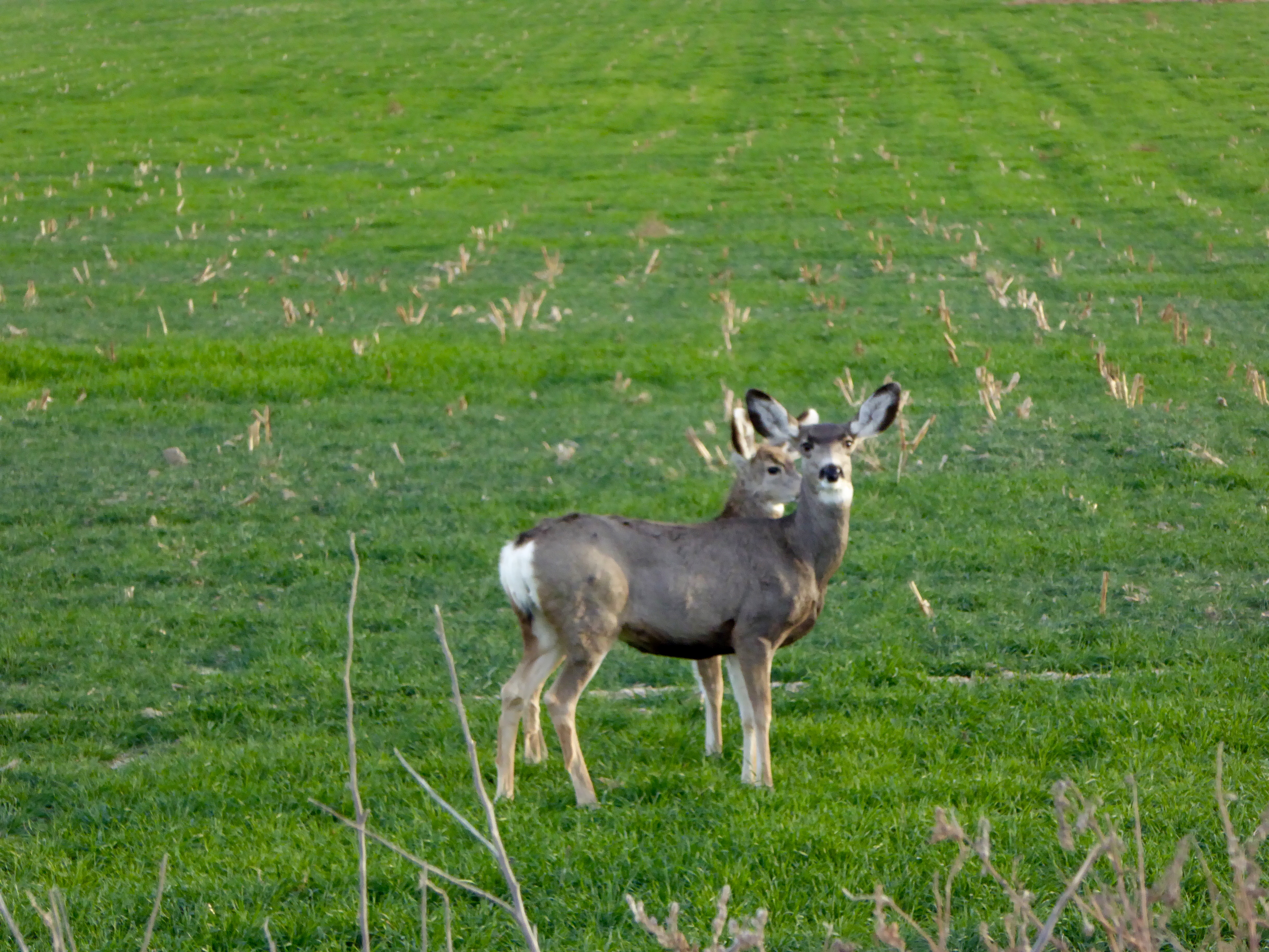
We are being watched
I love to see deer. We also saw a large flock of wild turkeys. They humans tell me 3 corners is where 3 of our states all meet. This is the sign explaining everything.
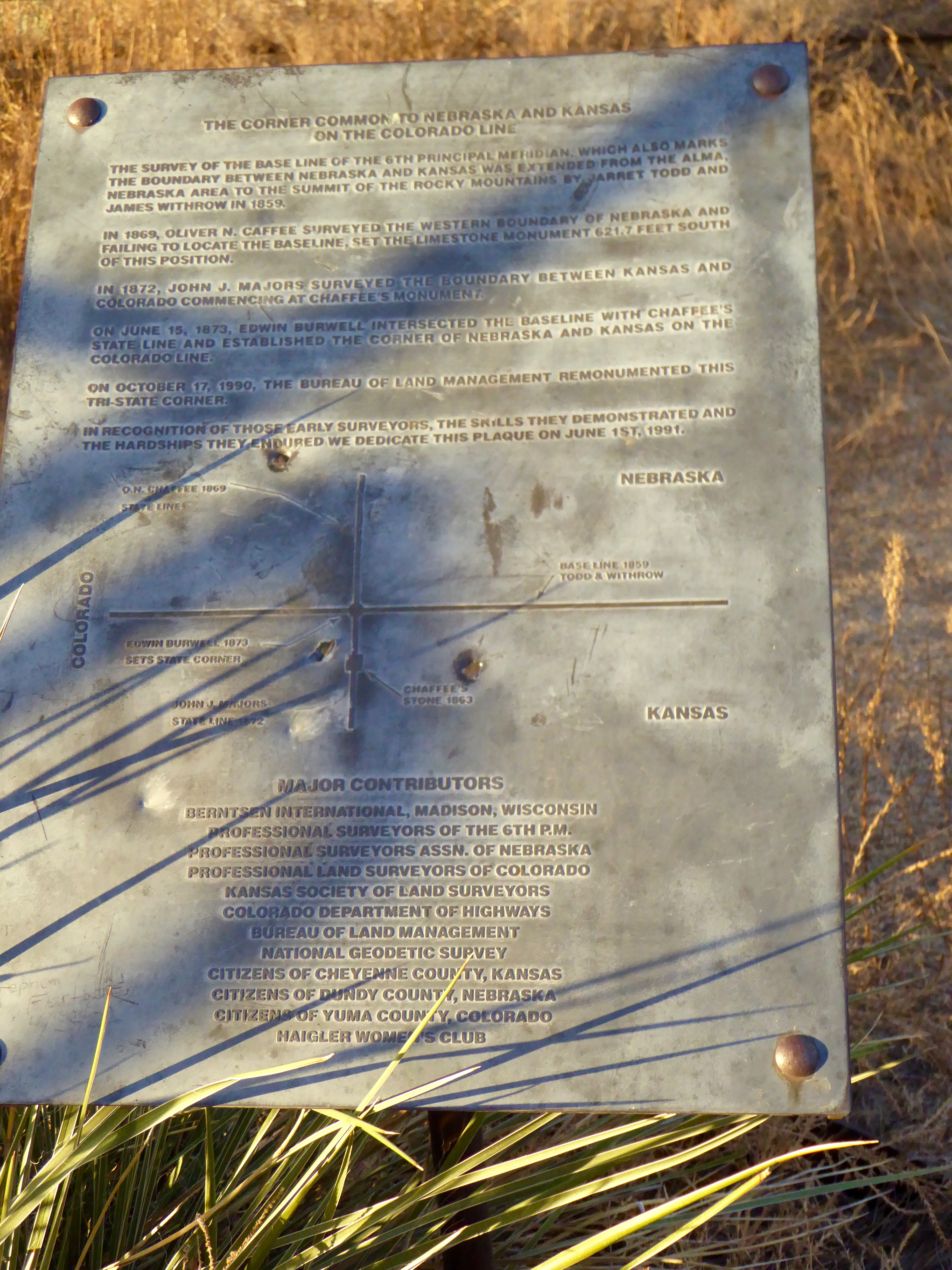
3 Corners. Meeting of Kansas, Nebraska, and Colorado.
We are in Kansas, Nebraska is directly north and Colorado is on the east. Here I am where these three states meet.
Marking the exact meeting of three states
This is a great marker and I, Zeb the Duck, am glad to be here. I wanted to sit on the fence post to gaze over these three states.
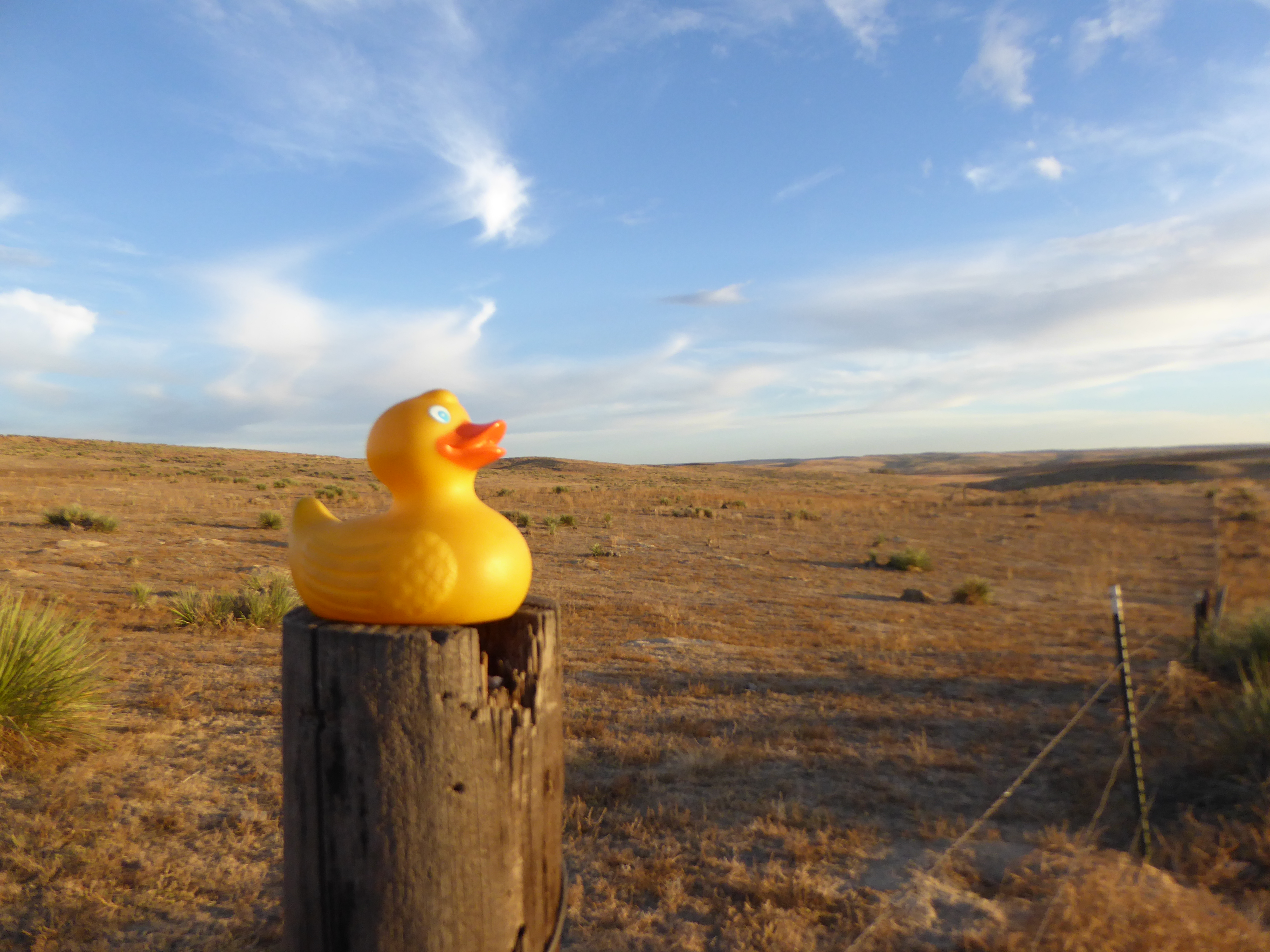
Observing 3 states. Getting flatter in all directions.
You can see that the land is getting flatter, the typical land of Western Kansas, Western Nebraska and Eastern Colorado. We are heading back to Colorado now.
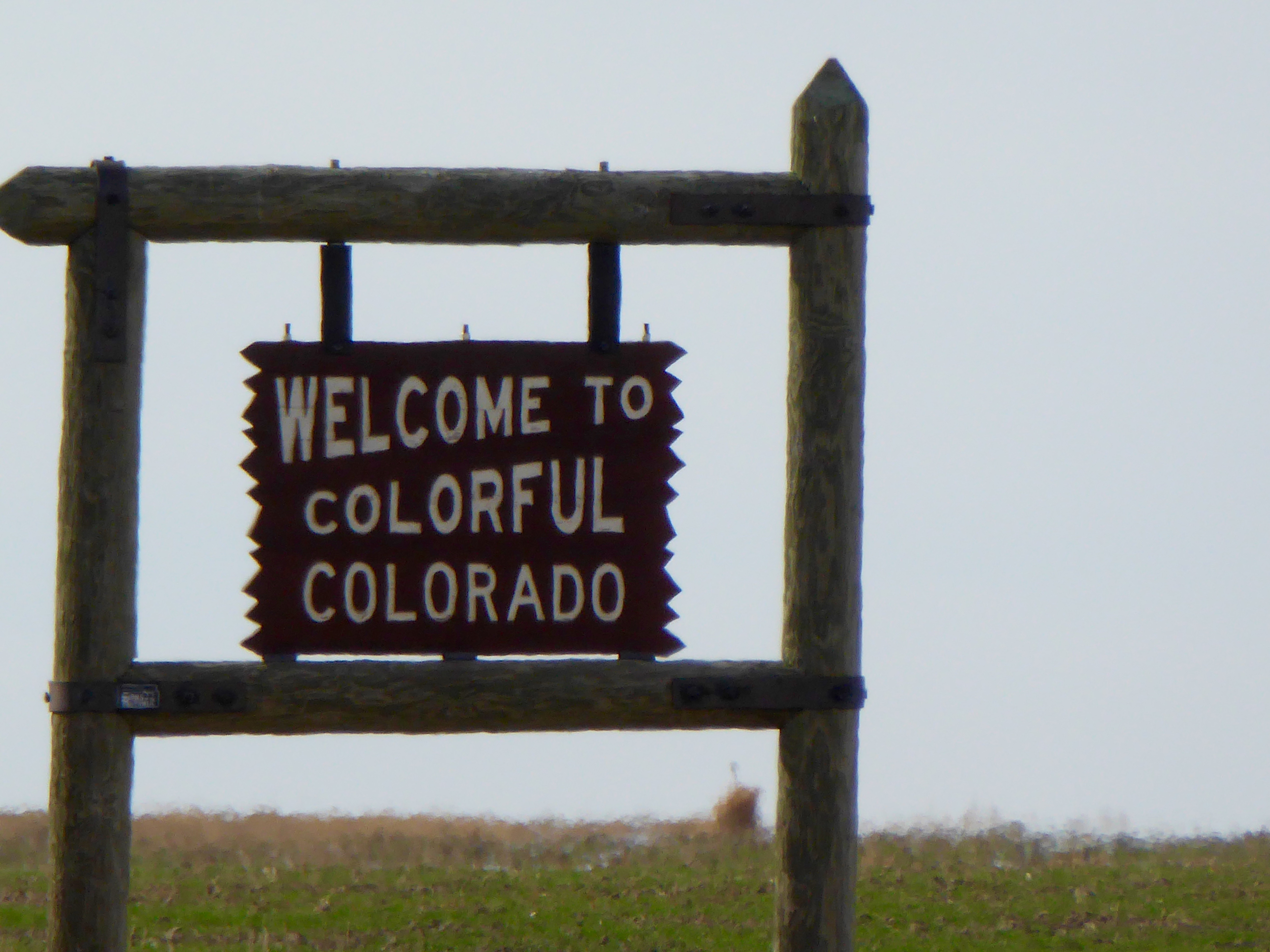
Heading back home
It is always good to go home. On the drive back, we reflect on the Kansas landscape we saw.
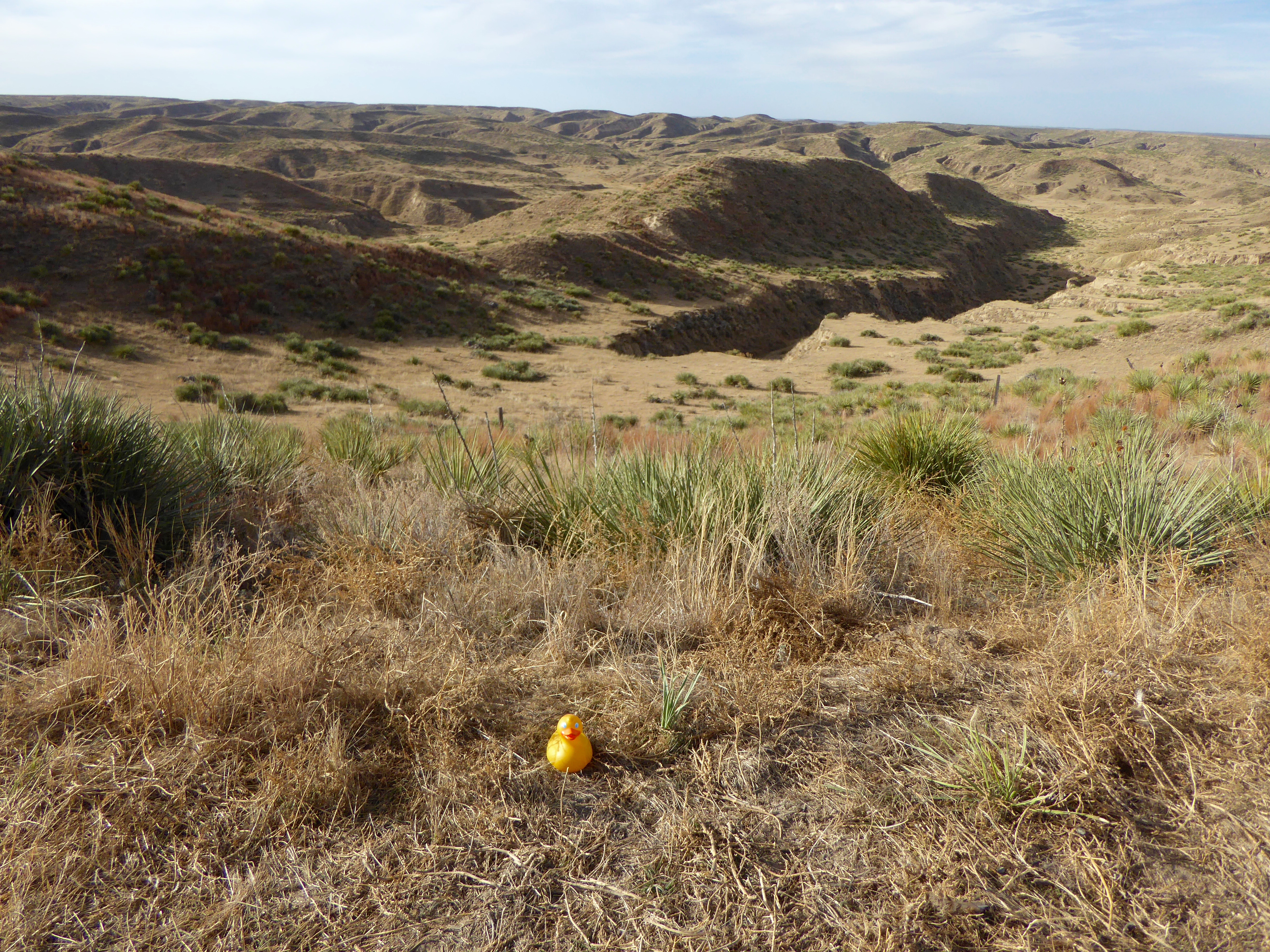
We really did see this in NW Kansas. Badlands?
This looks more like the Badlands of North and South Dakota, but it is the Arikaree Breaks in Northwest Kansas. We hope you drive around your area and see some surprising features also.

I’ve enjoyed this interesting drive. It’s a shame you don’t have three legs. You could have stood with one foot in each state!
Three legs and feet would have been convenient but real difficult to buy shoes. Thanks for reading and commenting.
Another interesting adventure!
Was interesting and a surprise to see this landscape in NW Nebraska. Thanks for reading and commenting.
My mistake. Make that unusual landscape in NW KANSAS!
Sounds like it was an interesting trip, I really enjoyed the pictures! I’m glad you got to go explore the area!
It was interesting and fun. Thanks for letting me know about this part of Kansas. Thanks for reading and commenting.