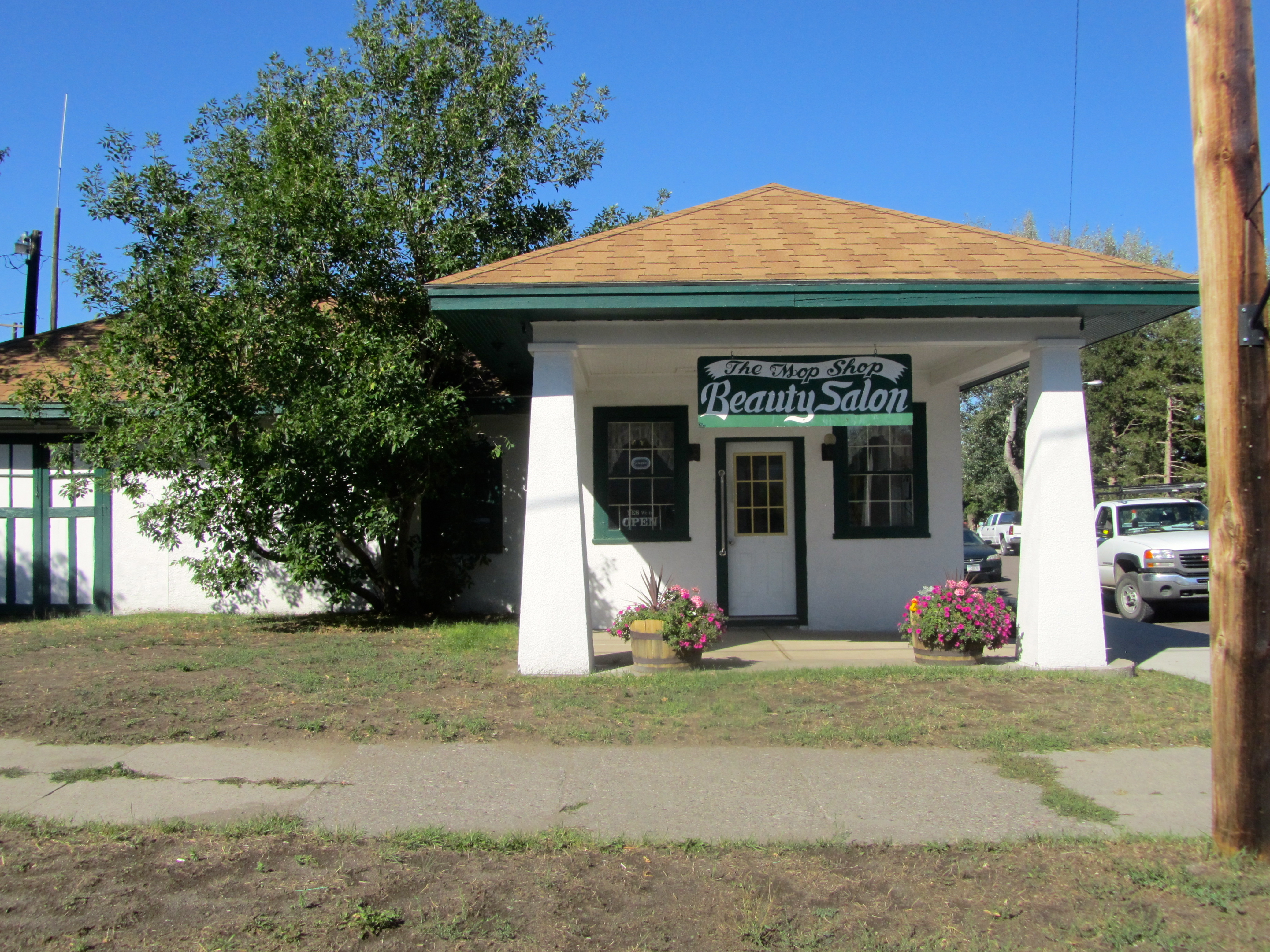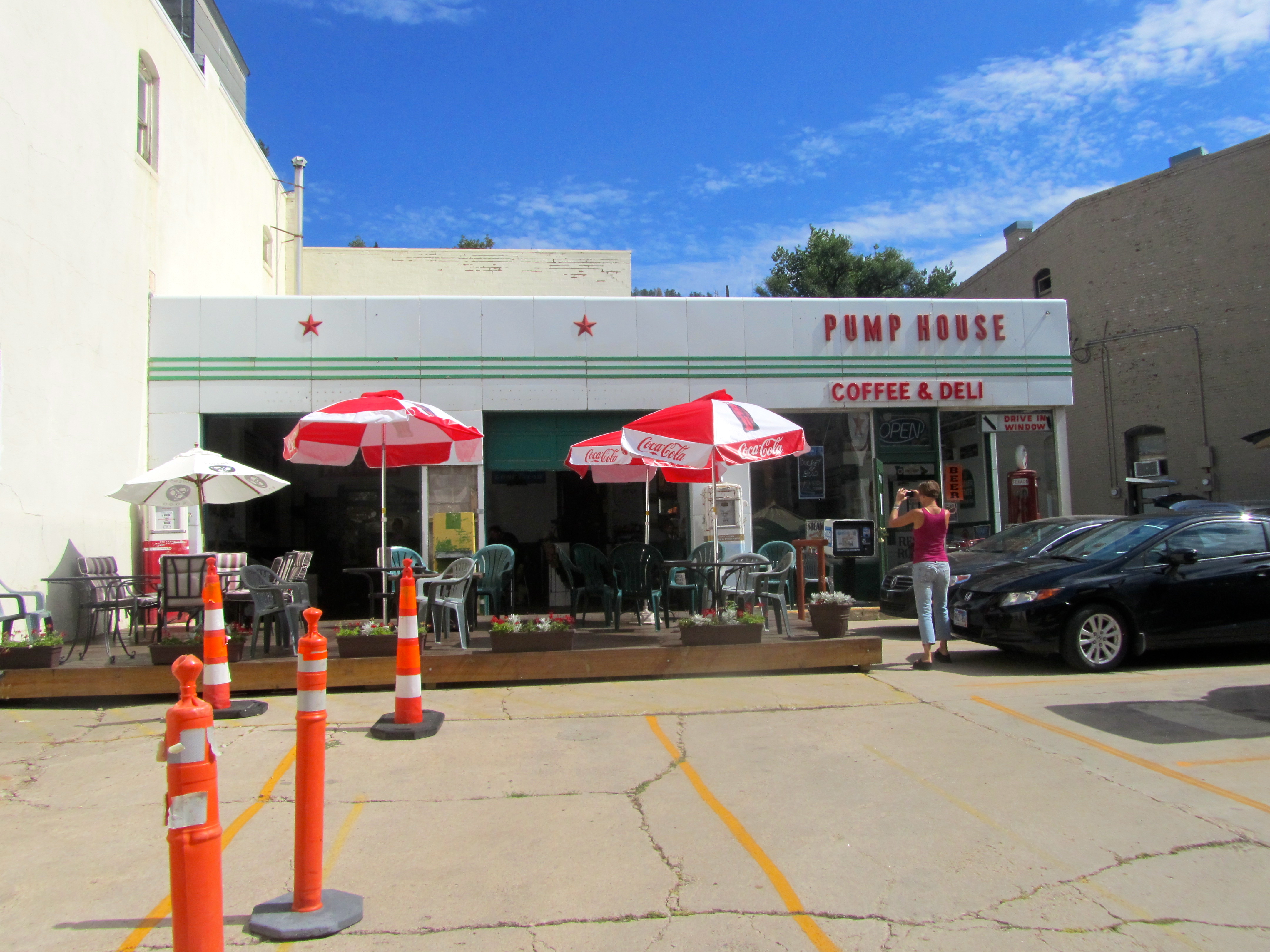
Zeb here with my last post of our recent road trip. Just want to share a few observations about Wyoming. I could not quickly describe Wyoming and I only saw the eastern part, north to south. I saw so many different things there.
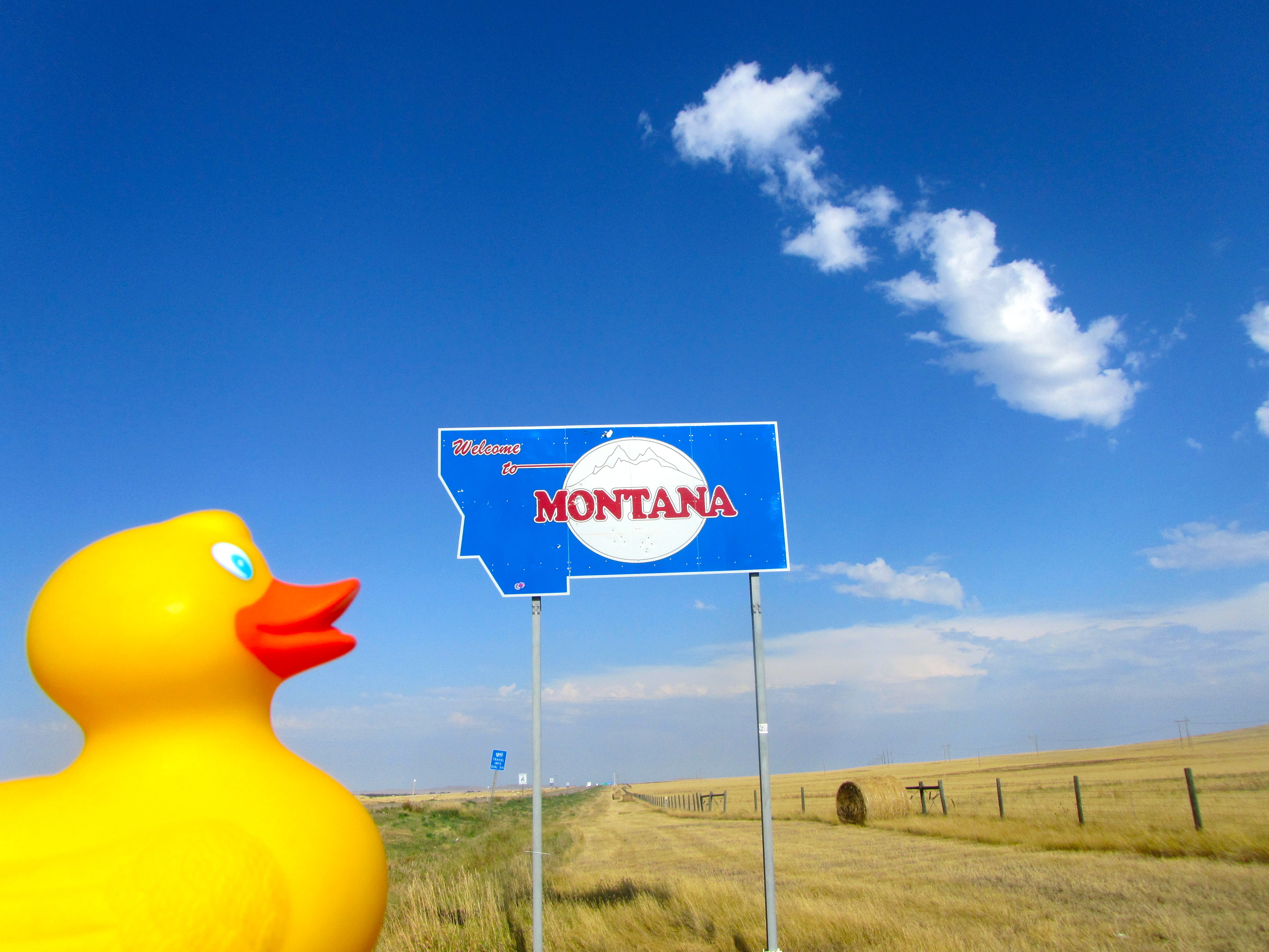
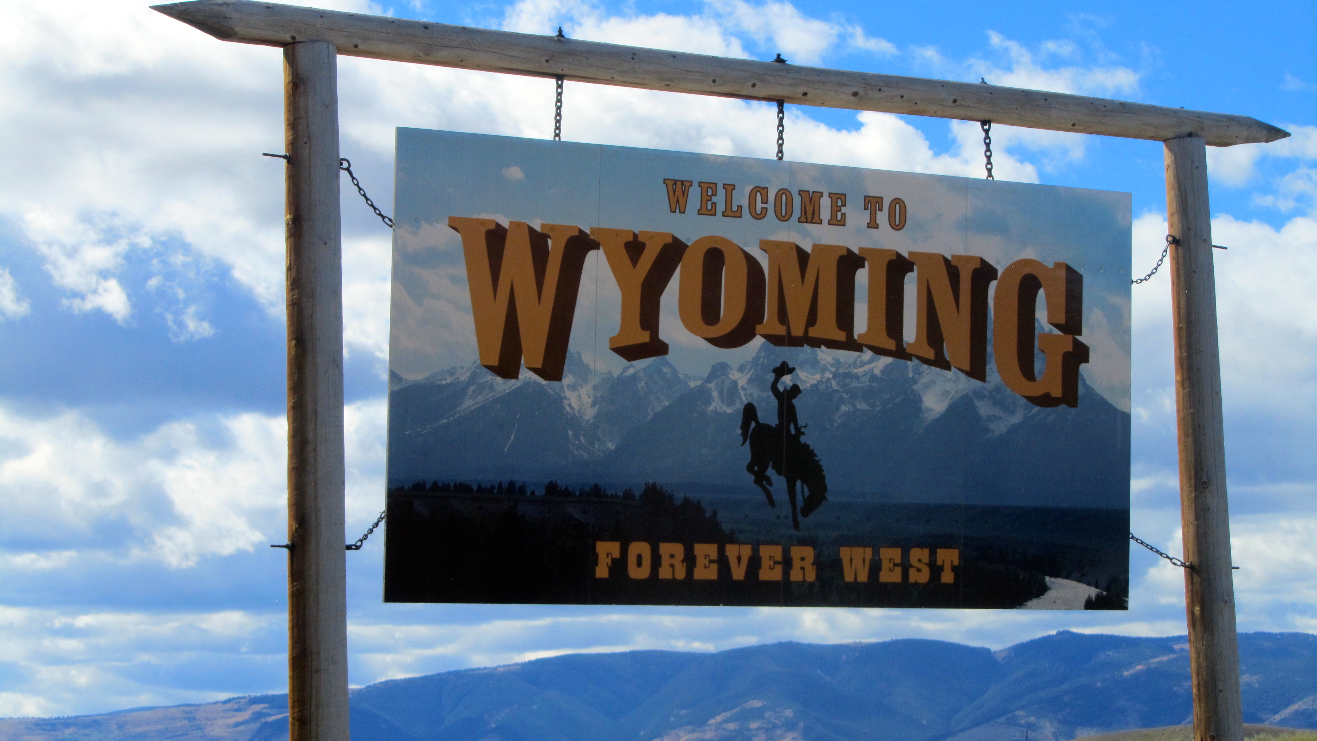
We entered Wyoming at Cheyenne.
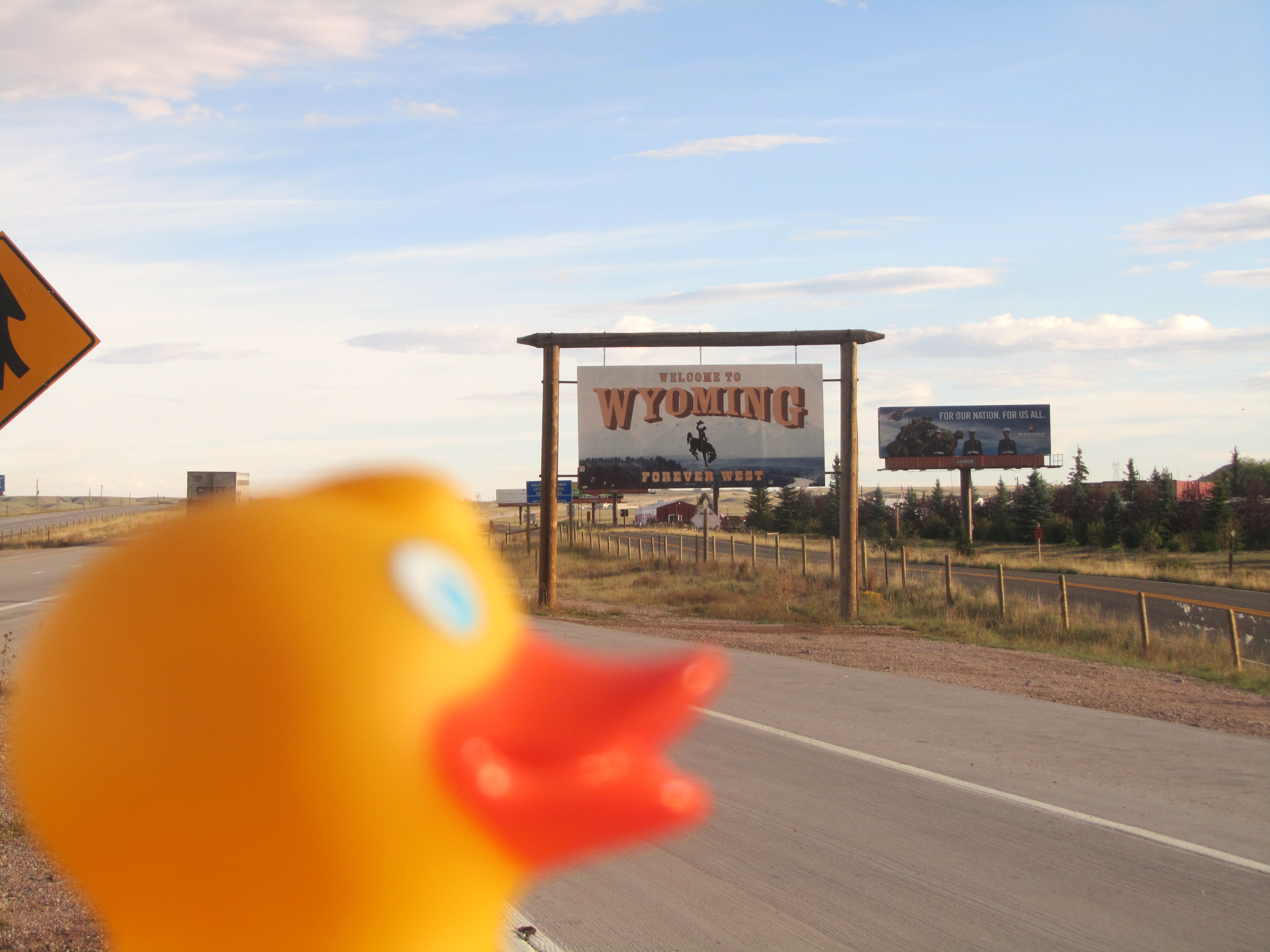
Entering Wyoming
Things were hilly with barren rock formations and outside of the city, lots of empty land.
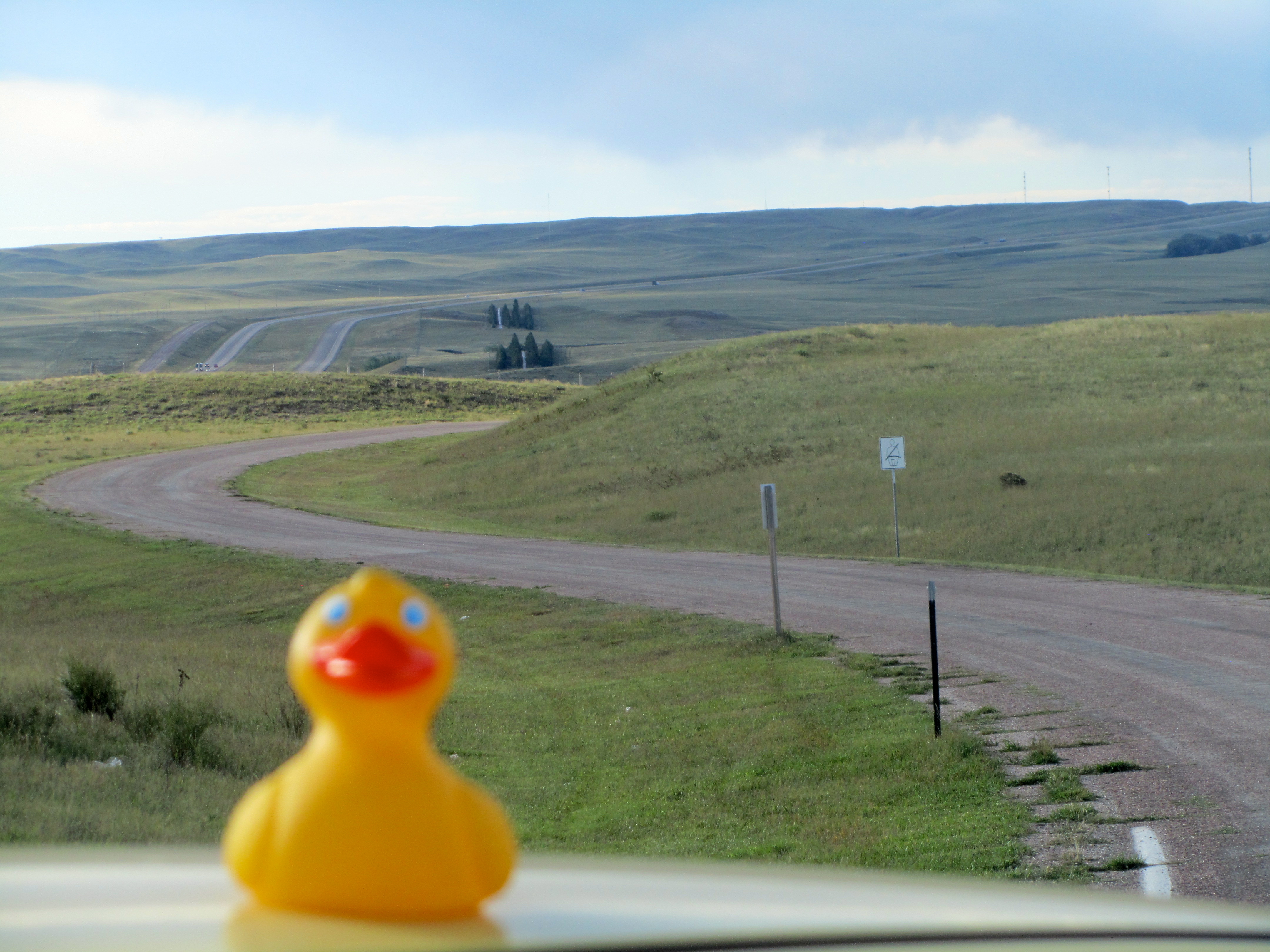
Lonely highway
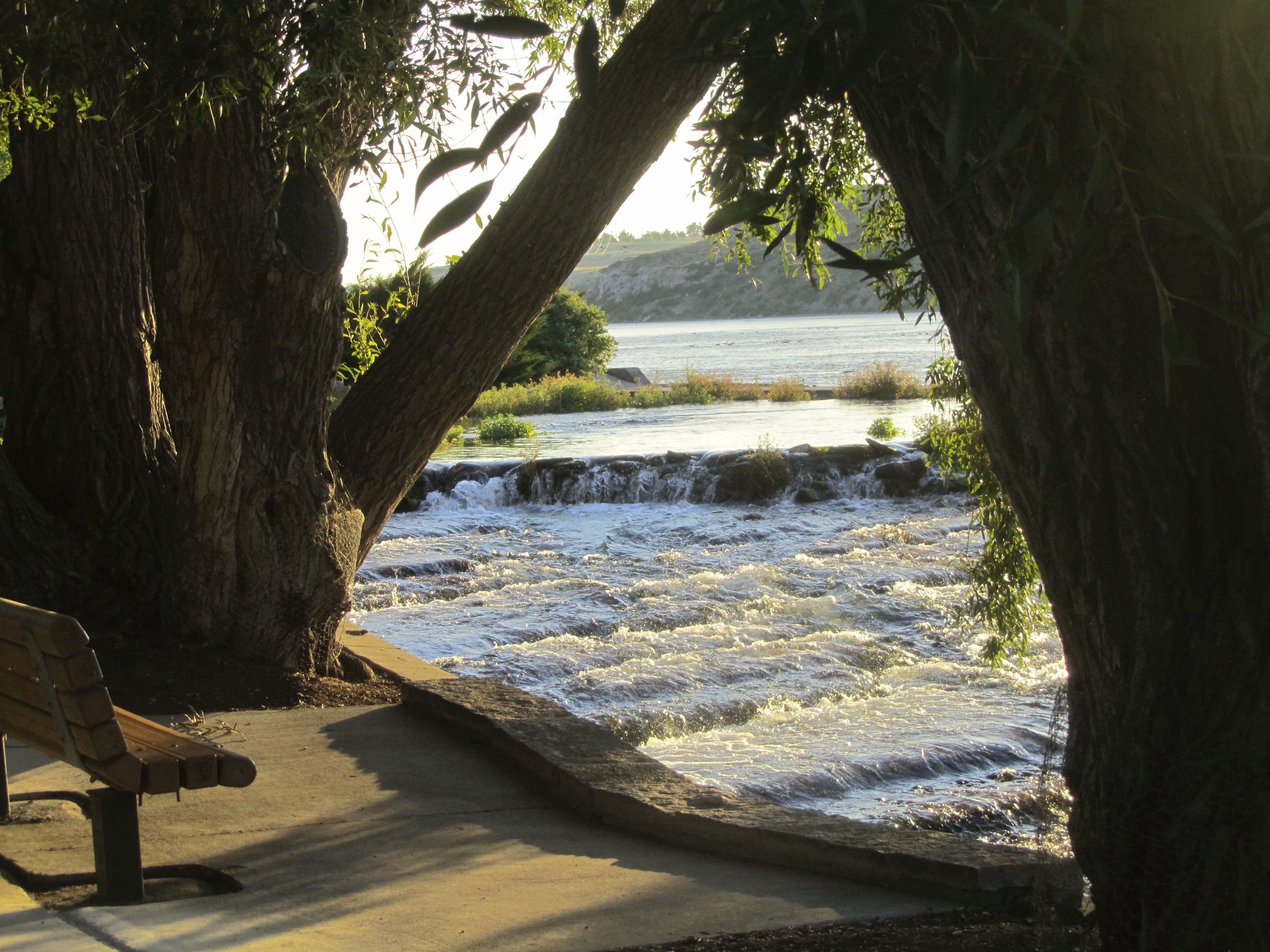
Very few towns and very few people. We did stop at a rest stop in Chugwater. The signs said Chugwater was famous for chili. It was pretty hot that day, so no chili for us. But, let’s talk about the rest area. The building utilized passive solar power.
Mom took some photos, but I think I should explain what goes on here. There are solar panels on the south side and shutters that close at night.
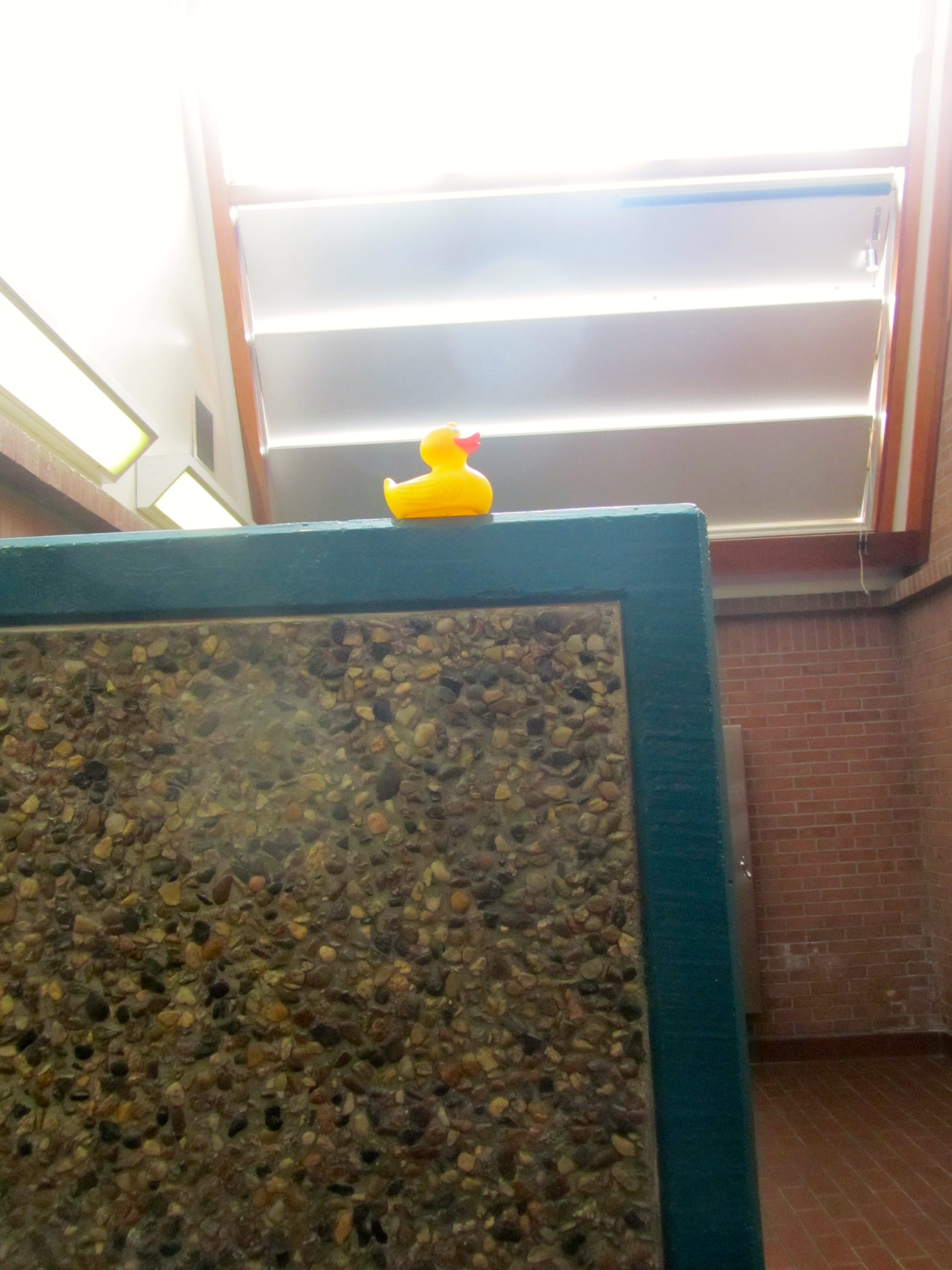
Inside rest area building I am on stone wall with solar panels above
There is a solar hot water storage tank also. The building does have back up electric heaters in the cement floor and back up electric water heaters. There is also earth berming on the north side of the building to reduce energy loss.
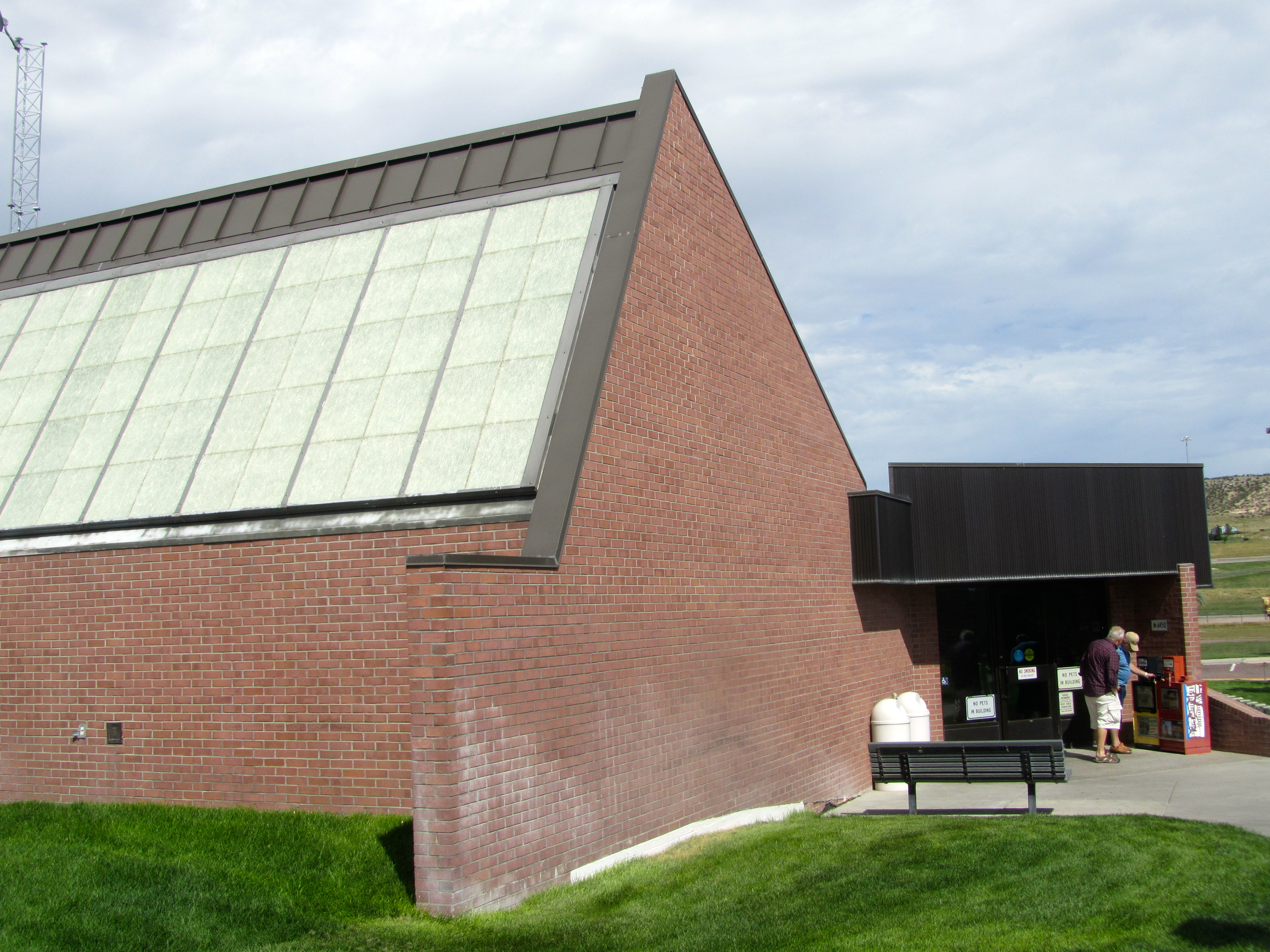
Solar panels at rest area
This seems like a very smart idea to this duck.
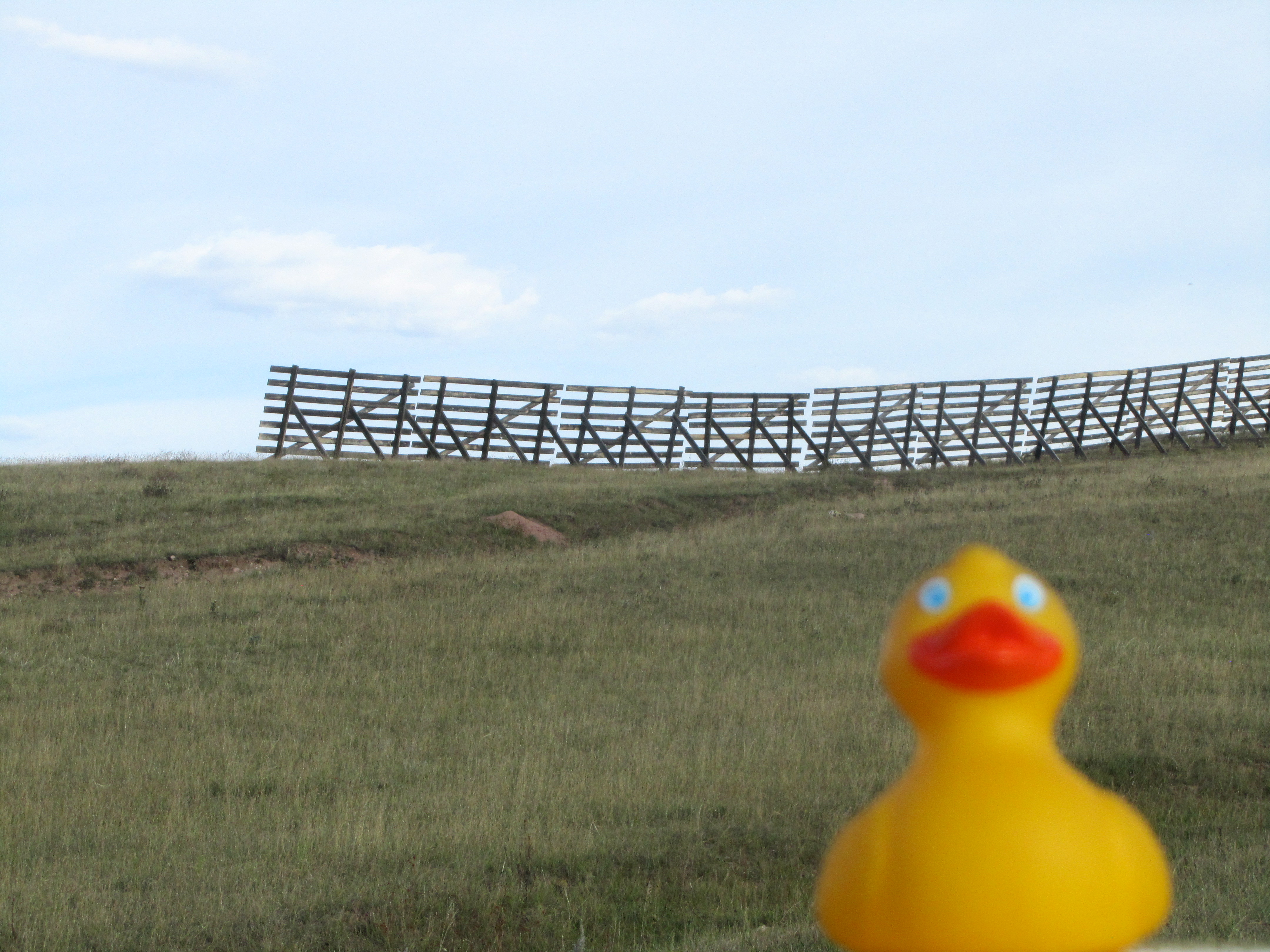
Most people have heard that Wyoming is very windy. It is! Here is a snow fence.
Snow fence
These snow fences do not stop the snow, but blowing snow usually will drift against the fences. This reduces the size of snowdrifts on the highway or any other place the ranchers want to limit the snow drifts.
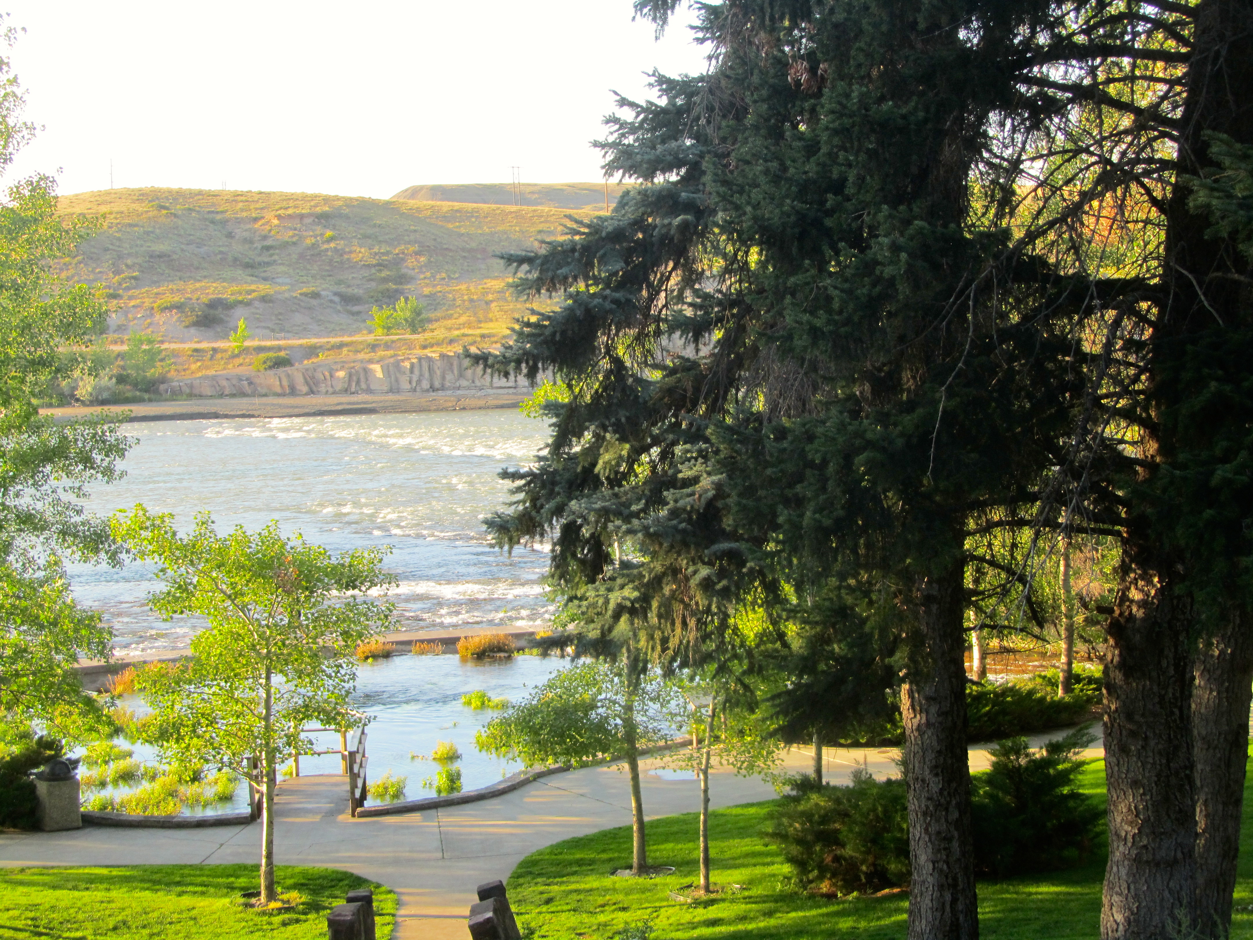
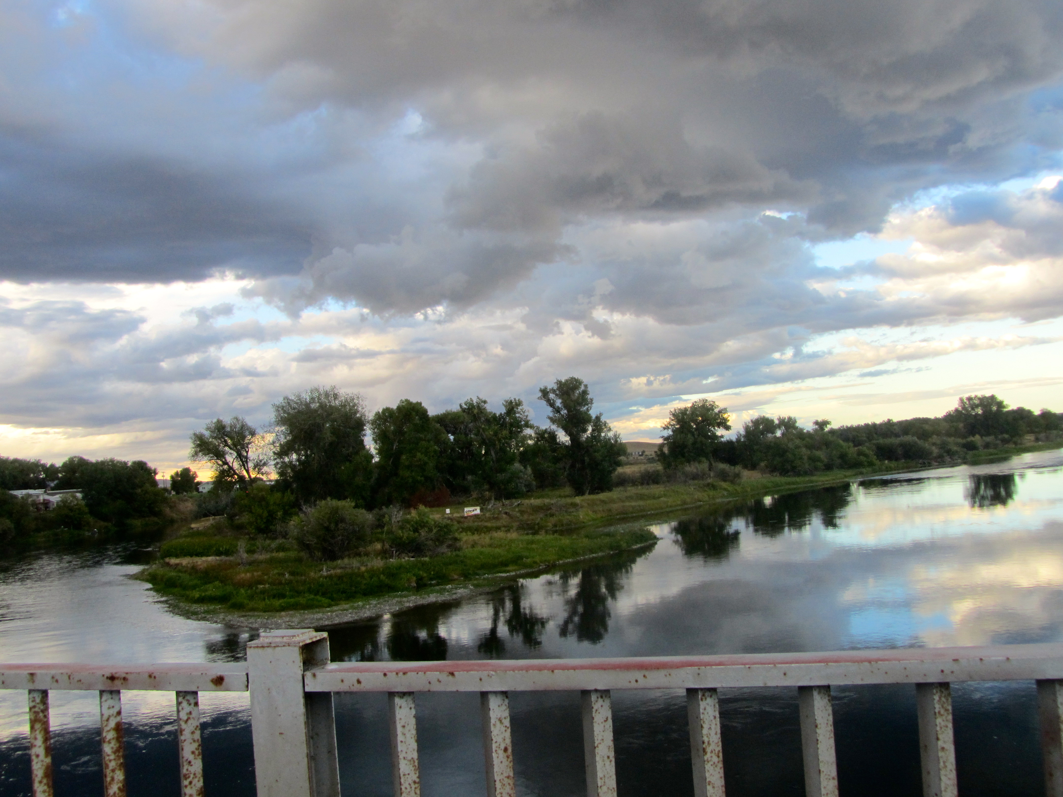
We passed Glendo Lake State Park. This is a huge lake that is used for farm irrigation in multiple states. It is also a recreation center, complete with camping, fishing and boating. We saw this lake in late September, so the water level was fairly low. Winter snow and rain will fill it again so it will be ready next spring.
We continued on I-25 to Douglas. We drove through and saw a real western looking bar and restaurant. White Wolf Saloon has antlers on the front,
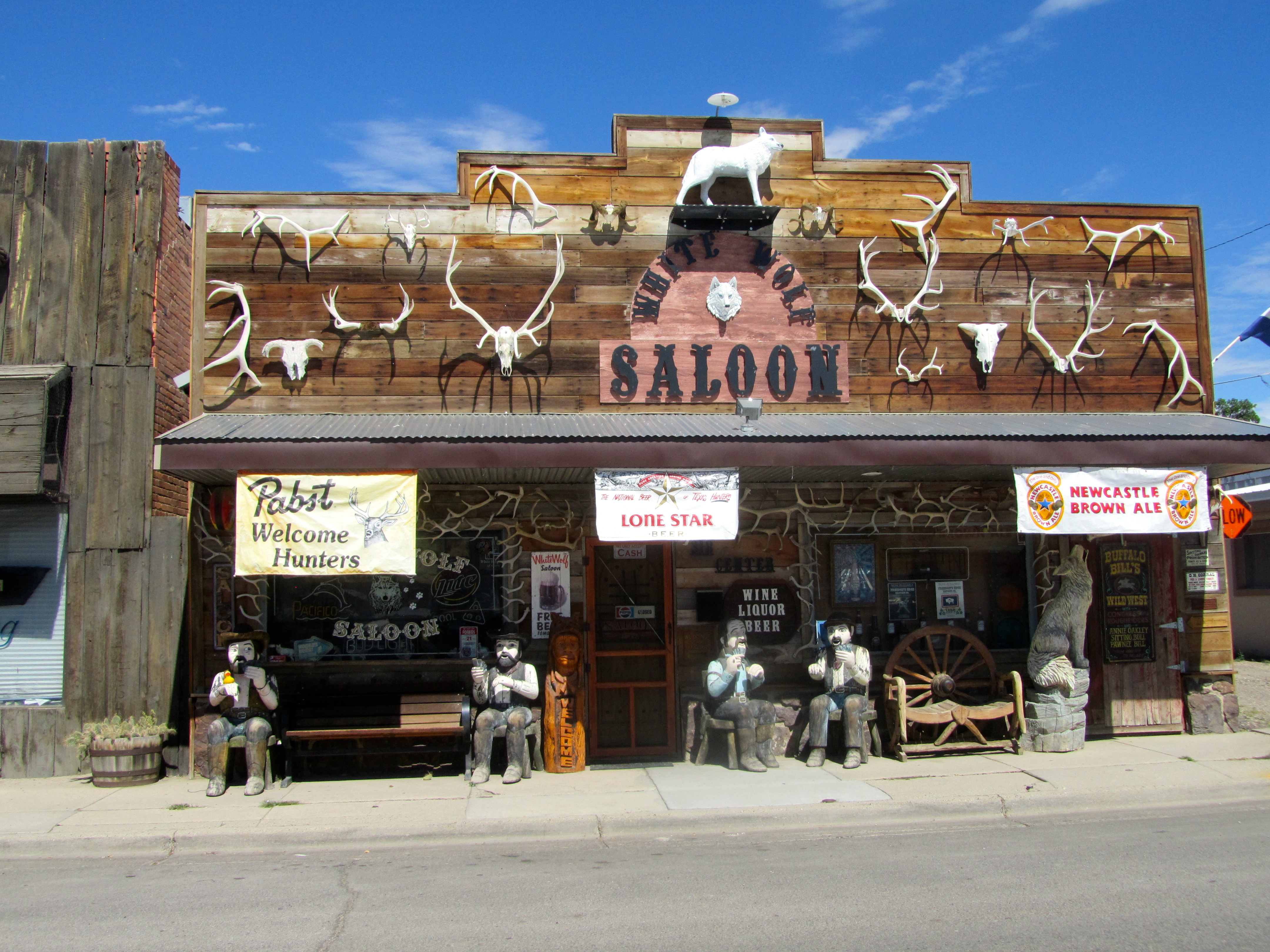
White Wolf Saloon in Douglas, Wyoming
carved figures on the porch and lots of mounted animals inside. WOW!! This is real old western place. I sat on each figure
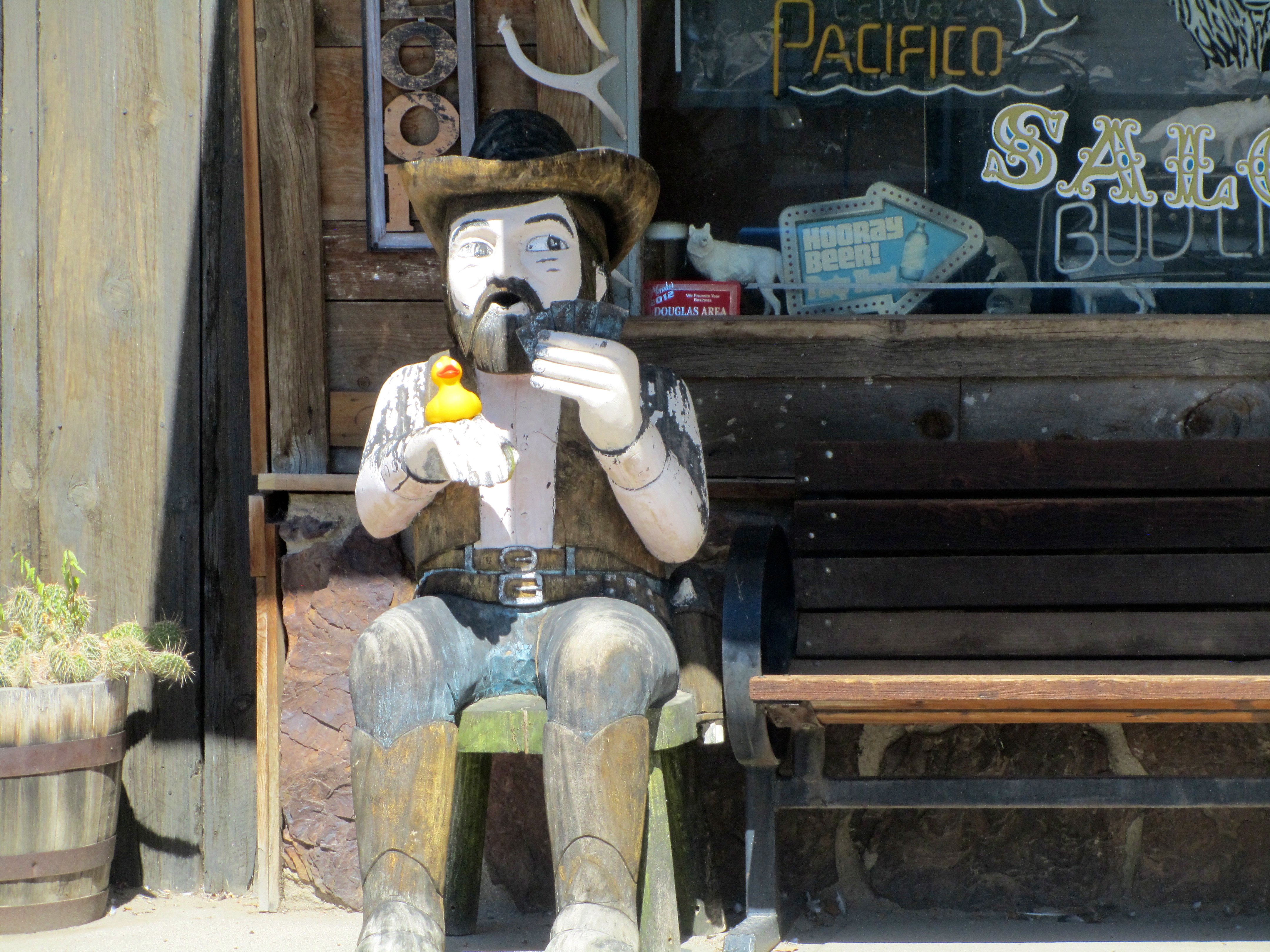
I am helping my friend play cards
and on the bar inside.
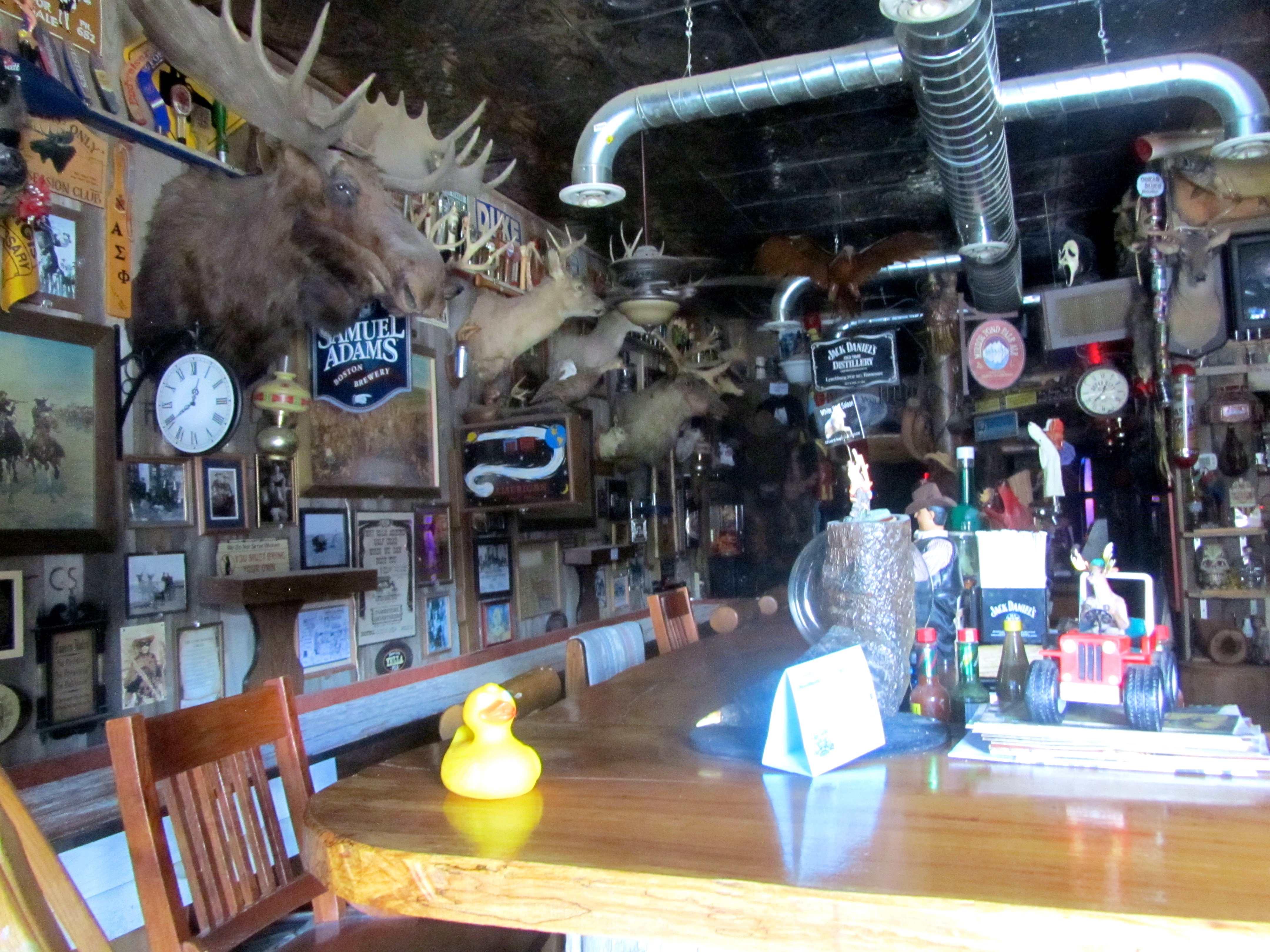
Lots of stuff inside White Wolf Saloon
Another time lunch would be fun here. But this trip, we had a destination and time constraints. But what fun this is!
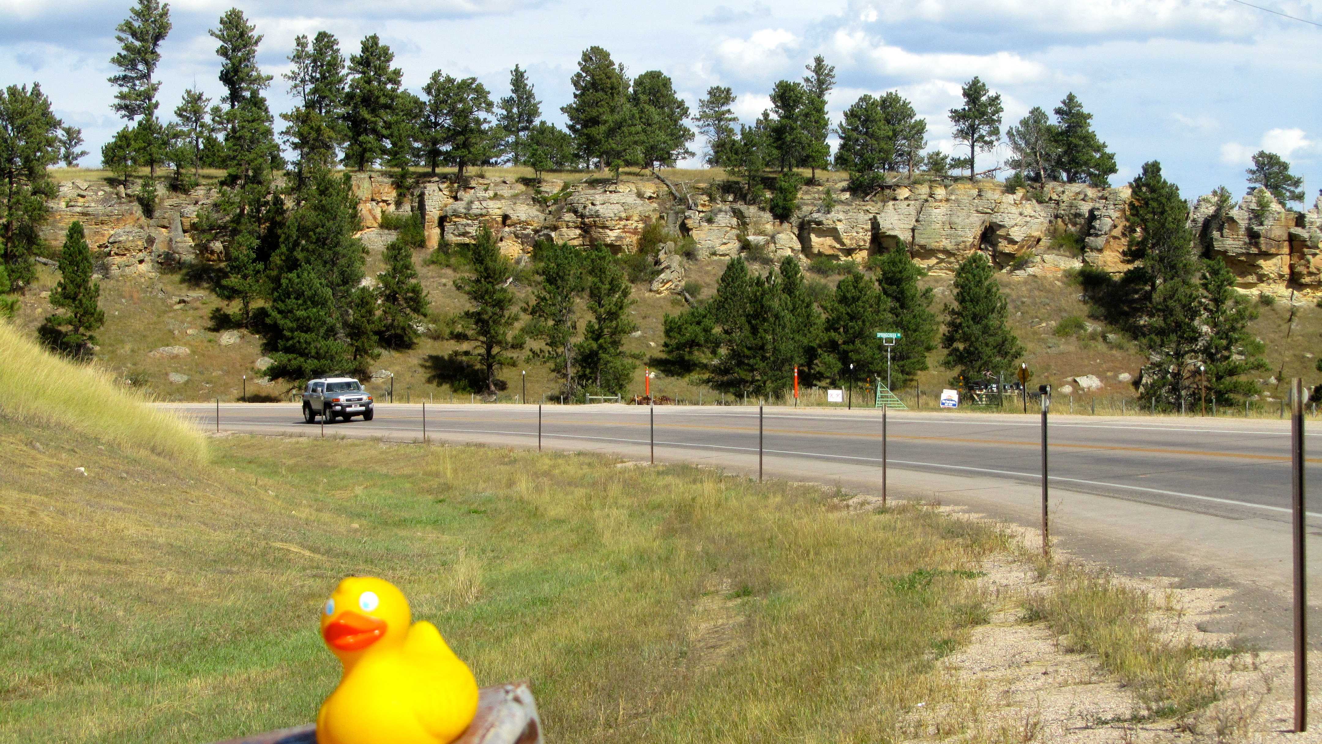
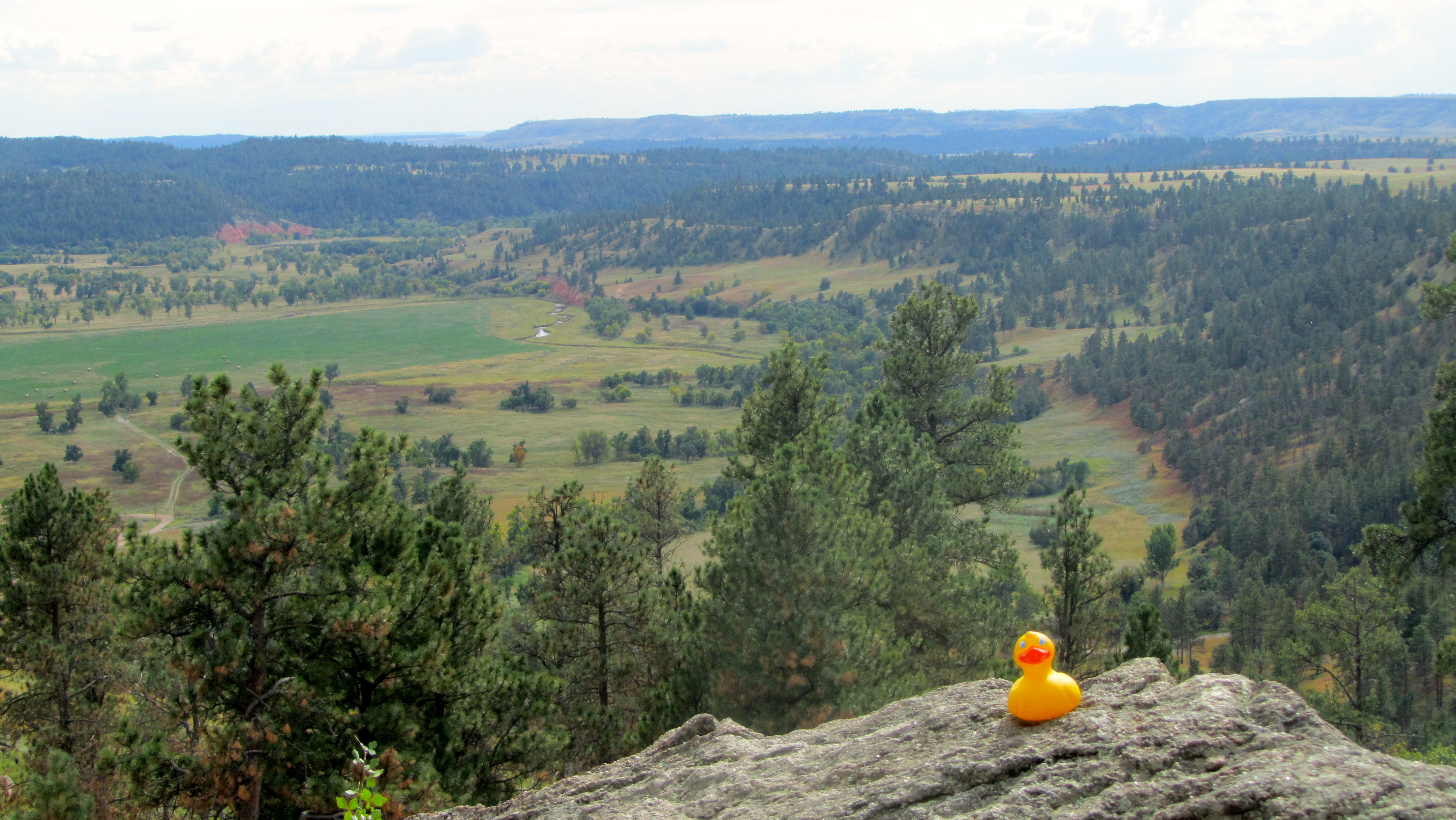
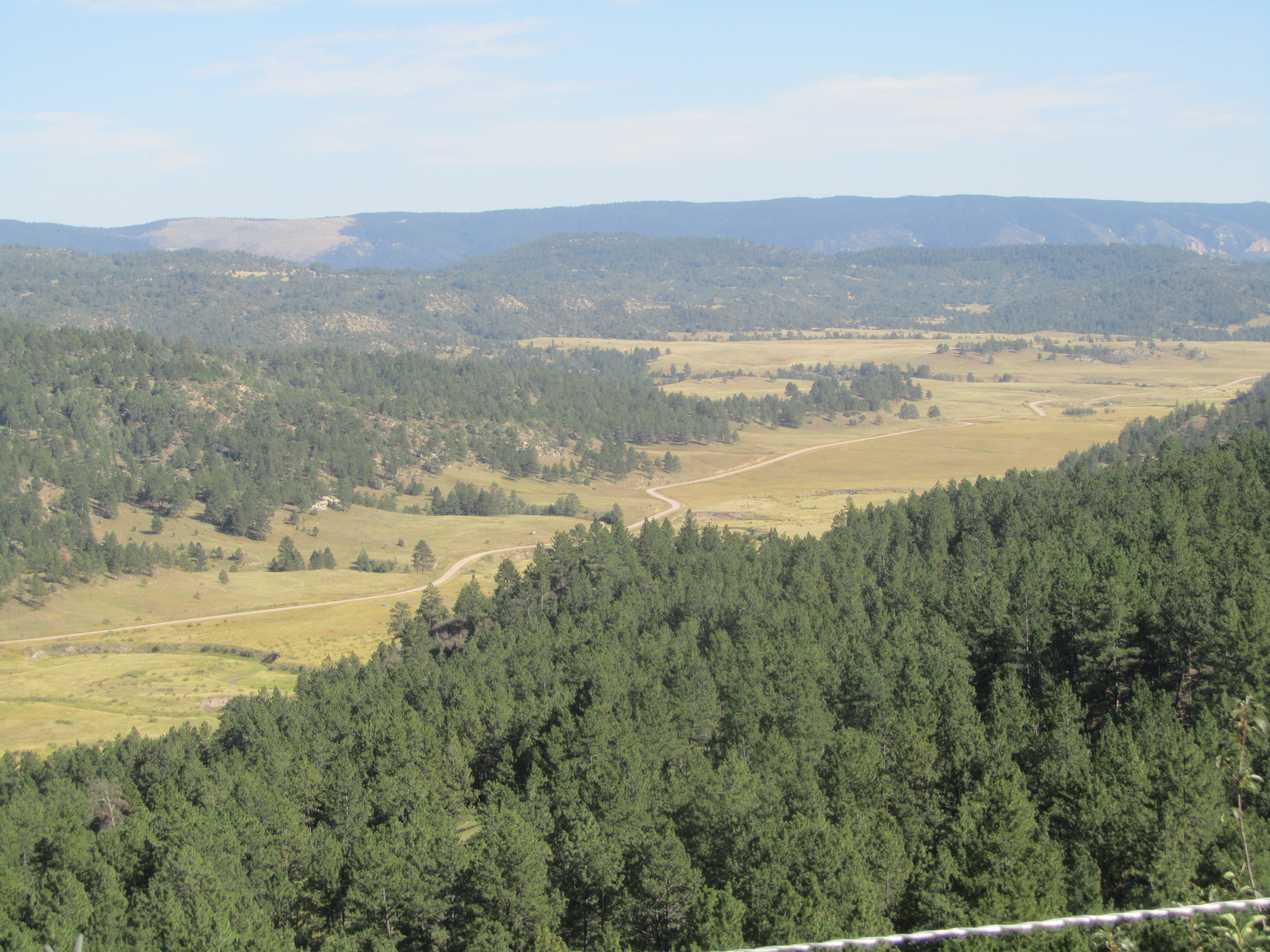
Leaving Newcastle and approaching the Black Hills, the landscape was hilly and wooded. Very pretty. The Black Hills are mostly in South Dakota, but part of them is in Wyoming.

Black Hills landscape
This looks very different from the land between Cheyenne and Wheatland.
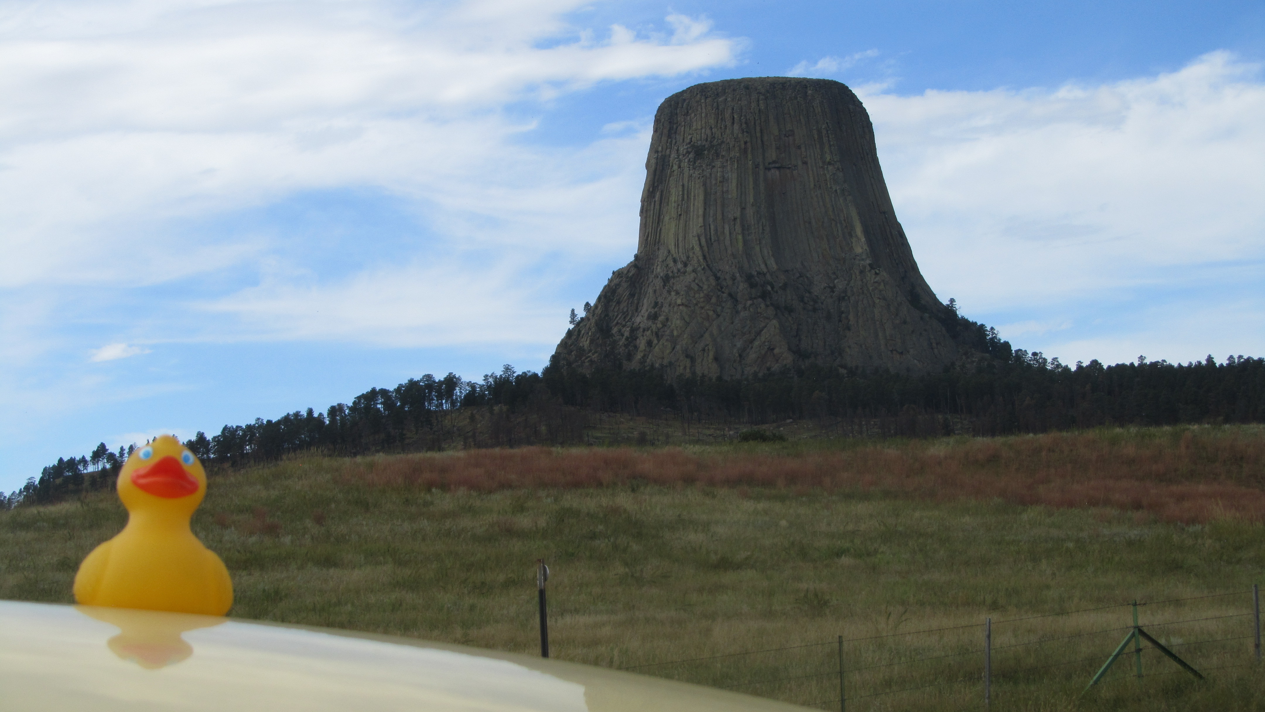
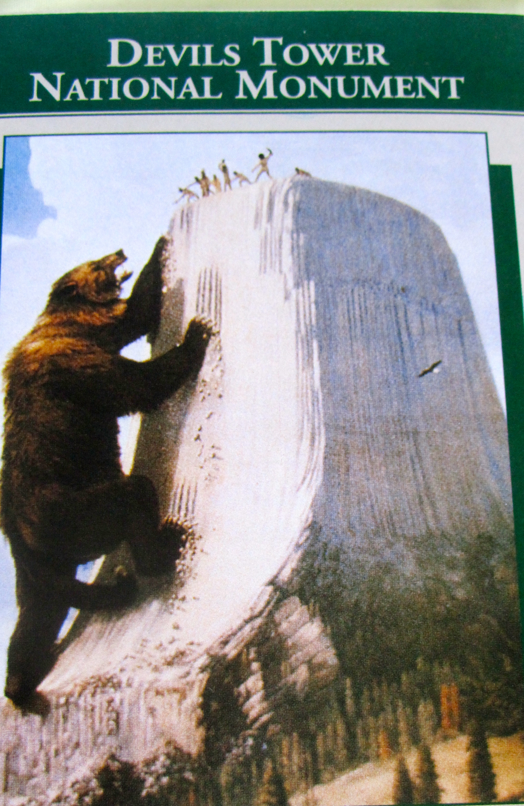
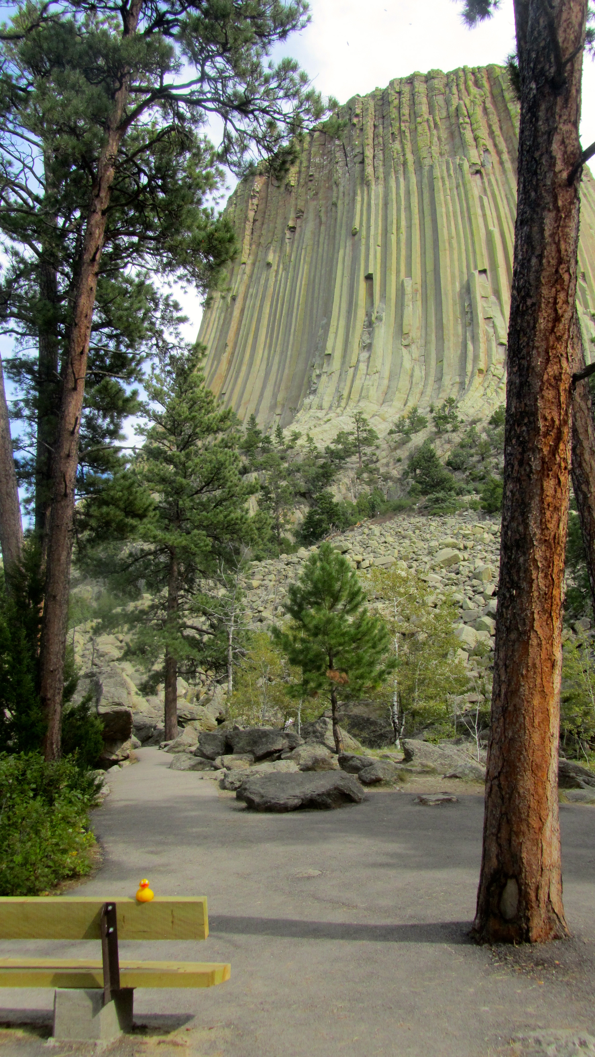
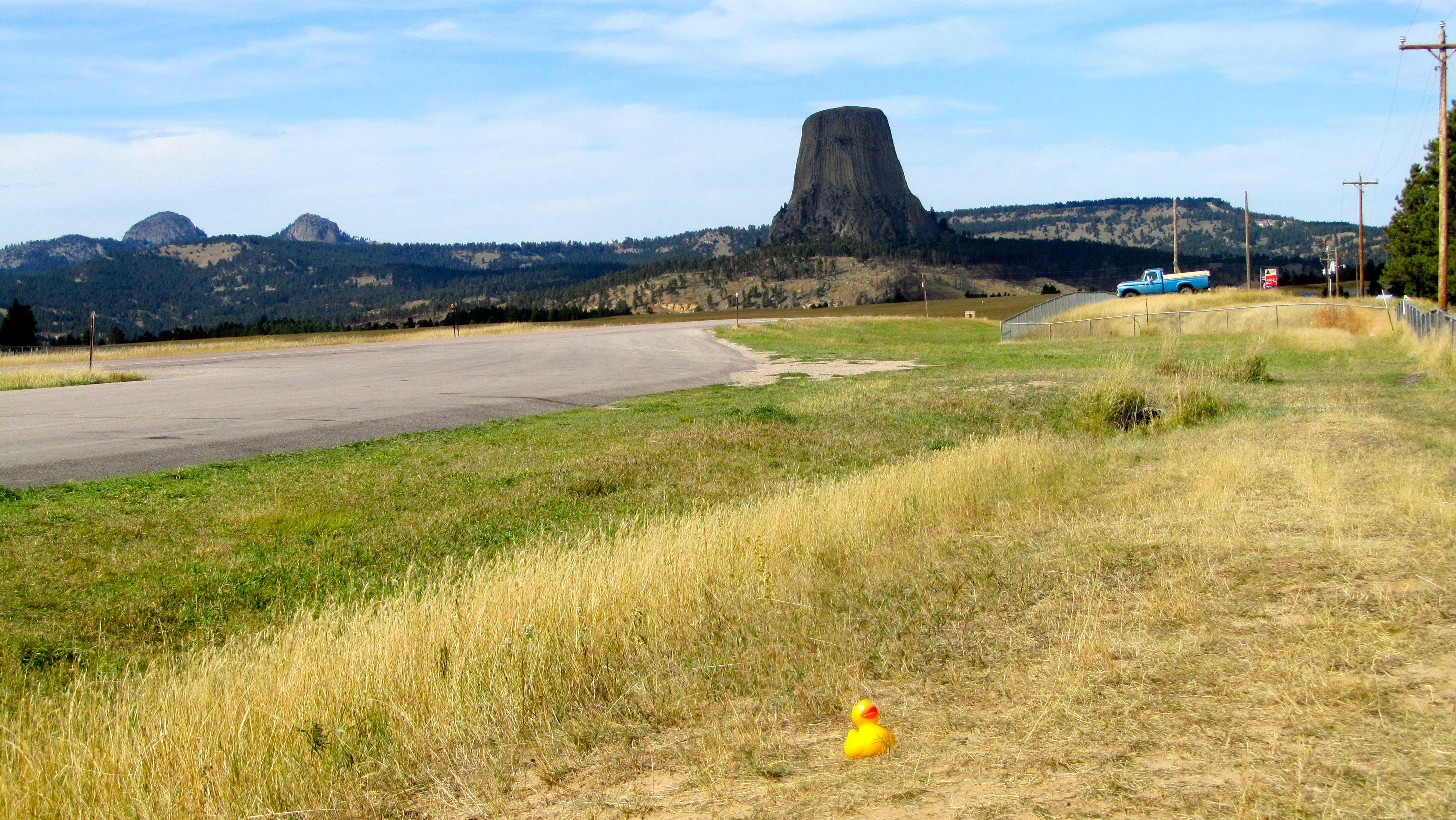
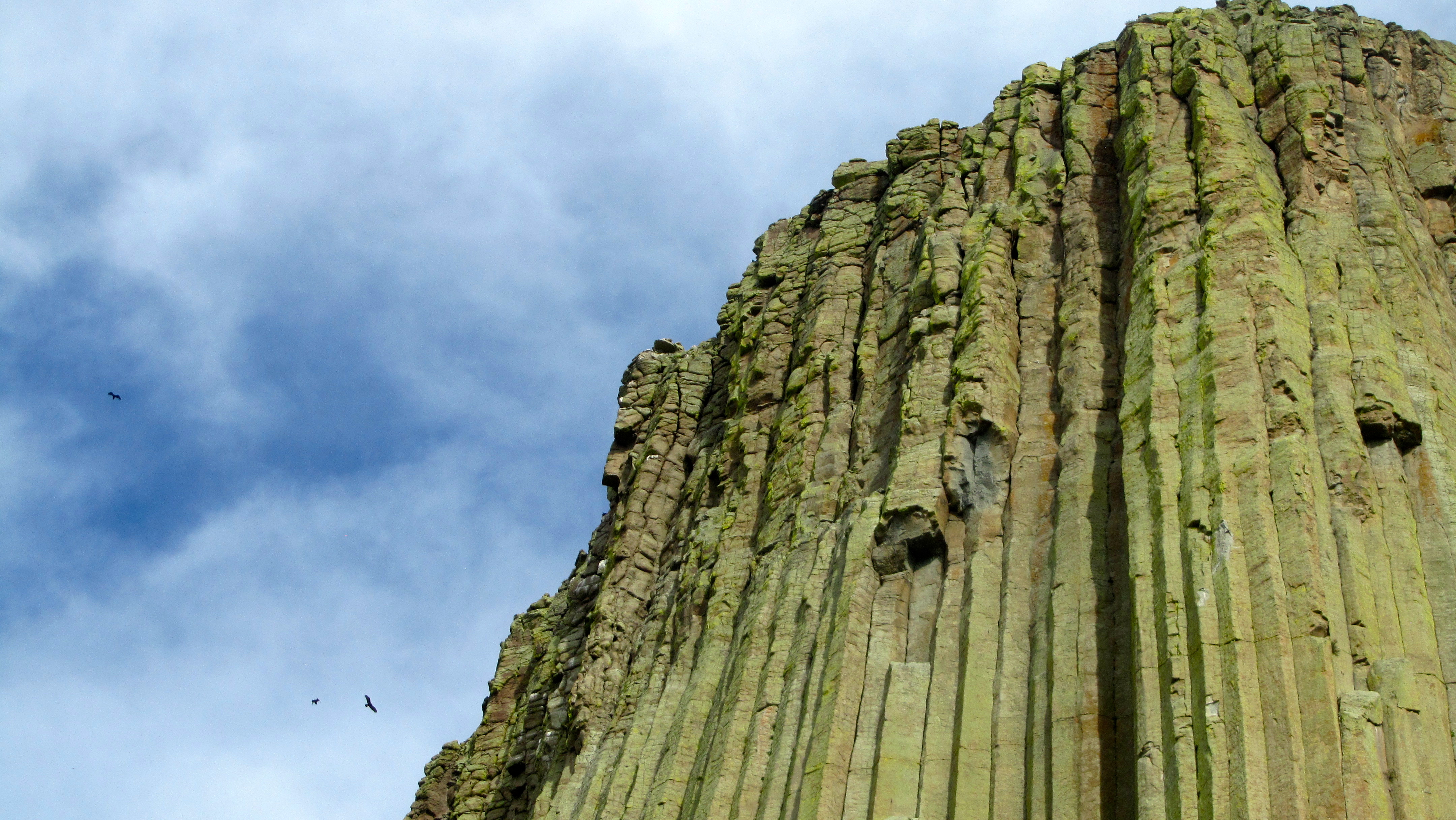
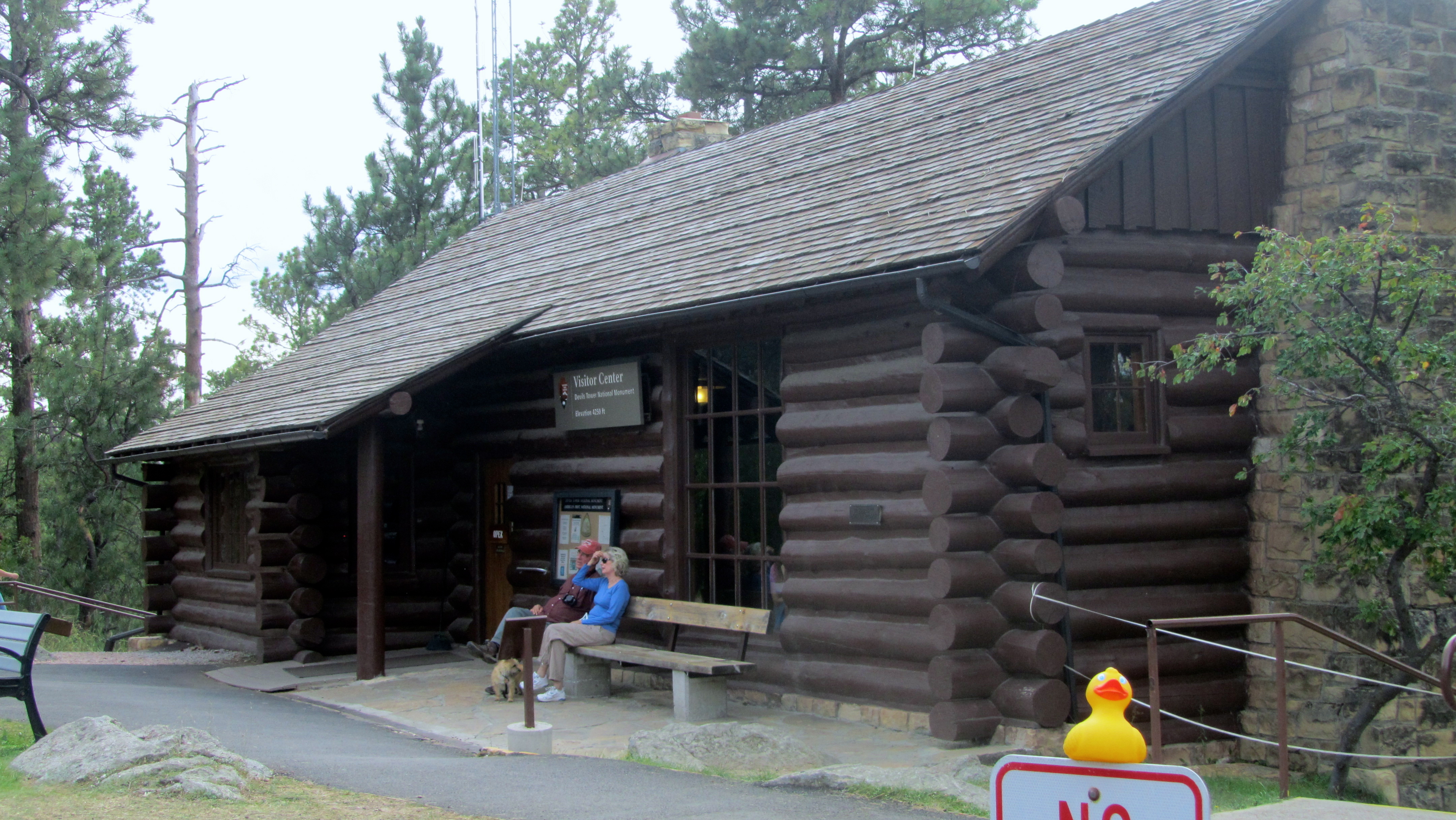
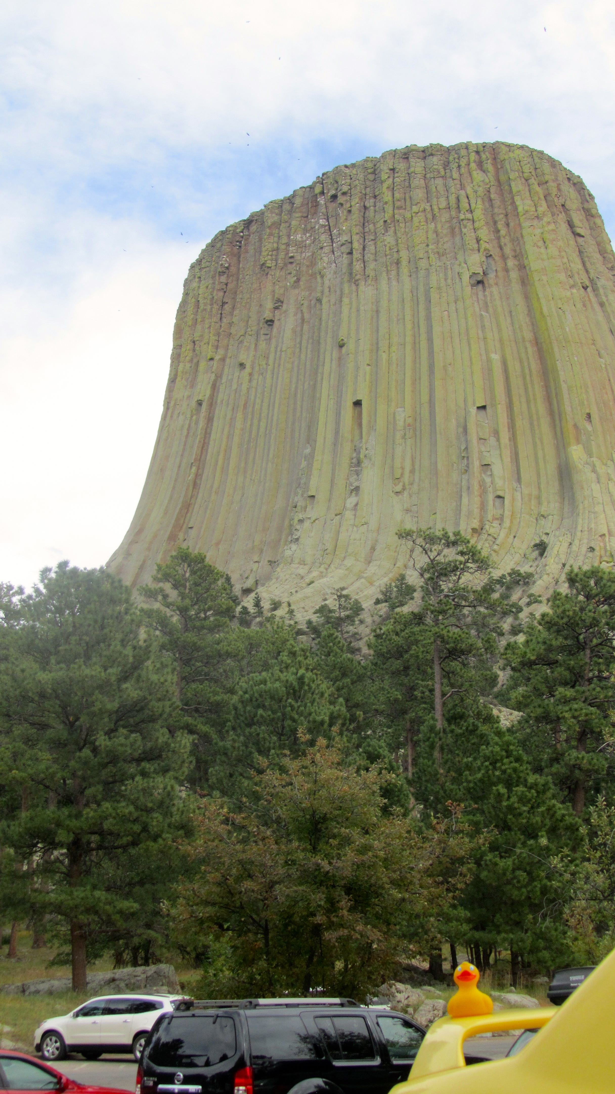
North of Newcastle is Devils Tower
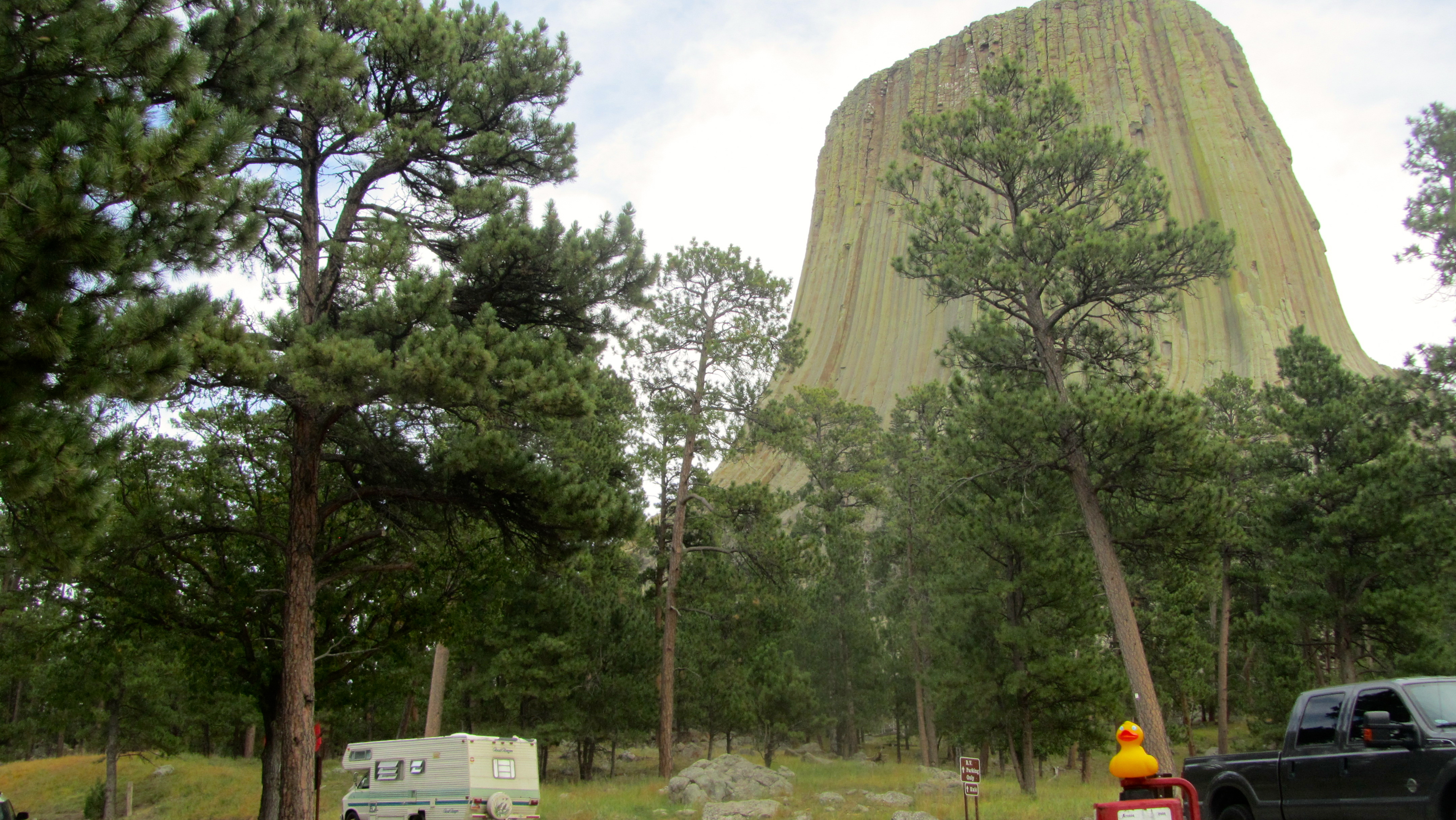
Devils Tower
and Black Hills scenery. See my report on Devils Tower a few days ago. To get to Devils Tower, we left I-25 at Douglas at took highway 59 to Gillette. On this road, we saw more antelope,
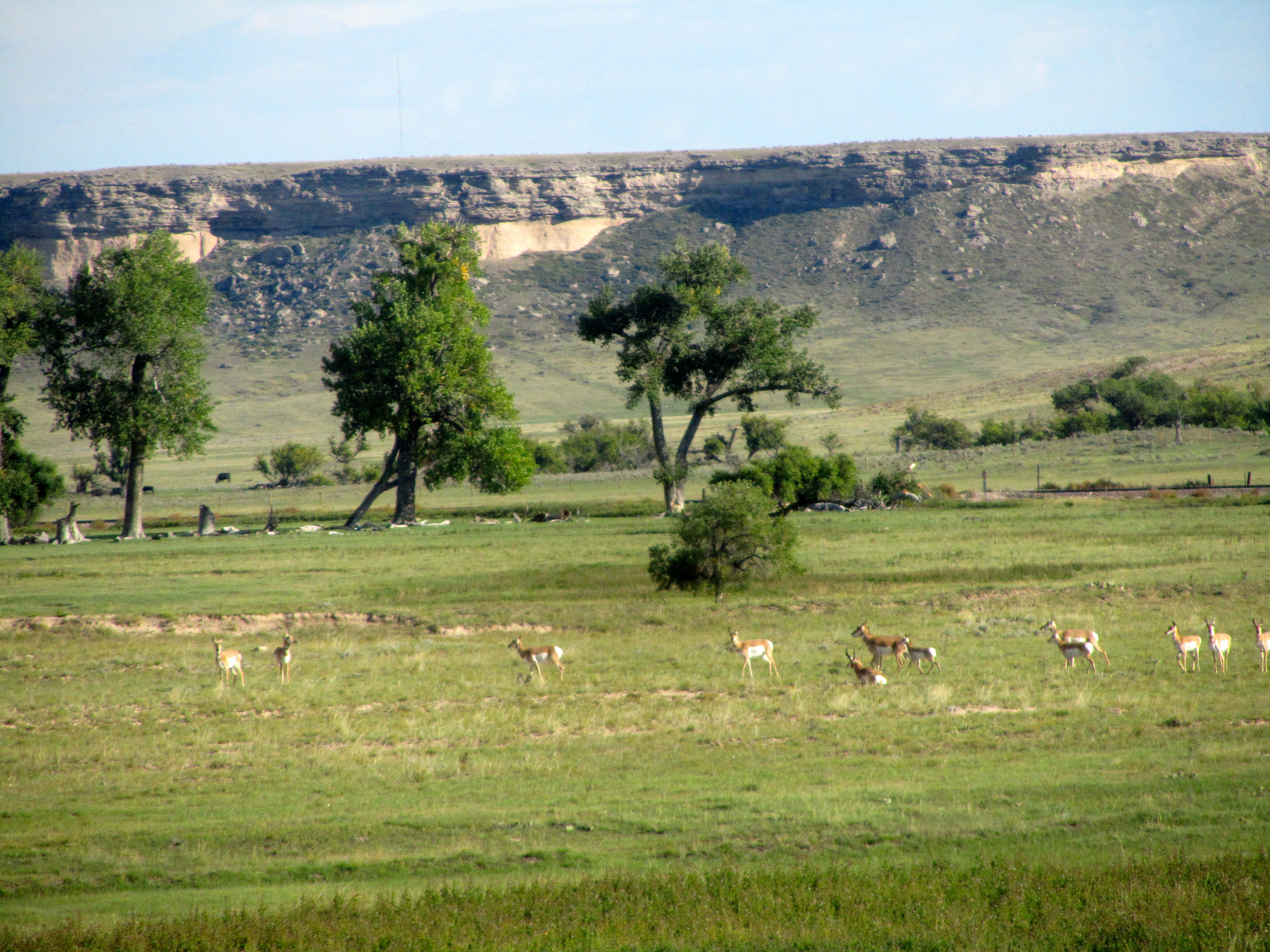
Herd of antelope
more horses,
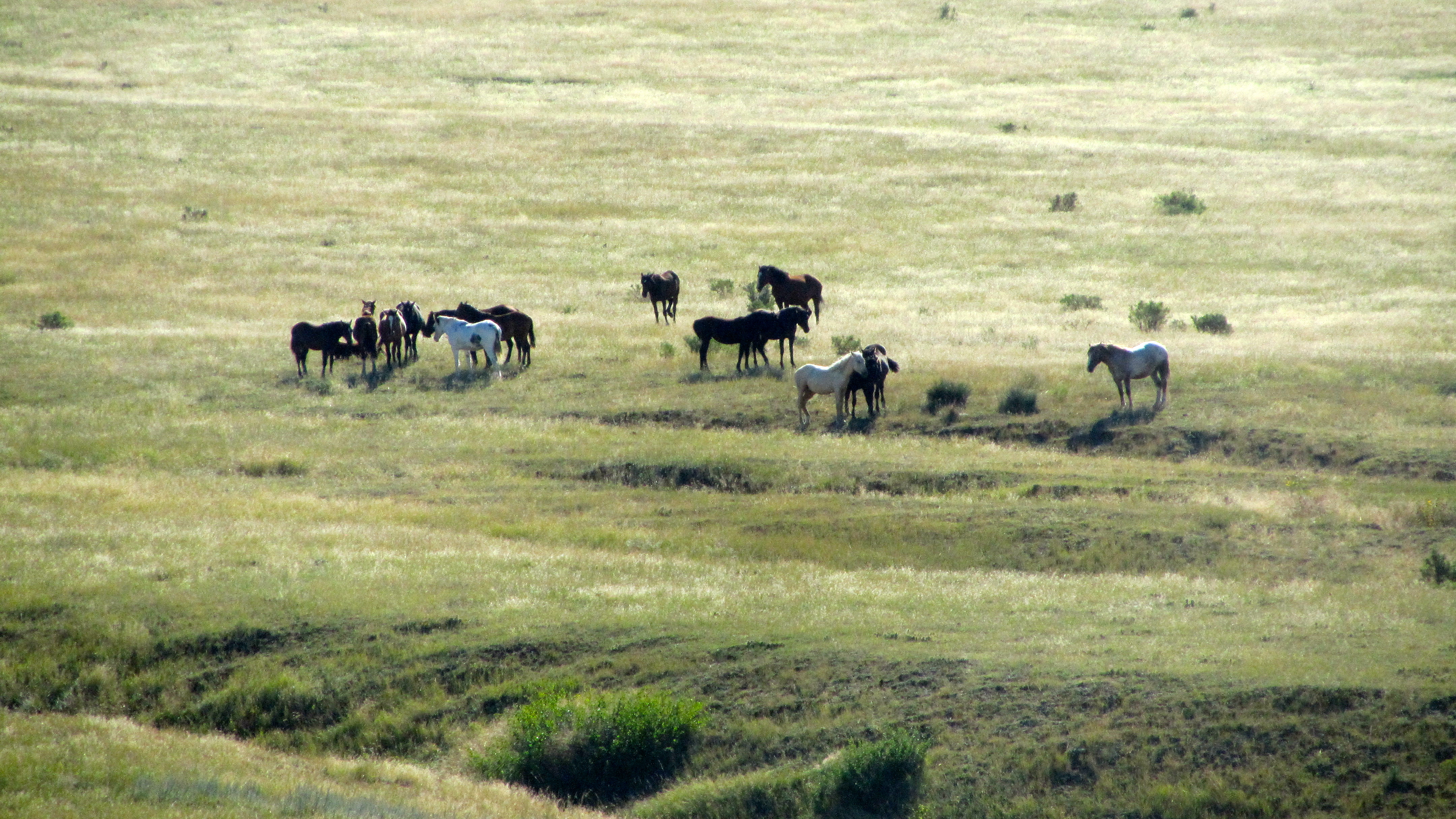
Many horses
more sheep, more cows,
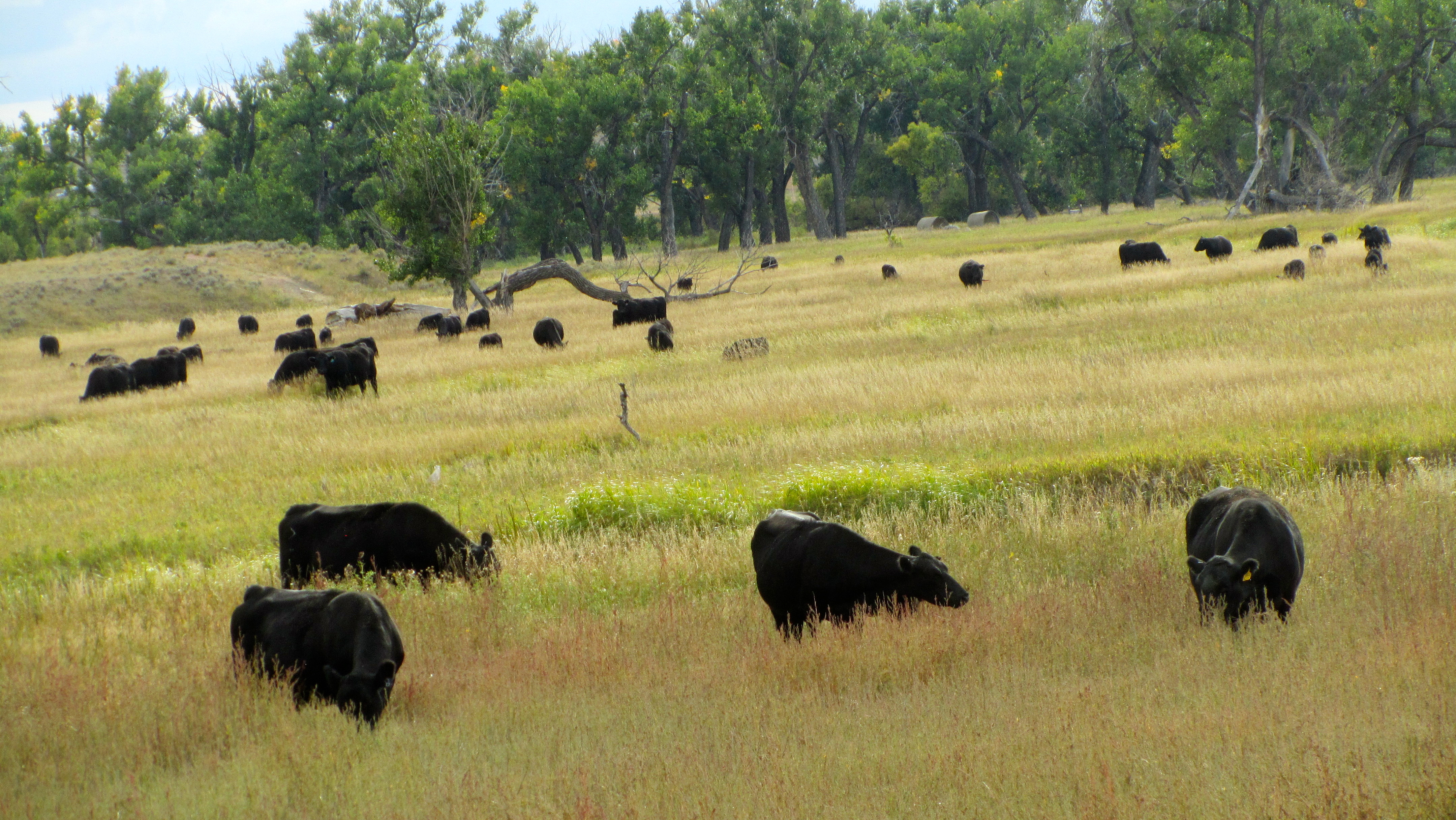
Lots of cows
more oil wells pumping,
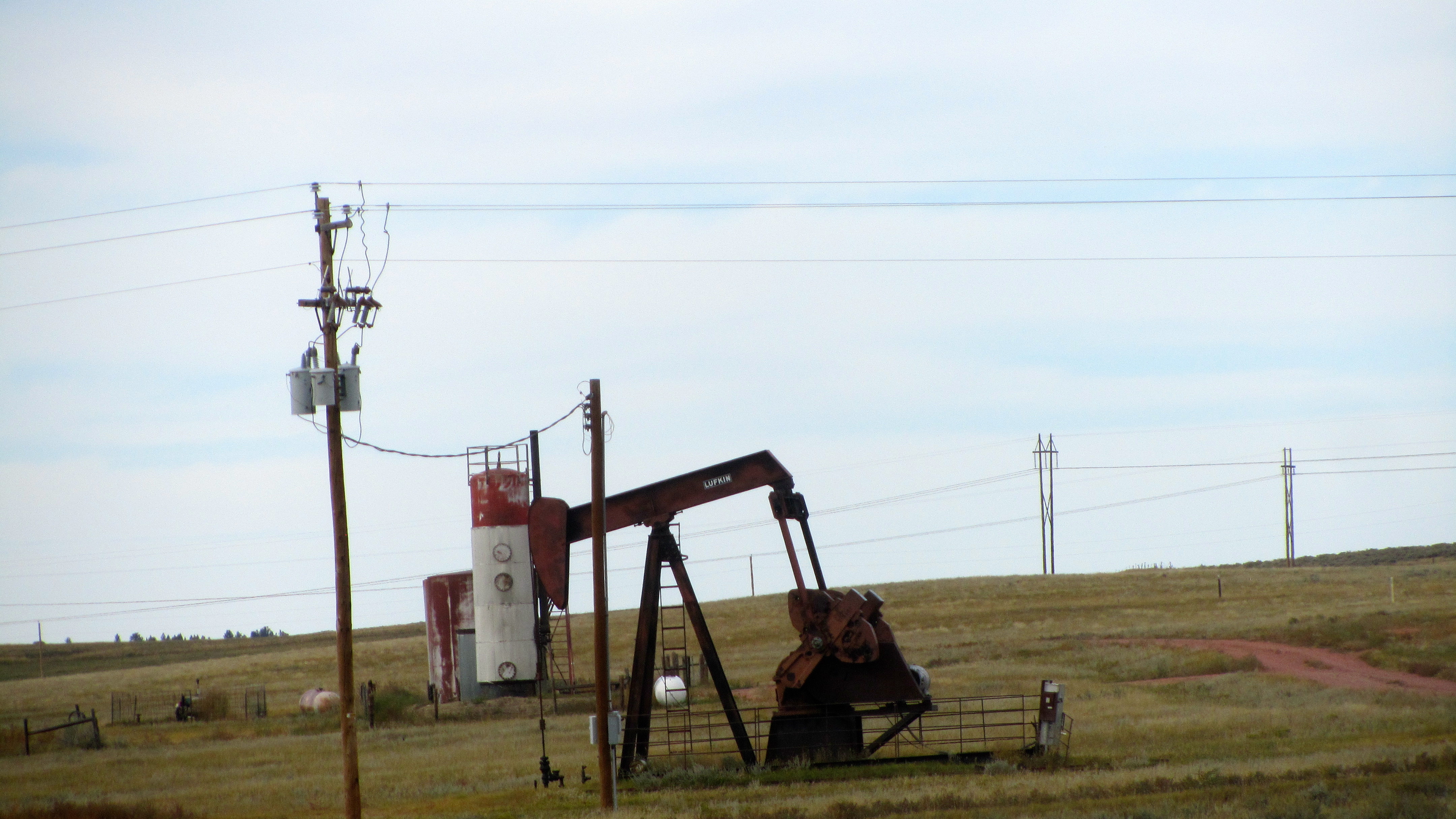
Working oil well
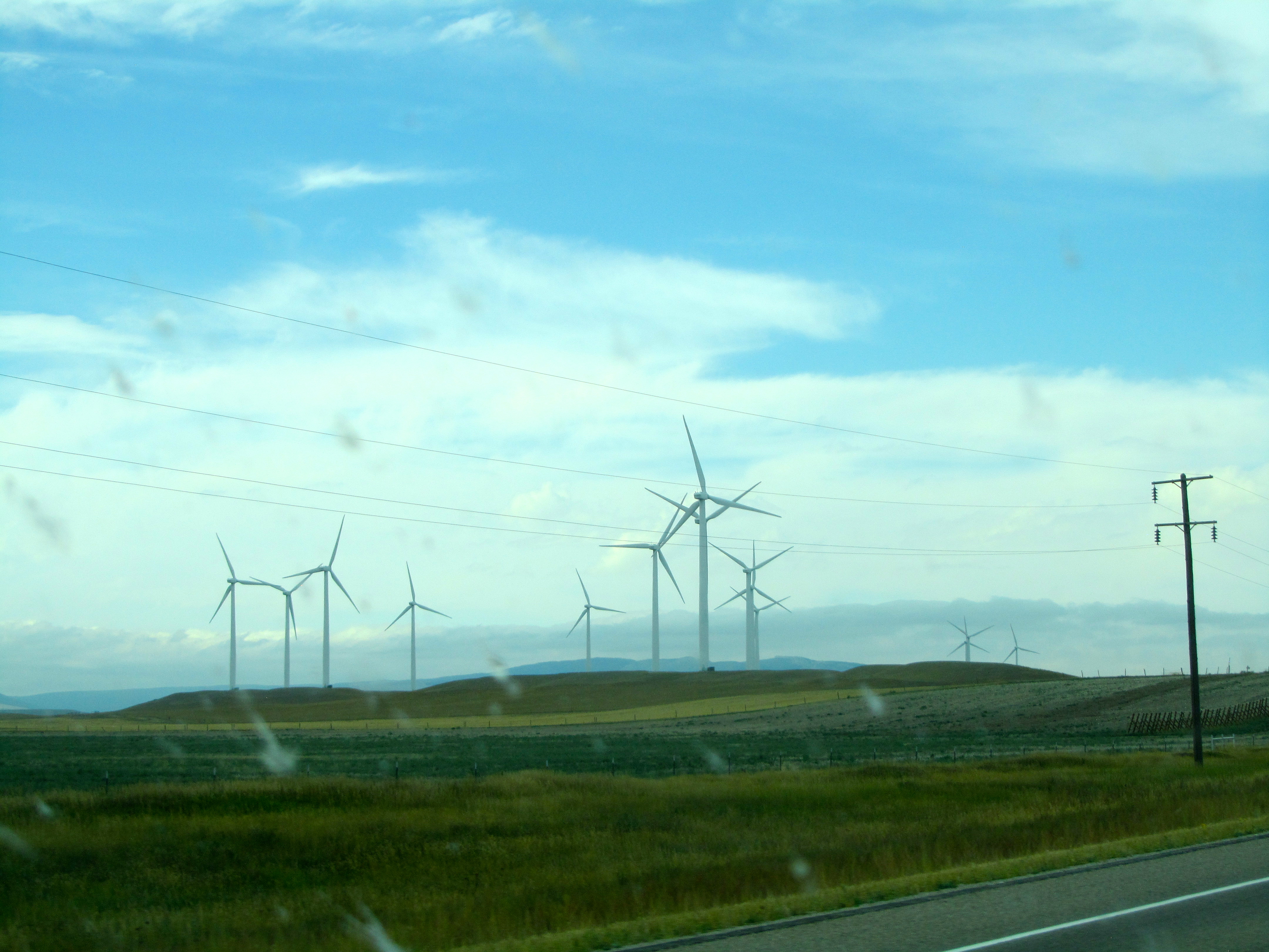
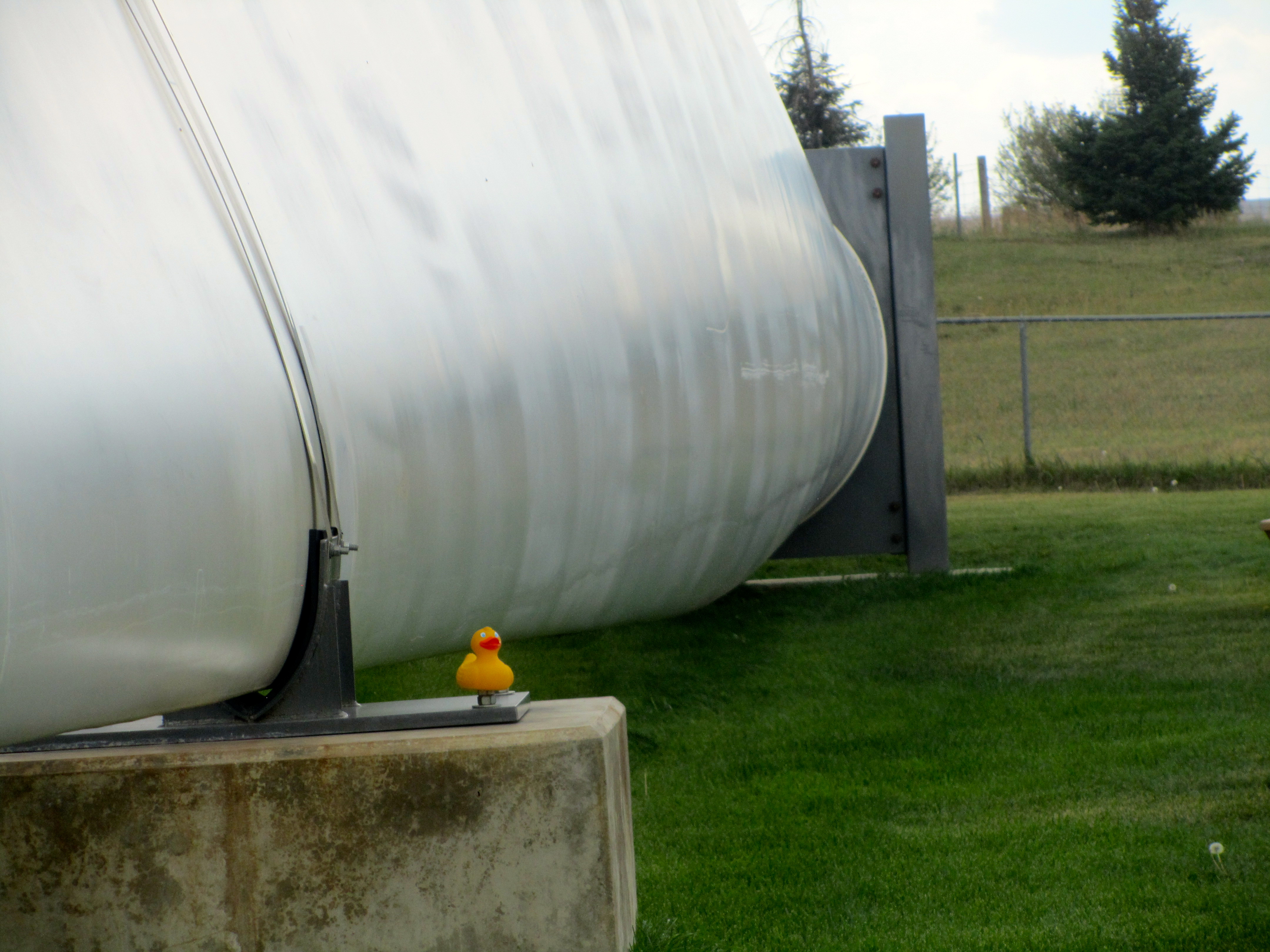
coal mining, wind
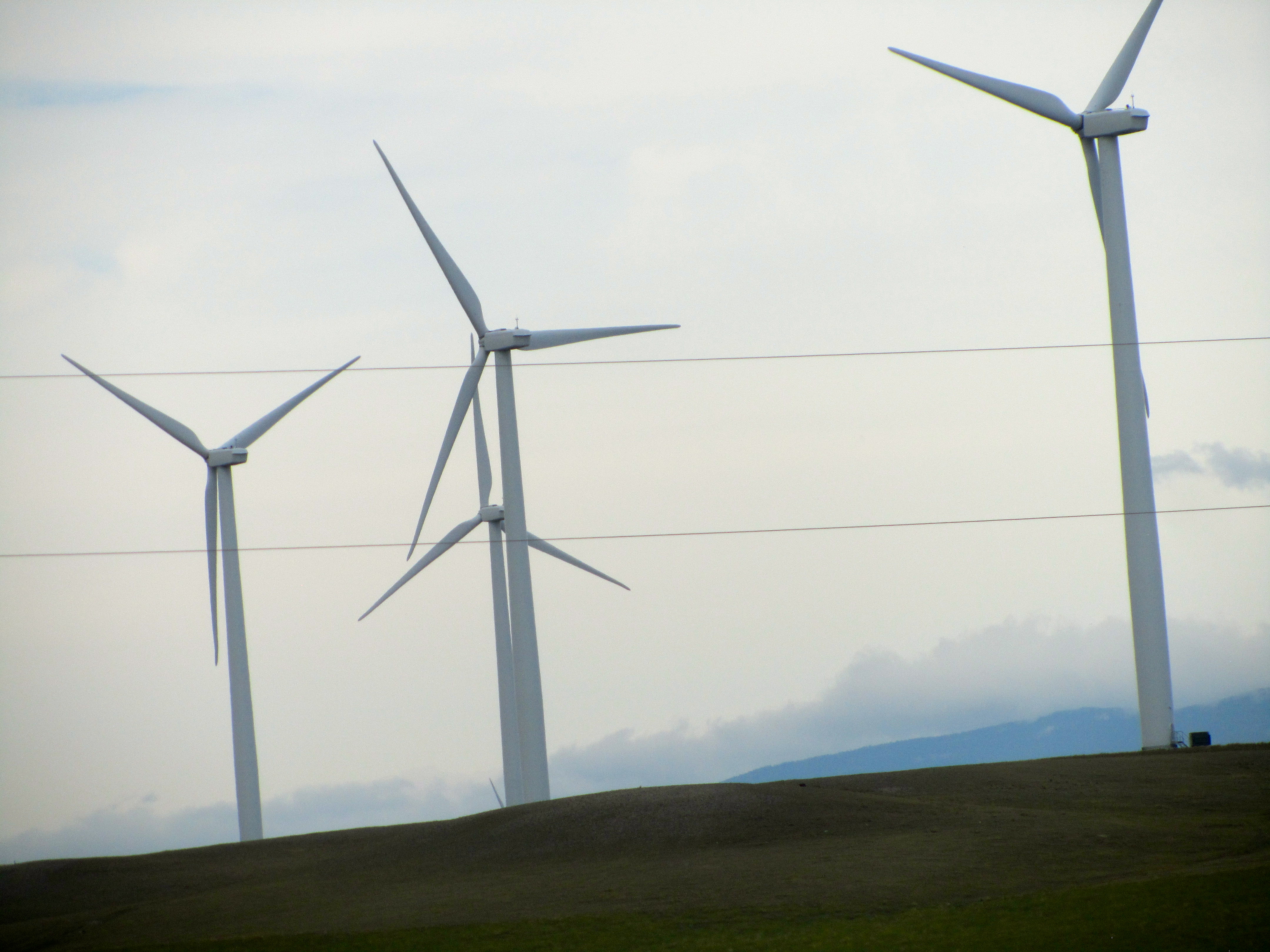
Wind turbines
turbines, hay fields
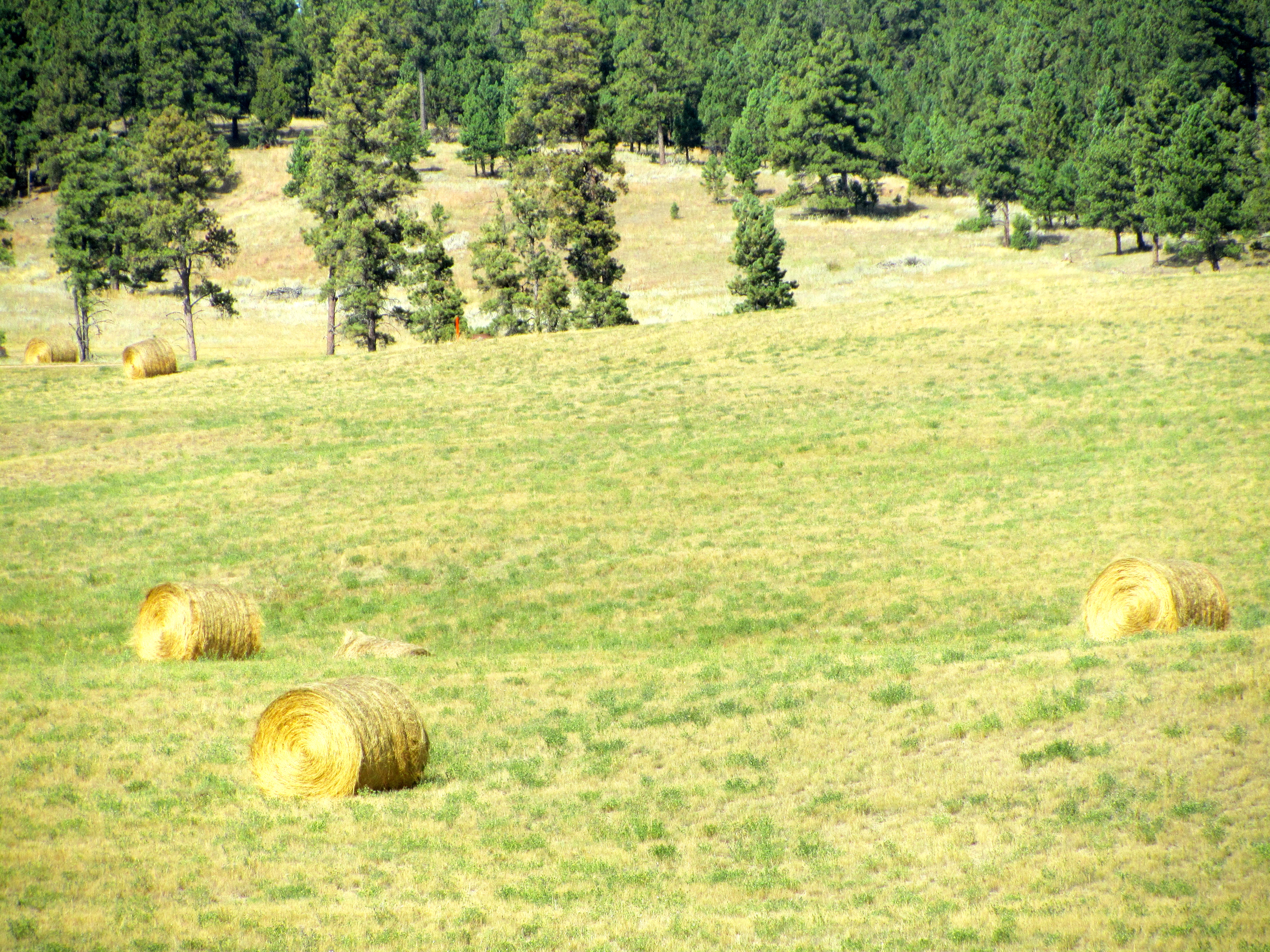
Hay fields
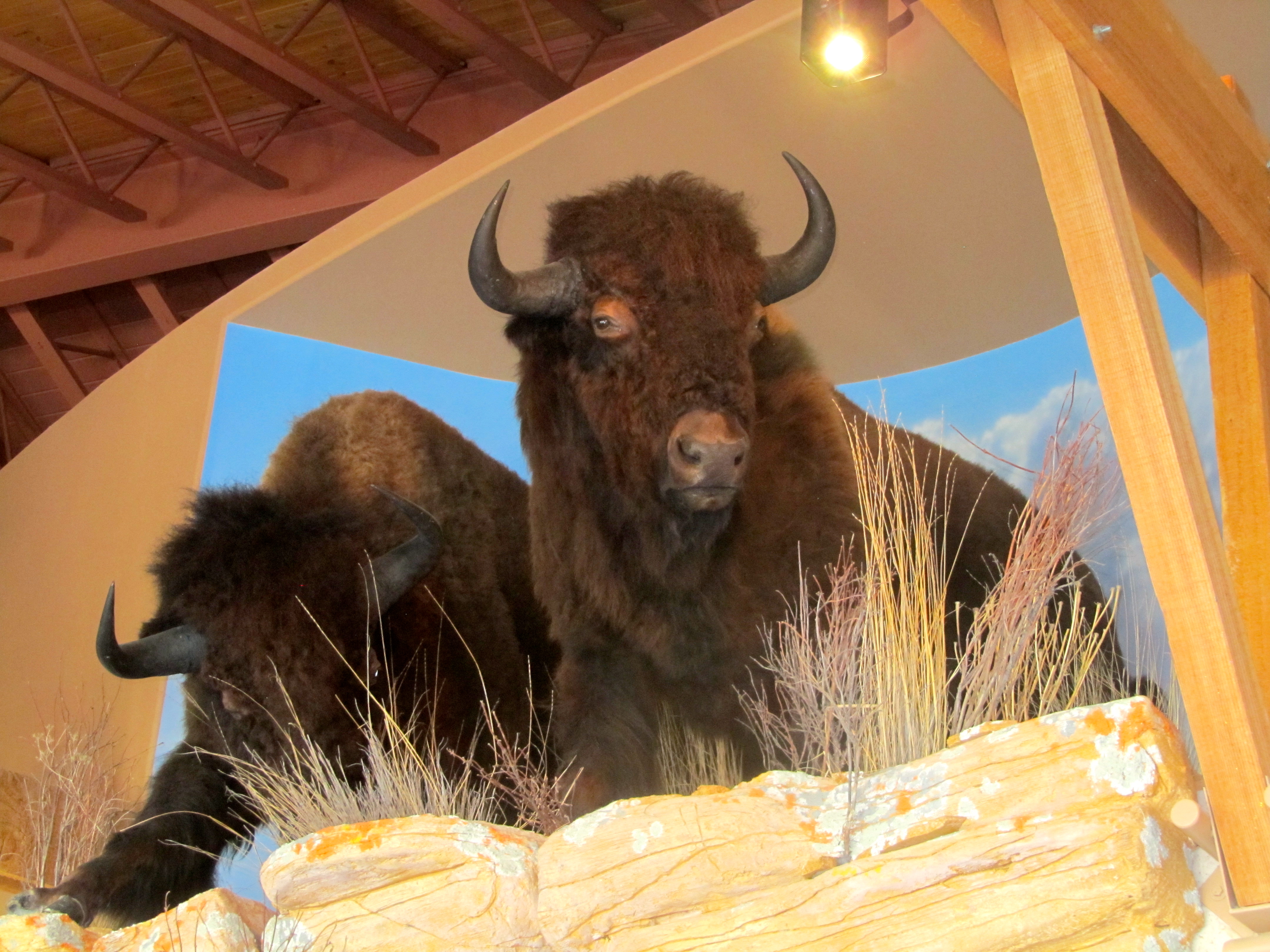
and a herd of buffalo.
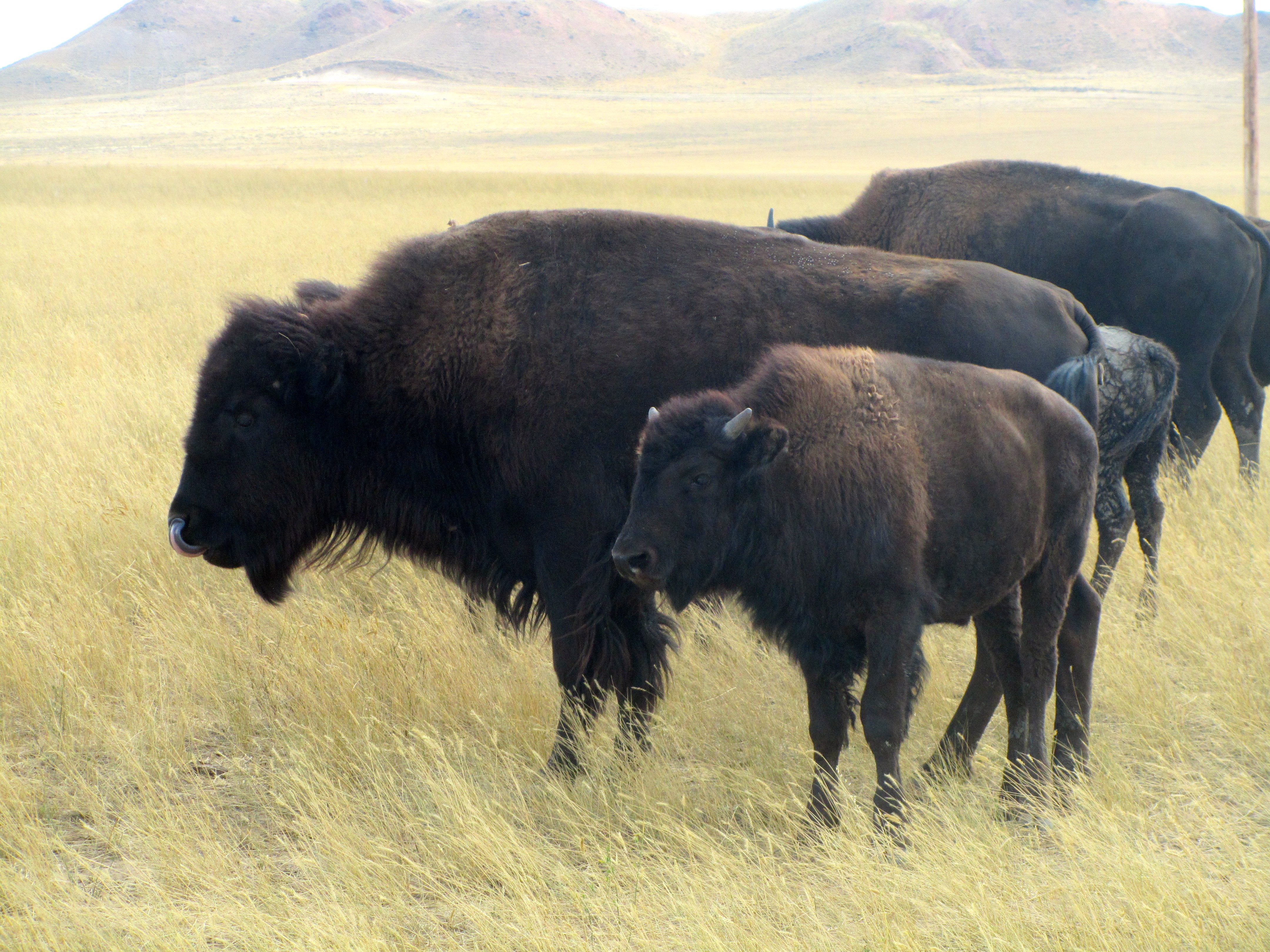
Old and young buffalo in herd
When were near Sheridan, on I-90 we could see the Rocky Mountains.

Beautiful mountains
They look so majestic, just like they do in Colorado. On this trip we did not go to them, but western Wyoming is home to Yellowstone National Park and Grand Teton National Park. I, Zeb, just wanted you to know that Wyoming has a little of everything.
We will return to Wyoming
This state is close to my home near Denver, so I hope mom and I will explore of wonderful Wyoming. Let me know what parts of Wyoming you like best.