
Zeb and Eider, with the humans, visited the Bay of Fire. This is near St.Helens in northeast Tasmania. And there are so many rocks!
So many bright rocks
The Bay of Fires extends along the coast from Binalong Bay in the south to Eddystone Point in the north. The sand is so soft and white.
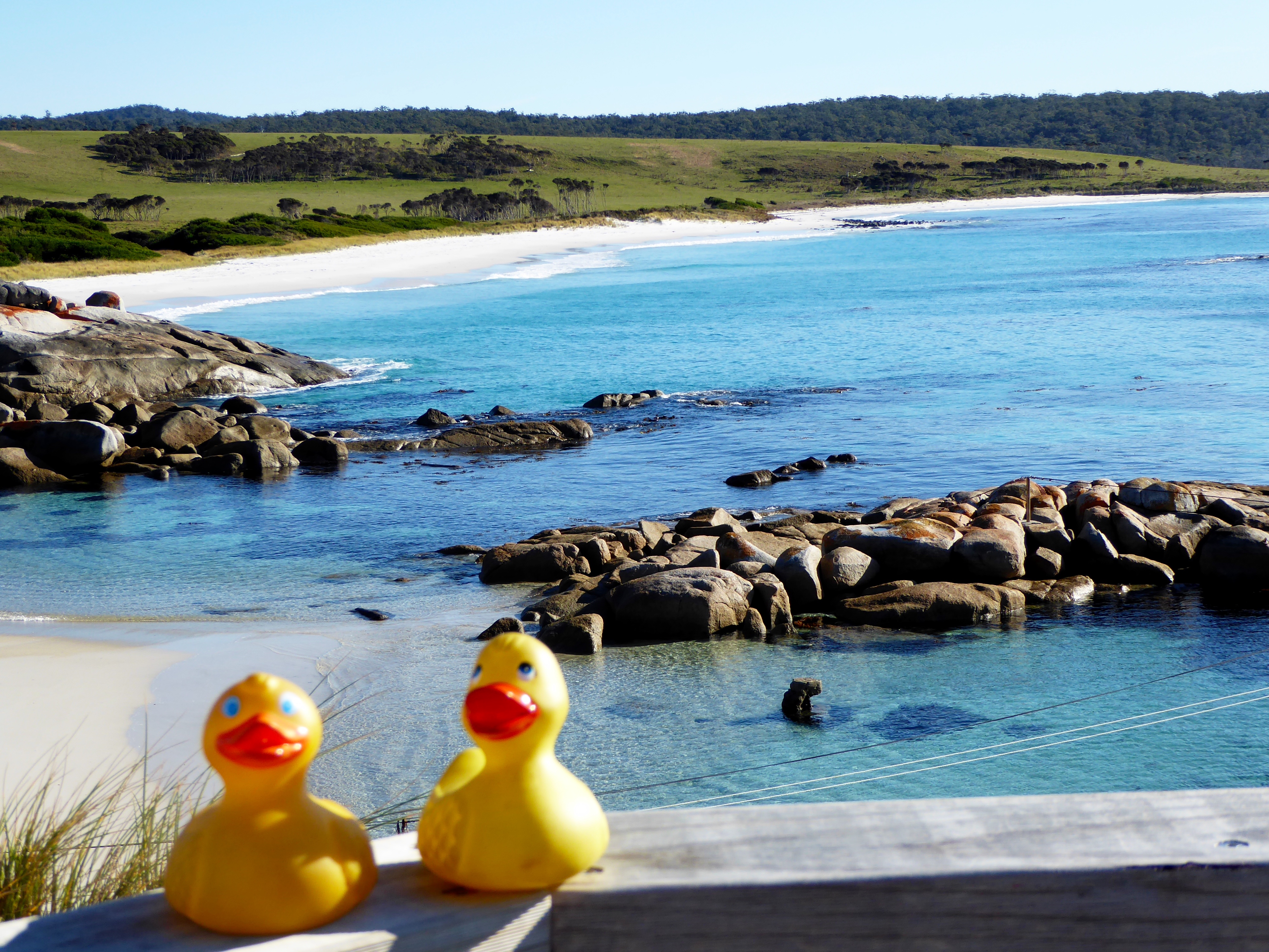
Soft white sand and clear blue water. Perfect!
If it were not winter and cool, we would be lounging on that perfect sand and testing the clear (probably cold) water. The white sand is derived from the granite bedrock that is predominant in North East Tasmania. The soft white sand is because of the high quartz content of the granite boulder. First we visited a lookout platform and then walked to the rocks.
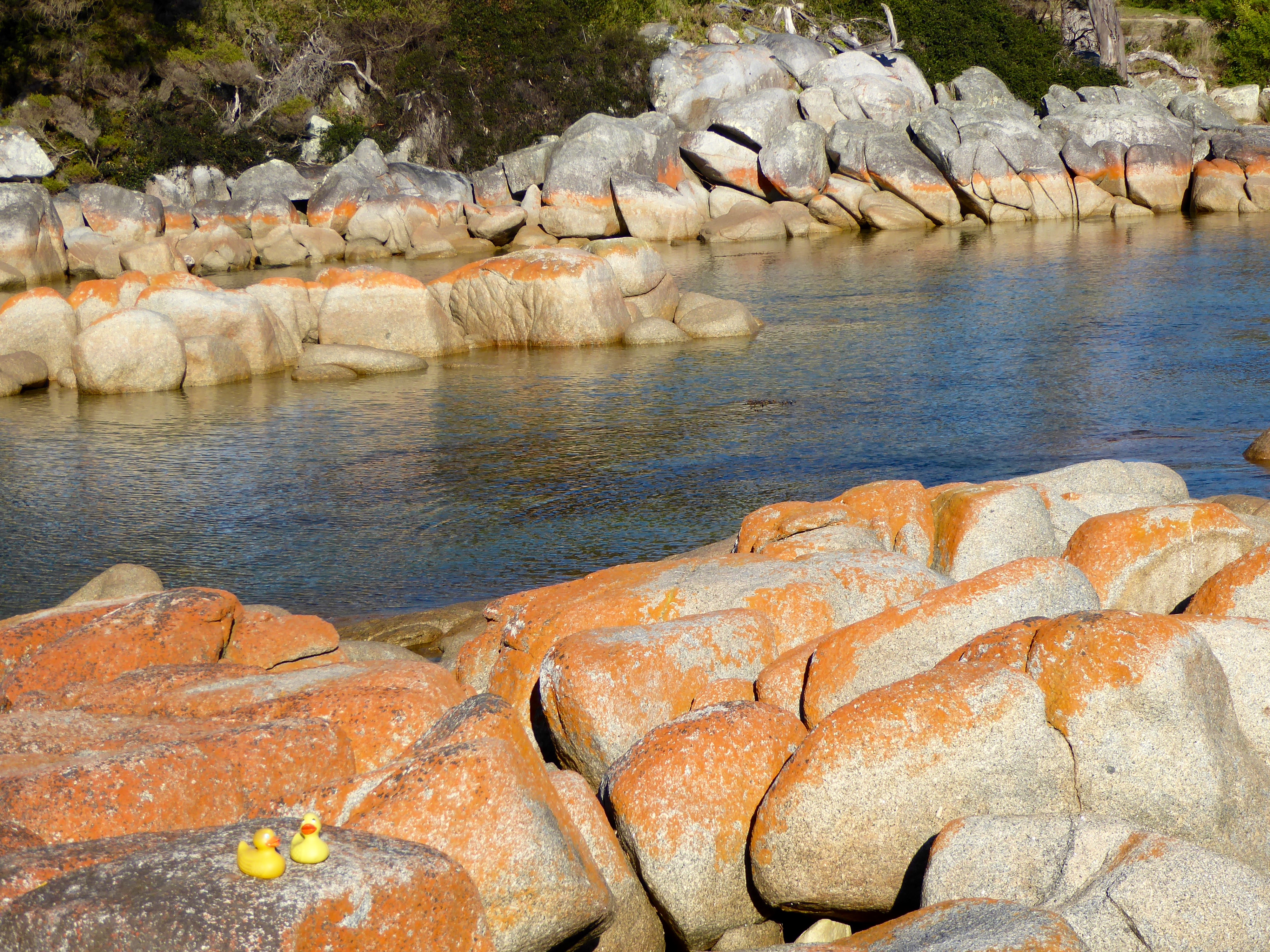
We were walking on these rocks
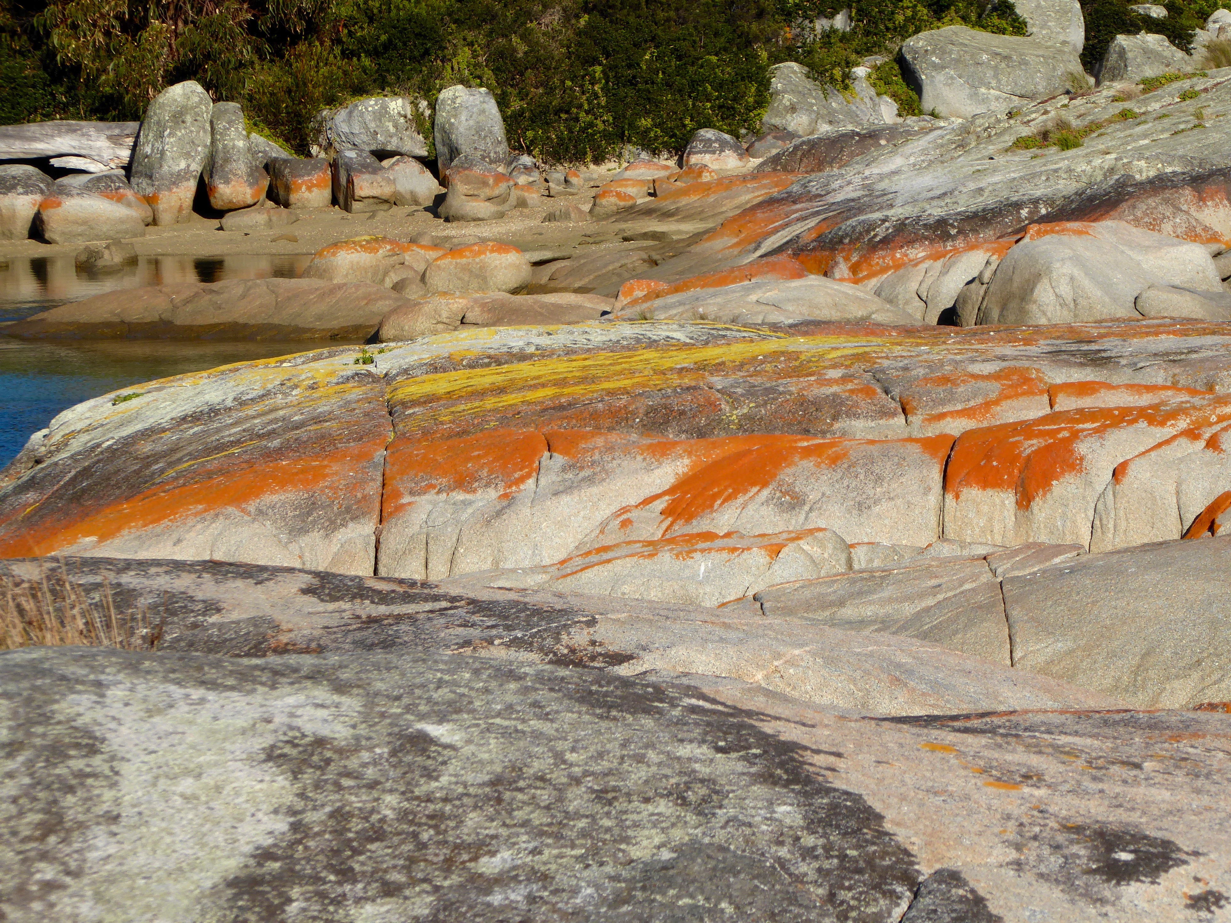
Then we drove to the The Gardens in the Bay of Fires Conservation Area. Isn’t this beautiful? Notice the lichen growing on the granite boulders lining the bay.
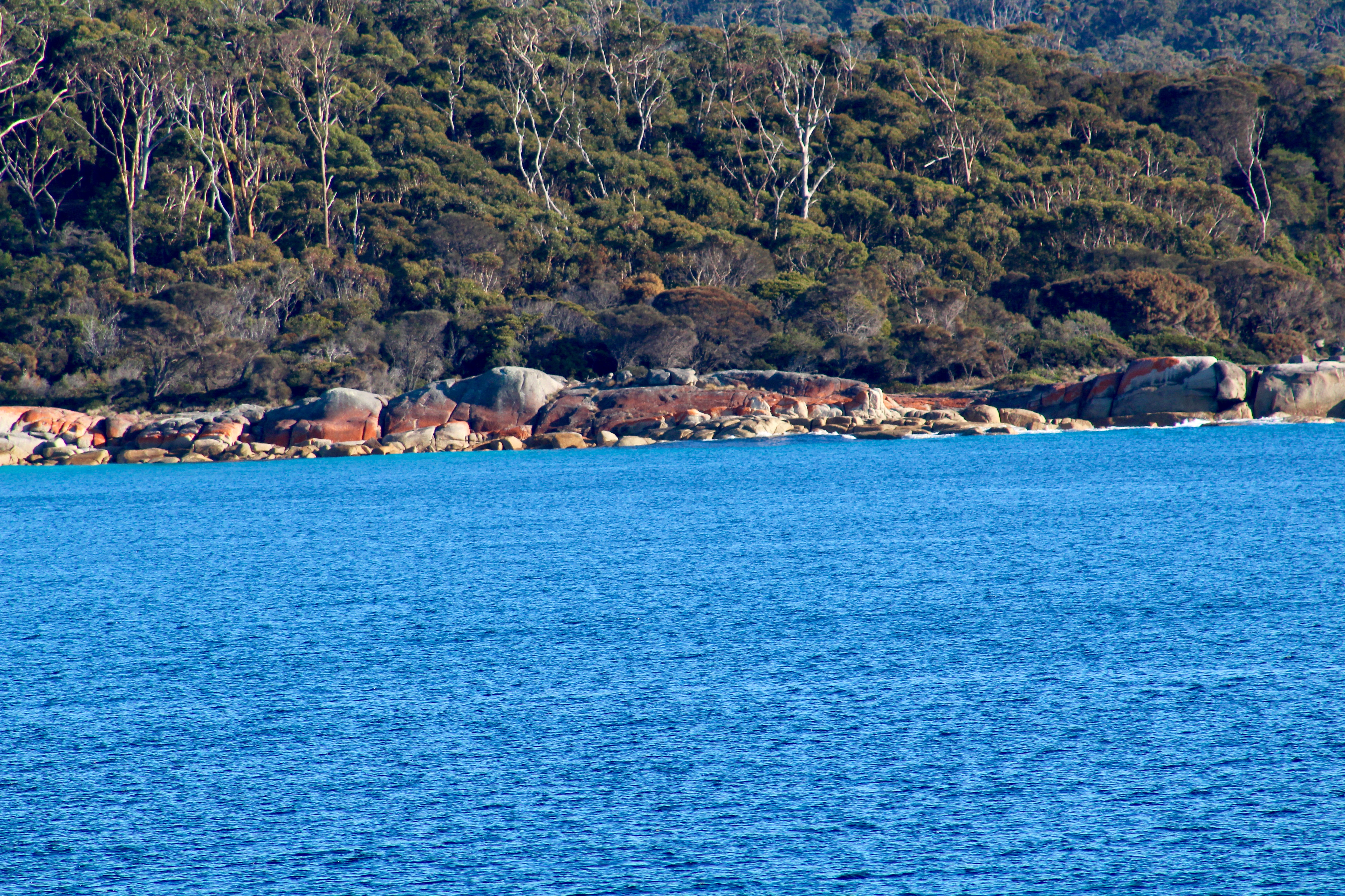
Bright blue water and orange rocks lining the bay
The bright orange is beautiful. Hundreds of years ago the native aboriginal people burned this area of the island. These Aboriginal fires were spotted by Captain Tobias Furneaux when he sailed past in 1773, so this area became known as the Bay of Fires. The repeated burning kept the vegetation low, giving the animals fresh young plants to eat. The low vegetation also made hunting easier for the aboriginal. The fires could be seen from far away, giving this area the name, Bay of Fire. While the Bay of Fires is beautiful and serene, it does have a darker side.

Sitting in soft white sand, near orange boulders and blue water.
The coast is littered with shipwrecks. A few being the schooner Mary Ann in 1850, the brig Dart in 1865, the barque Queen of the Sea in 1877 and the fishing boat Vagabond in 1950. These unusual trees caught our attention.

Unusual trees
There were many Australian Black Swans in this area.
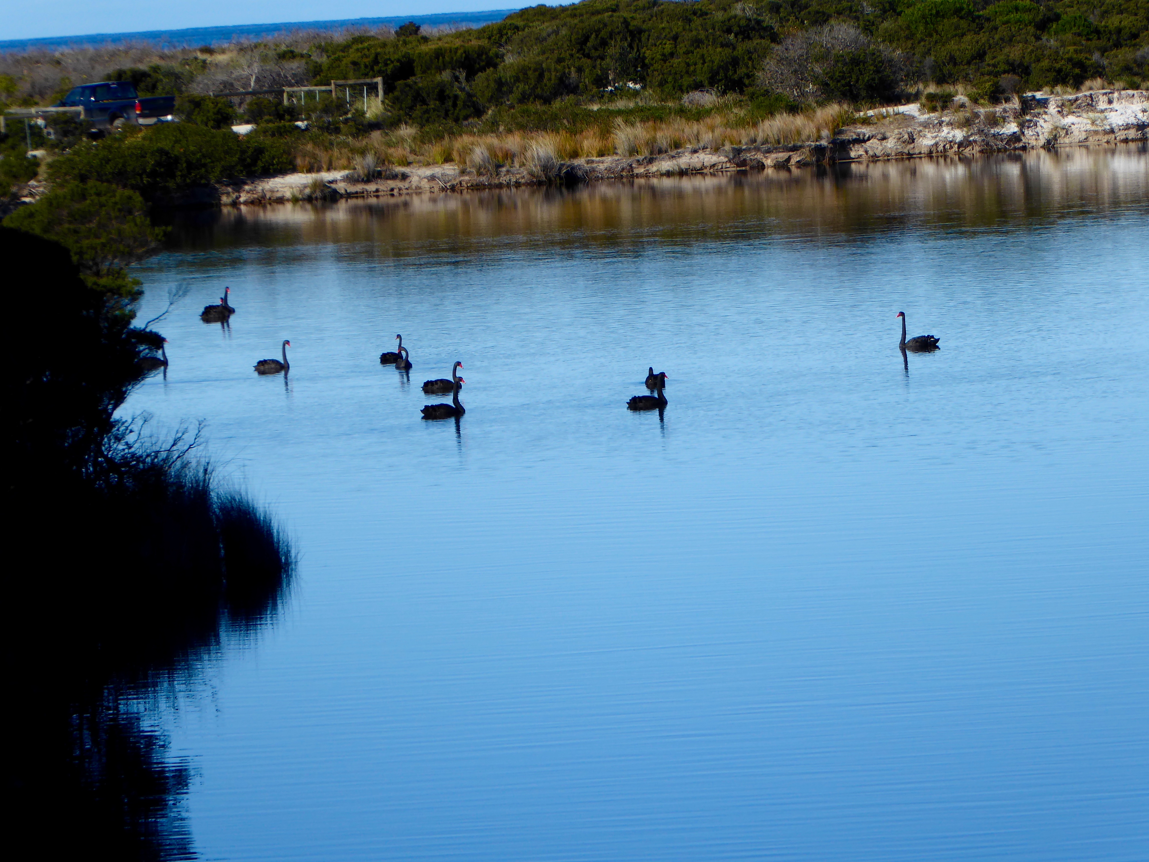
Several beautiful black swans
These gorgeous black swans have bright red beaks.
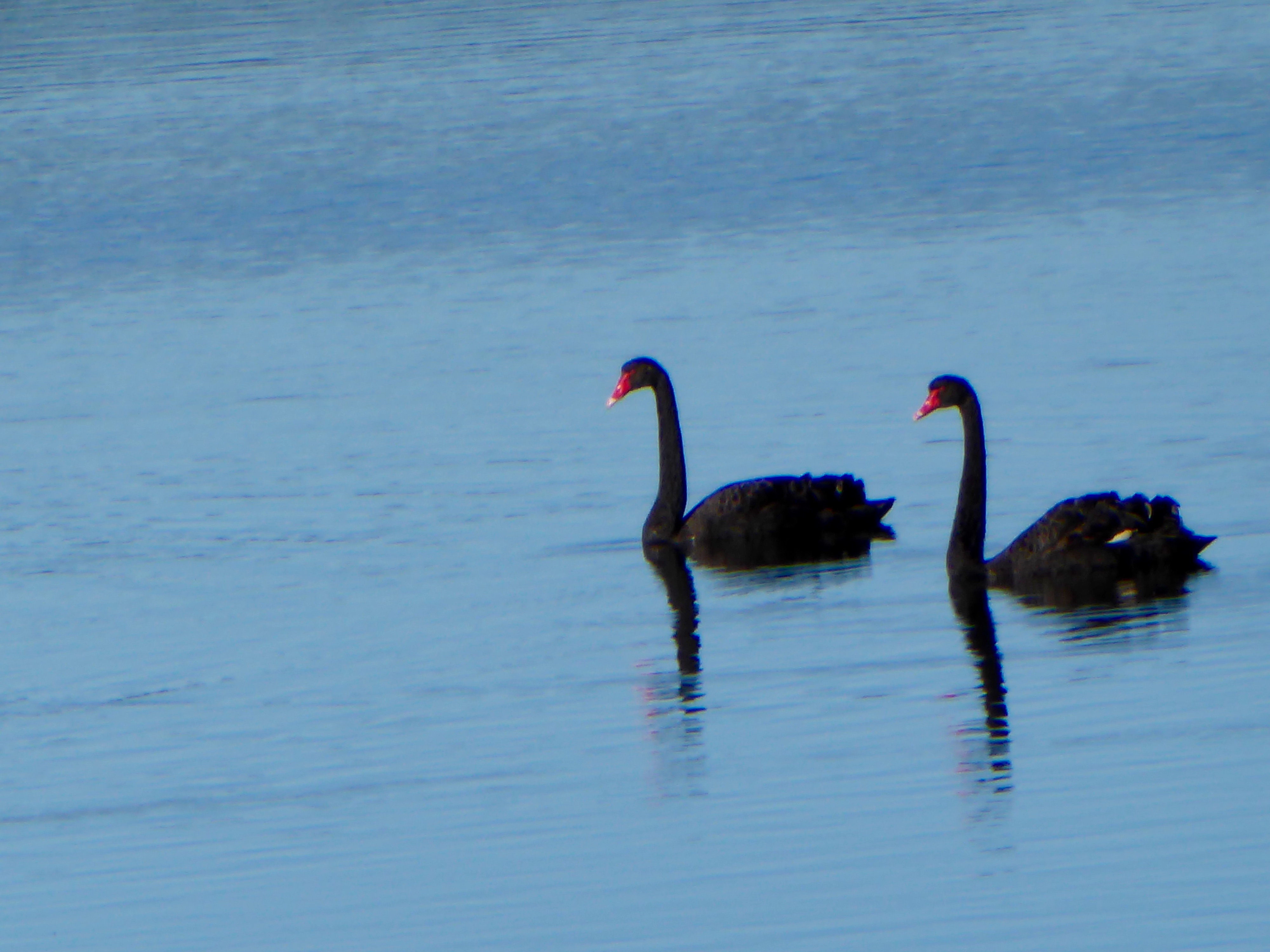
Love the bright red beaks
So beautiful. We were told that black swans are native only south of the equator. Driving about 30 kilometers west, we visited St. Columba Falls, at Pyengana, Tasmania.
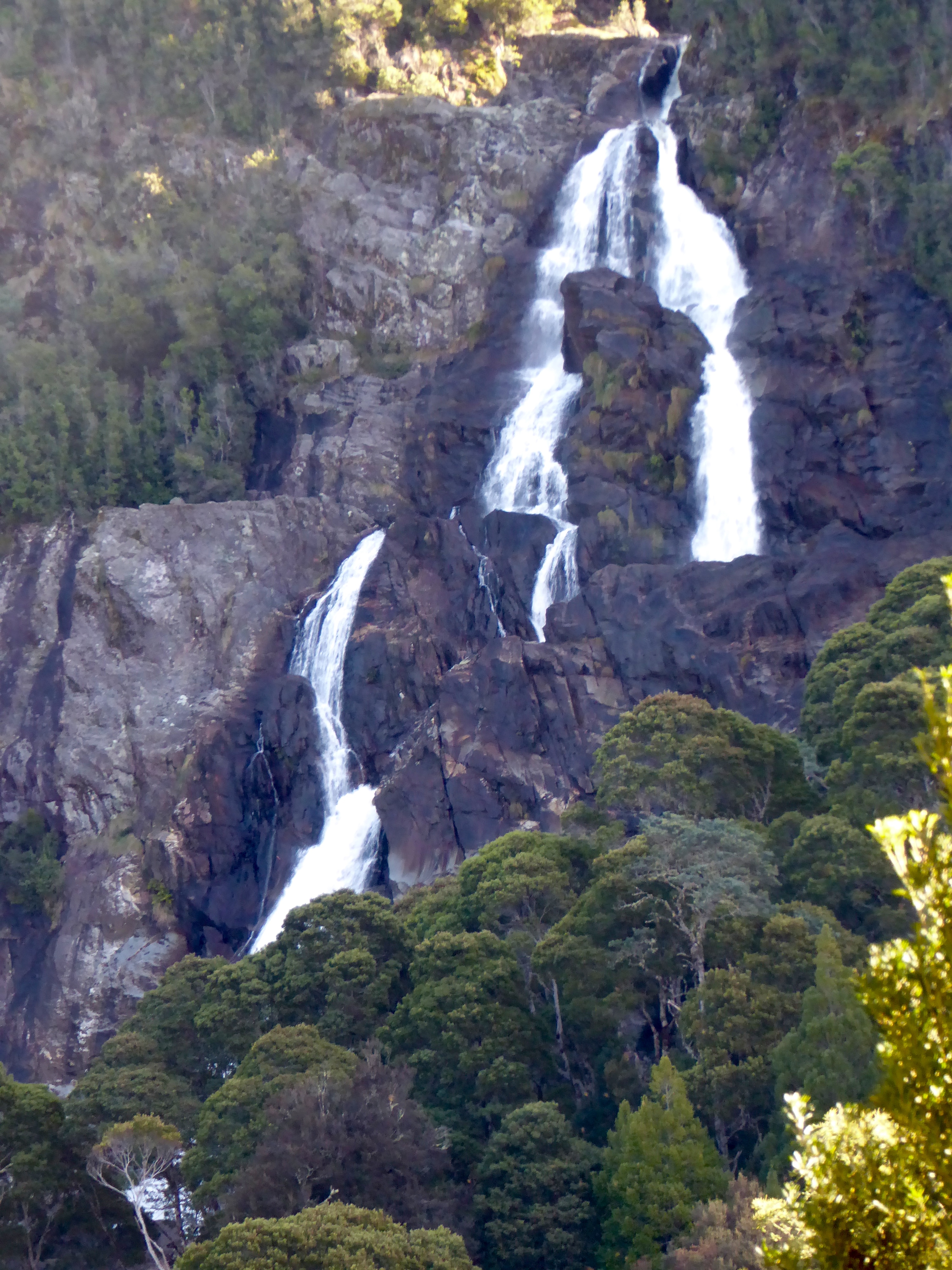
St Columba Falls
The falls are located in a rain forest.
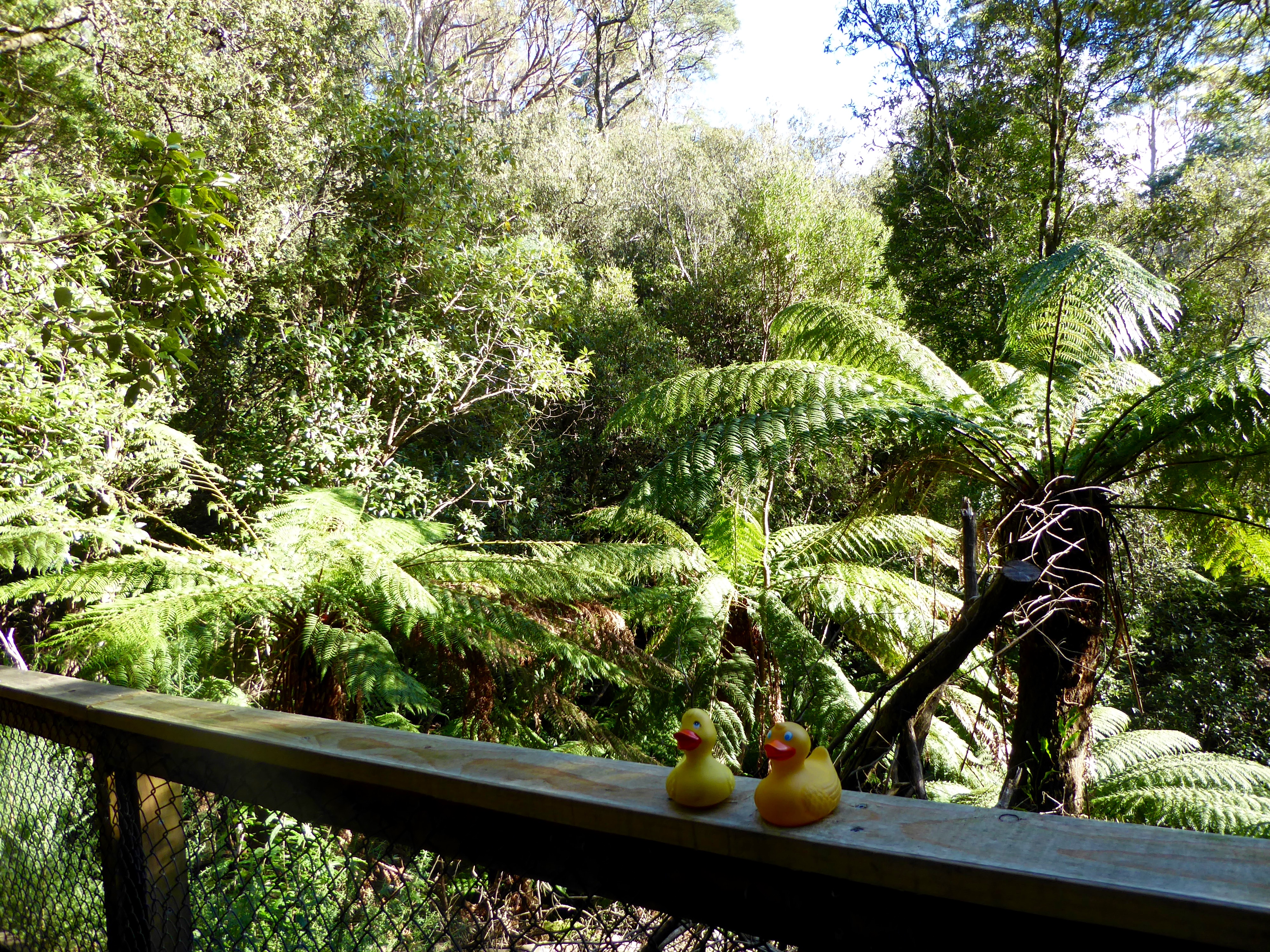
We are in a rain forest
This is the path to the bottom of the falls.
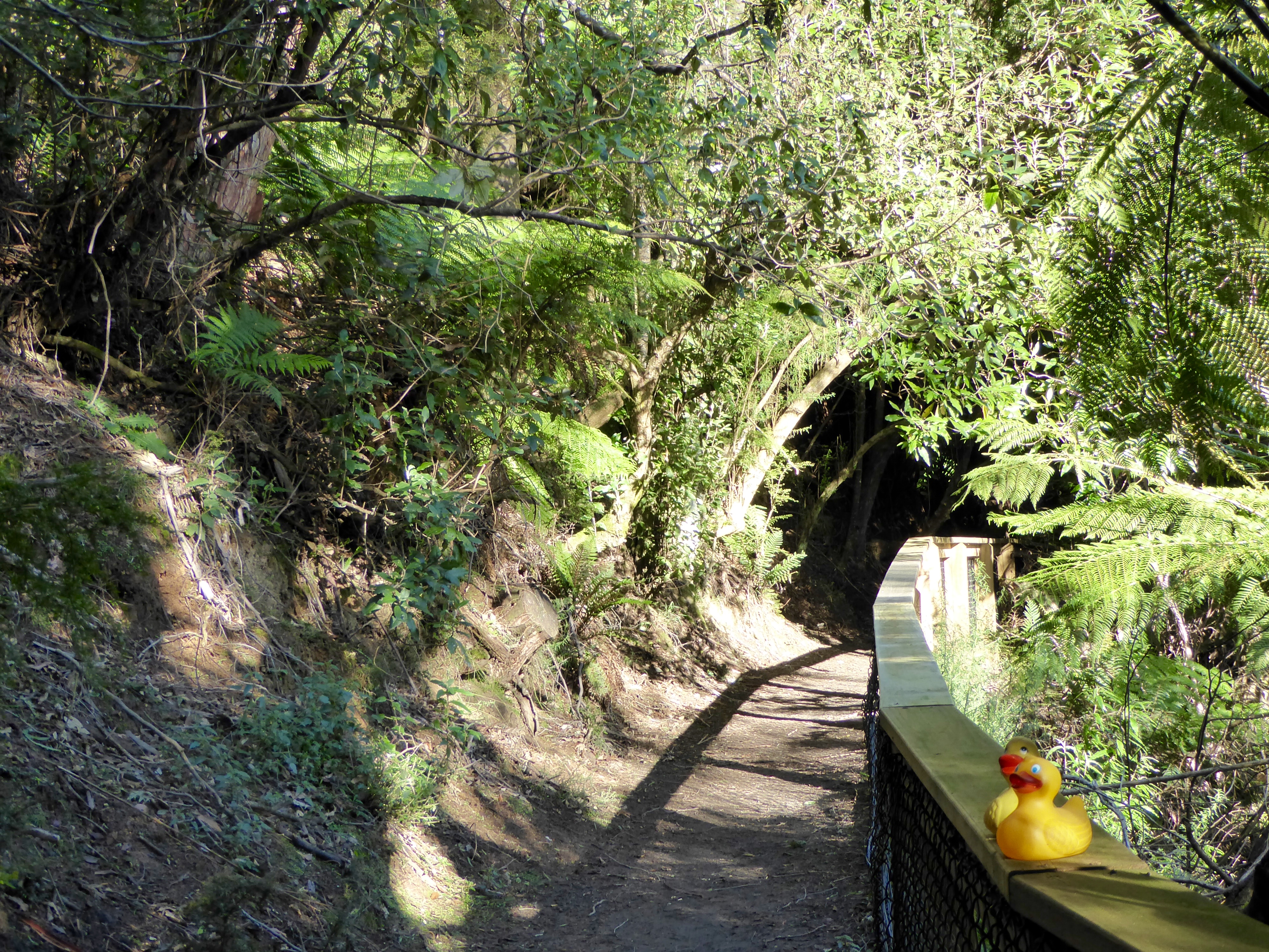
Path to bottom of falls
St. Columba Falls are said to be the tallest falls in Tasmania,with a drop of over 90 meters.
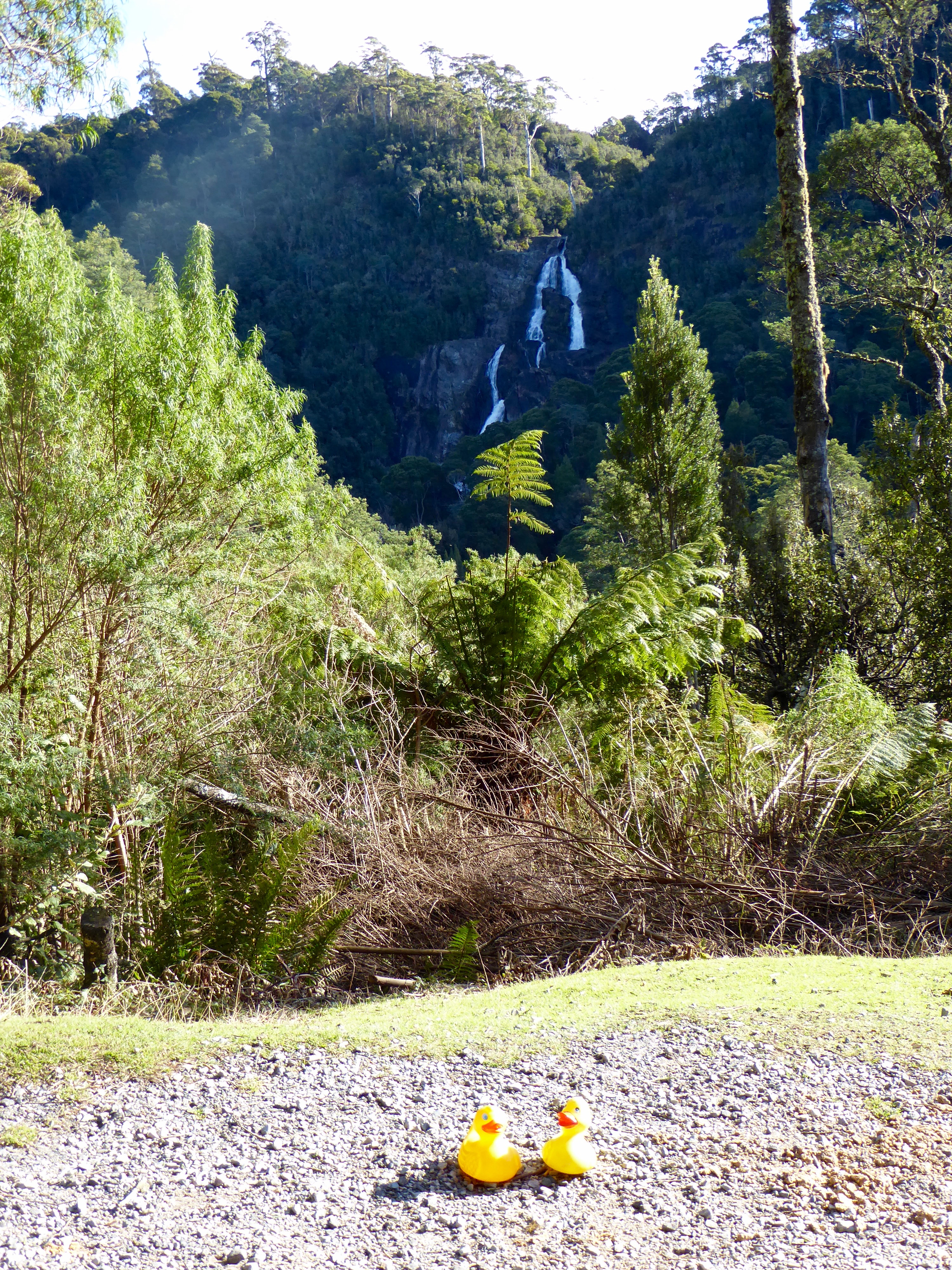
We can hear the waterfalls
