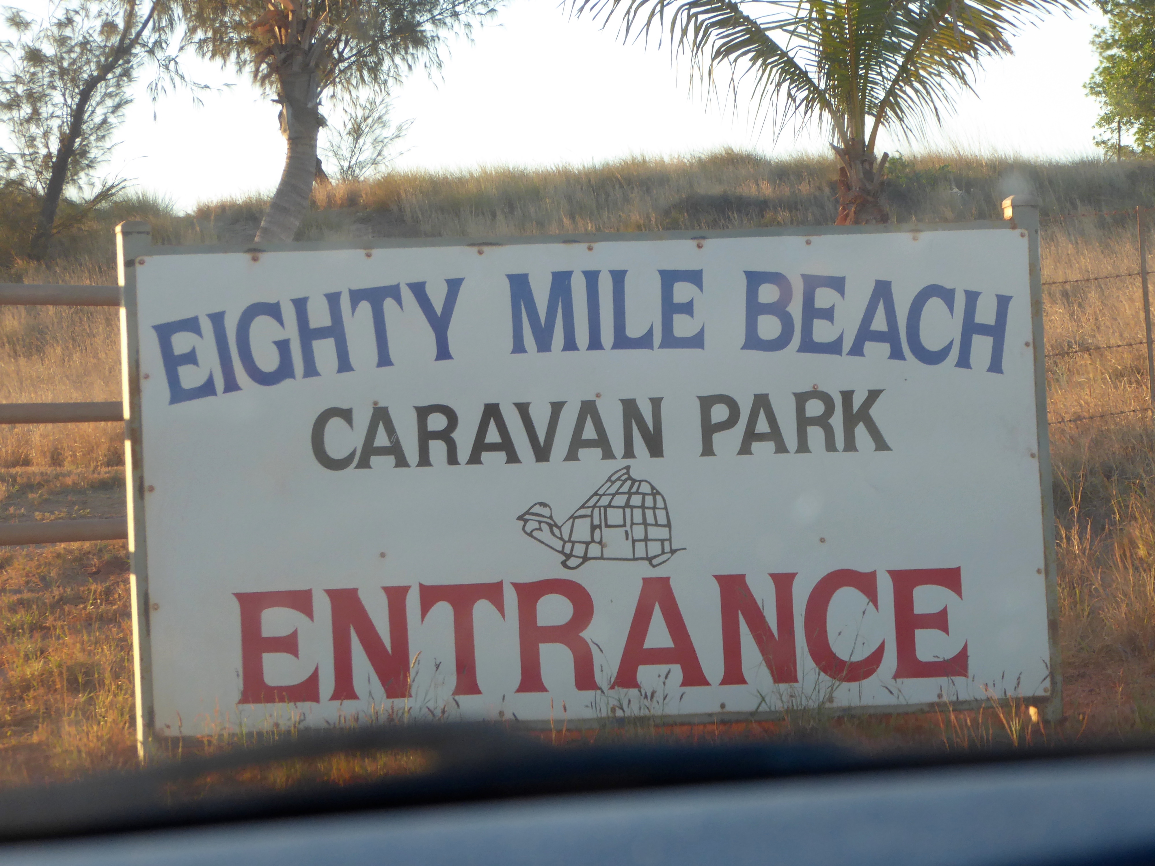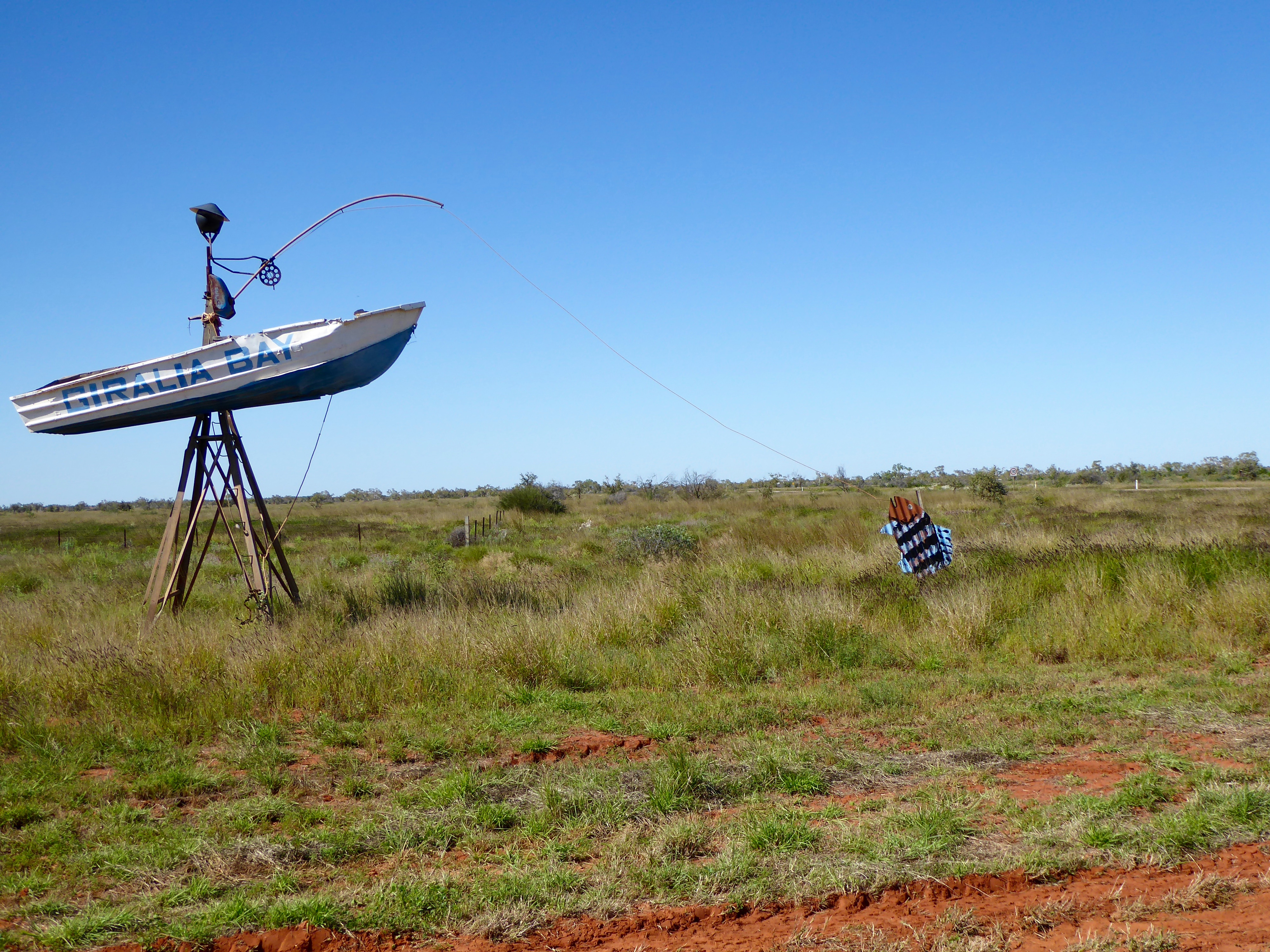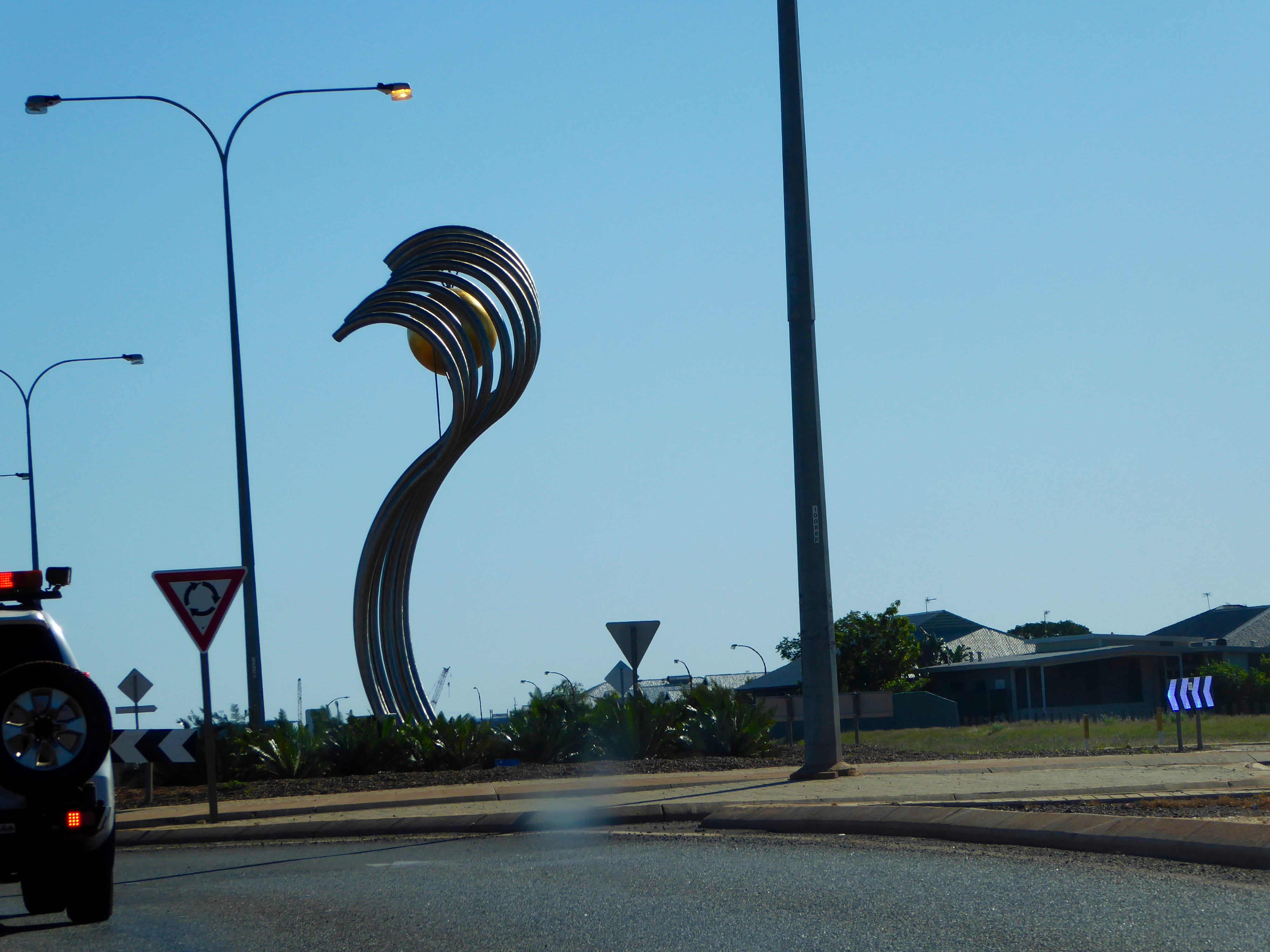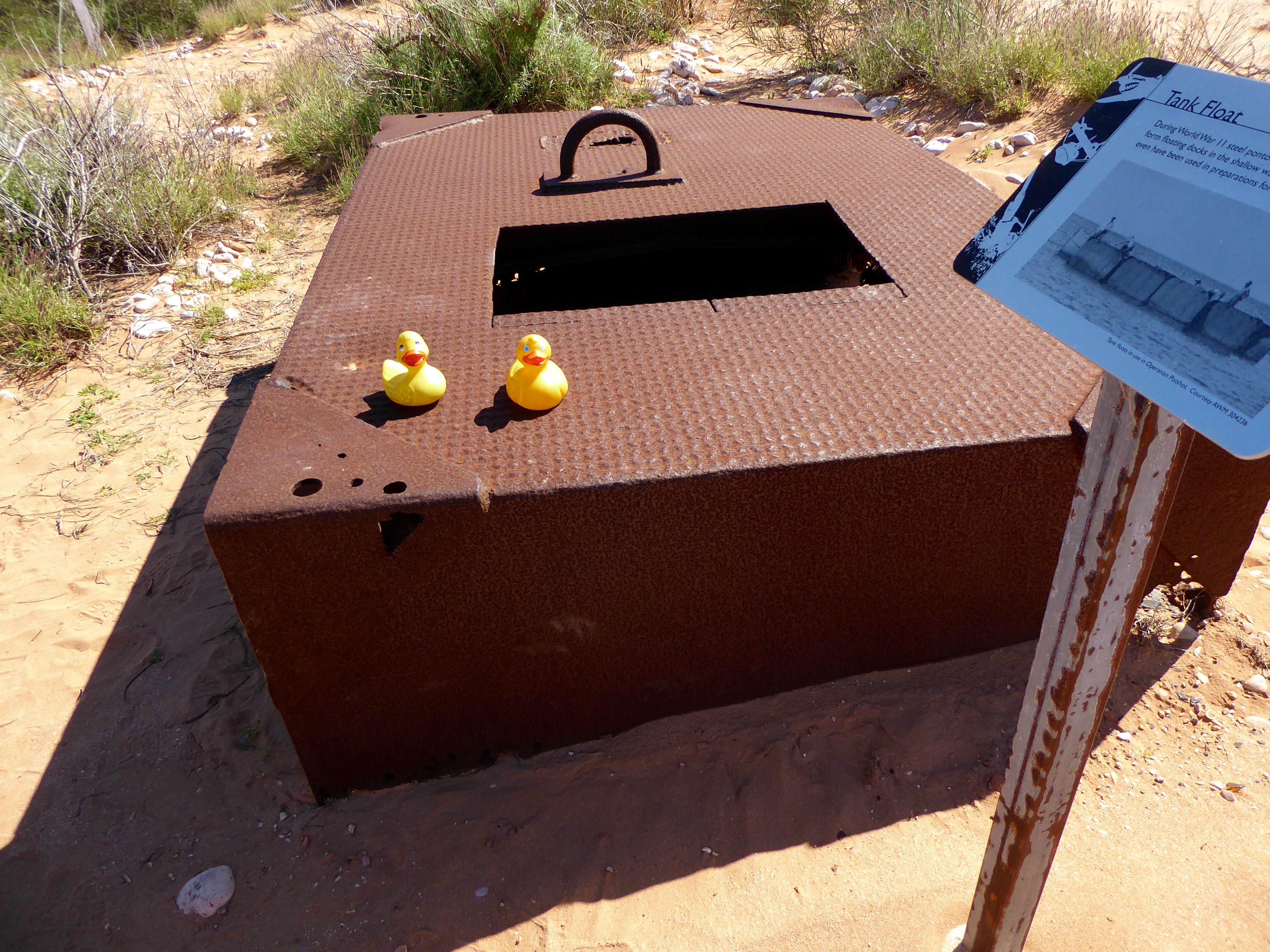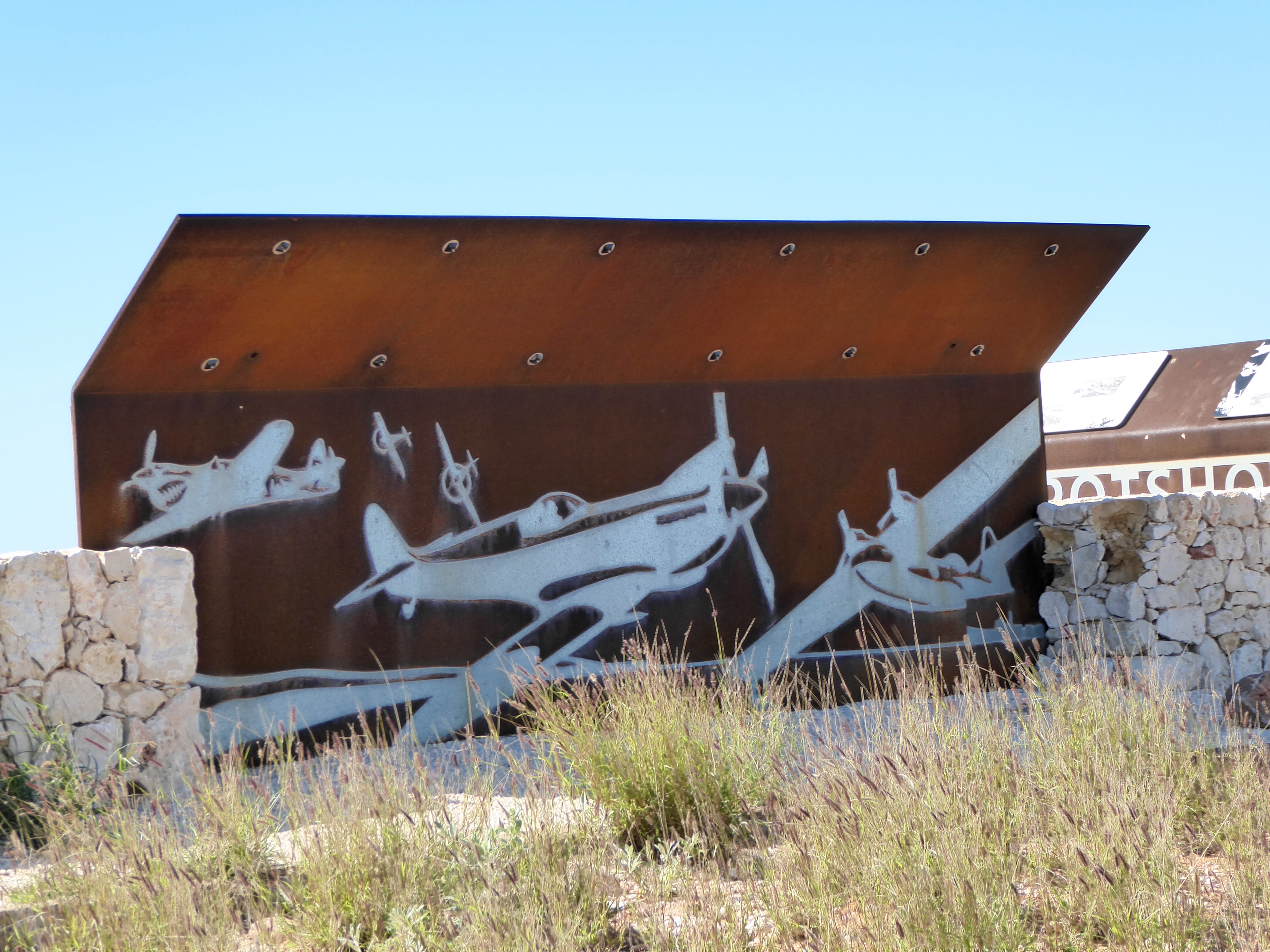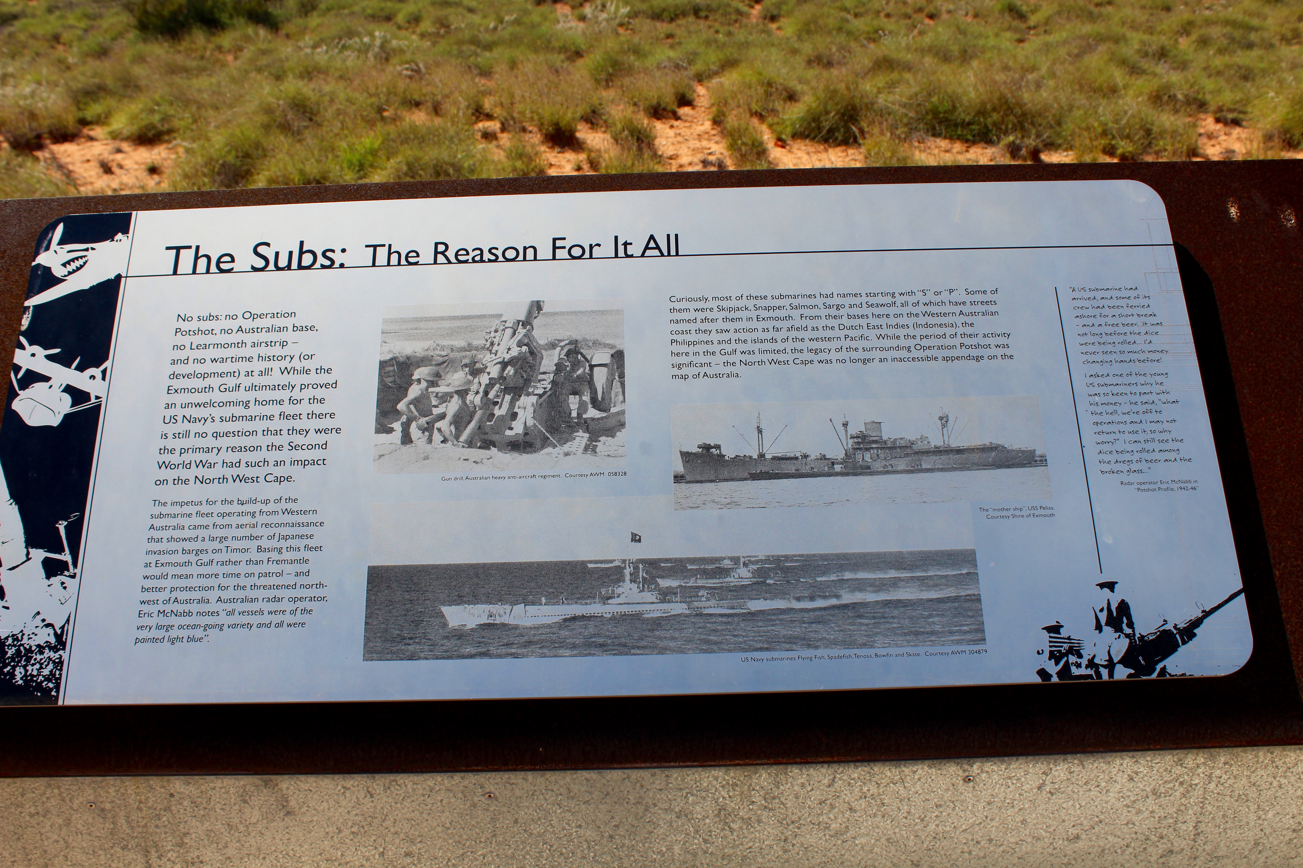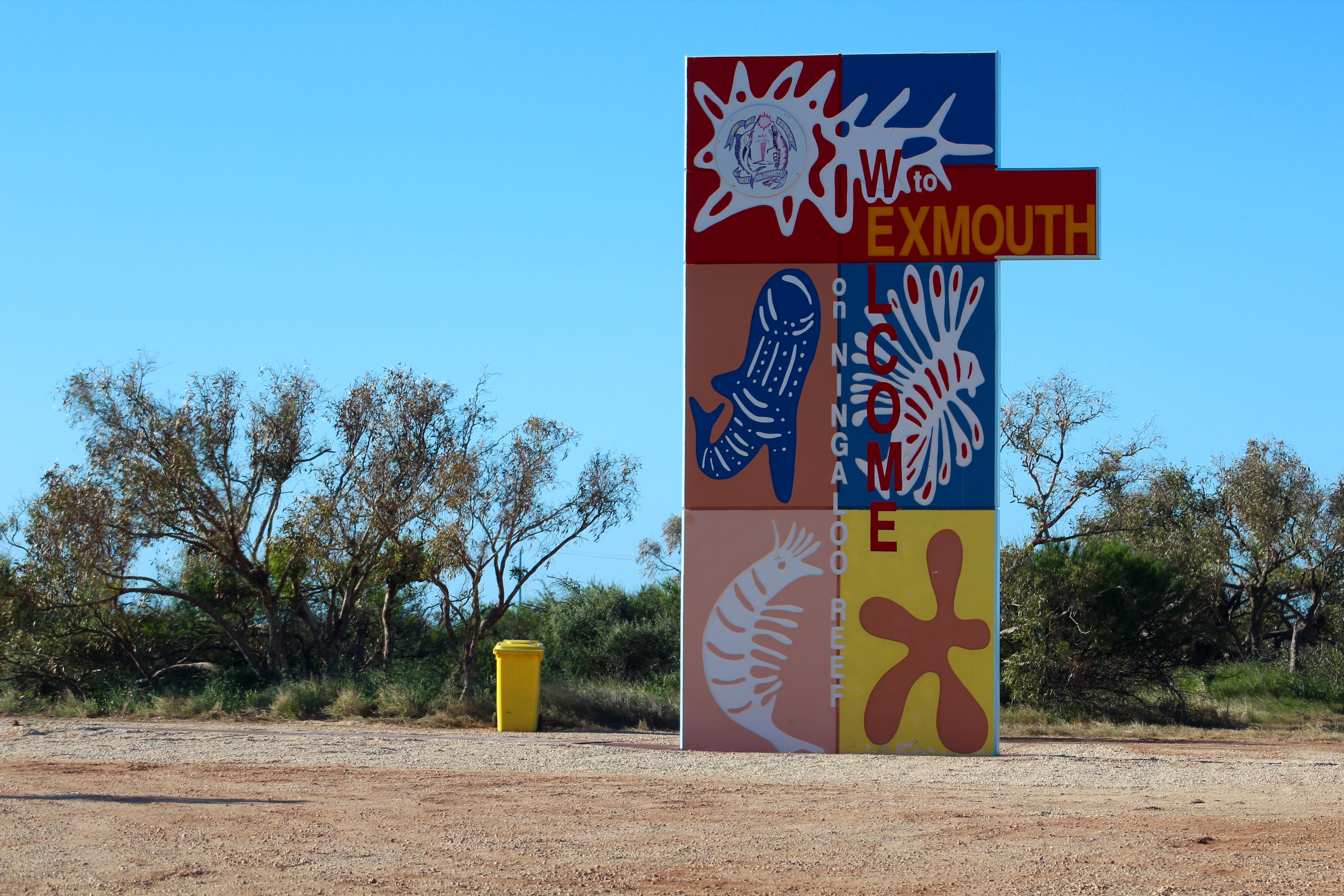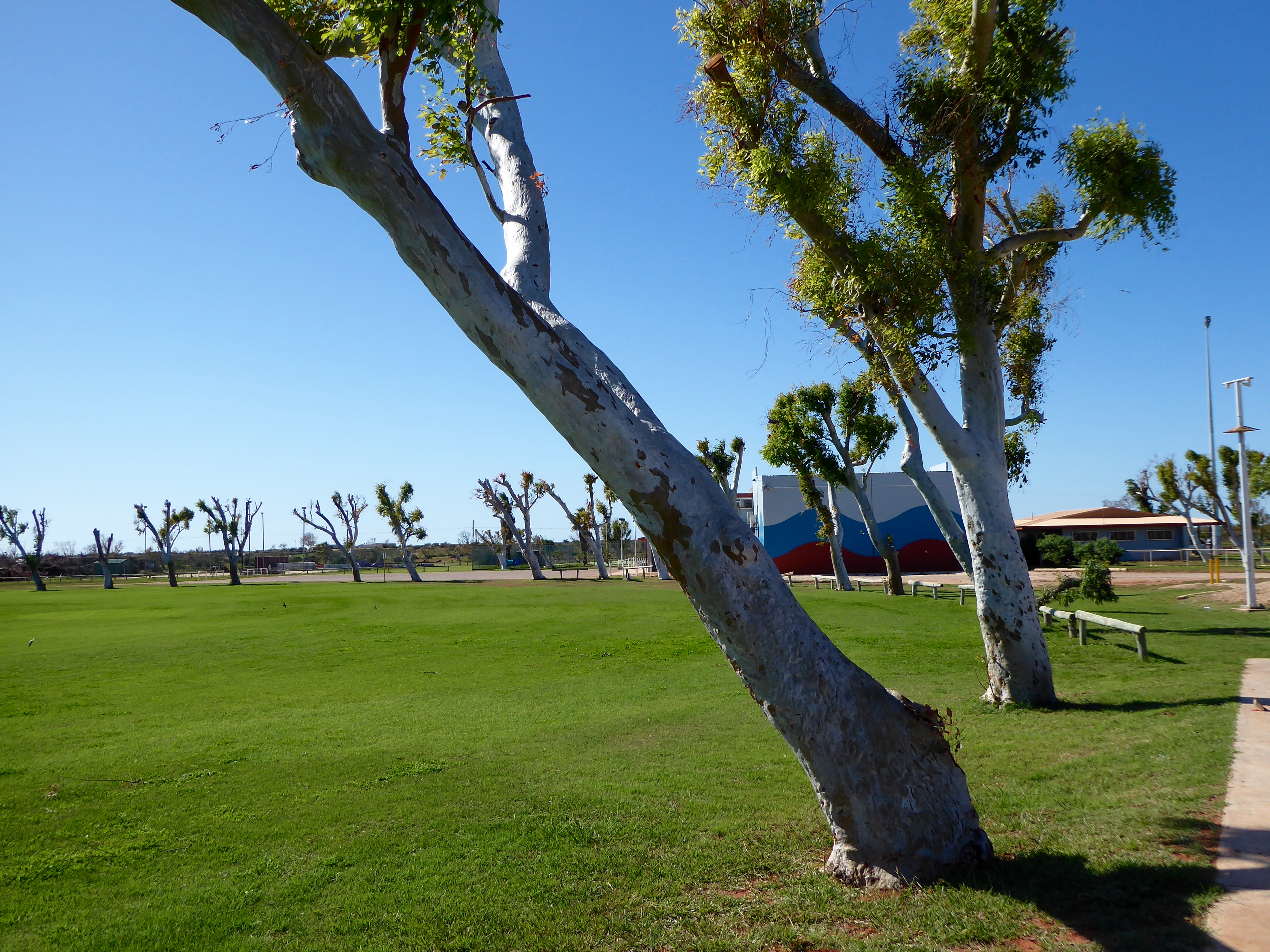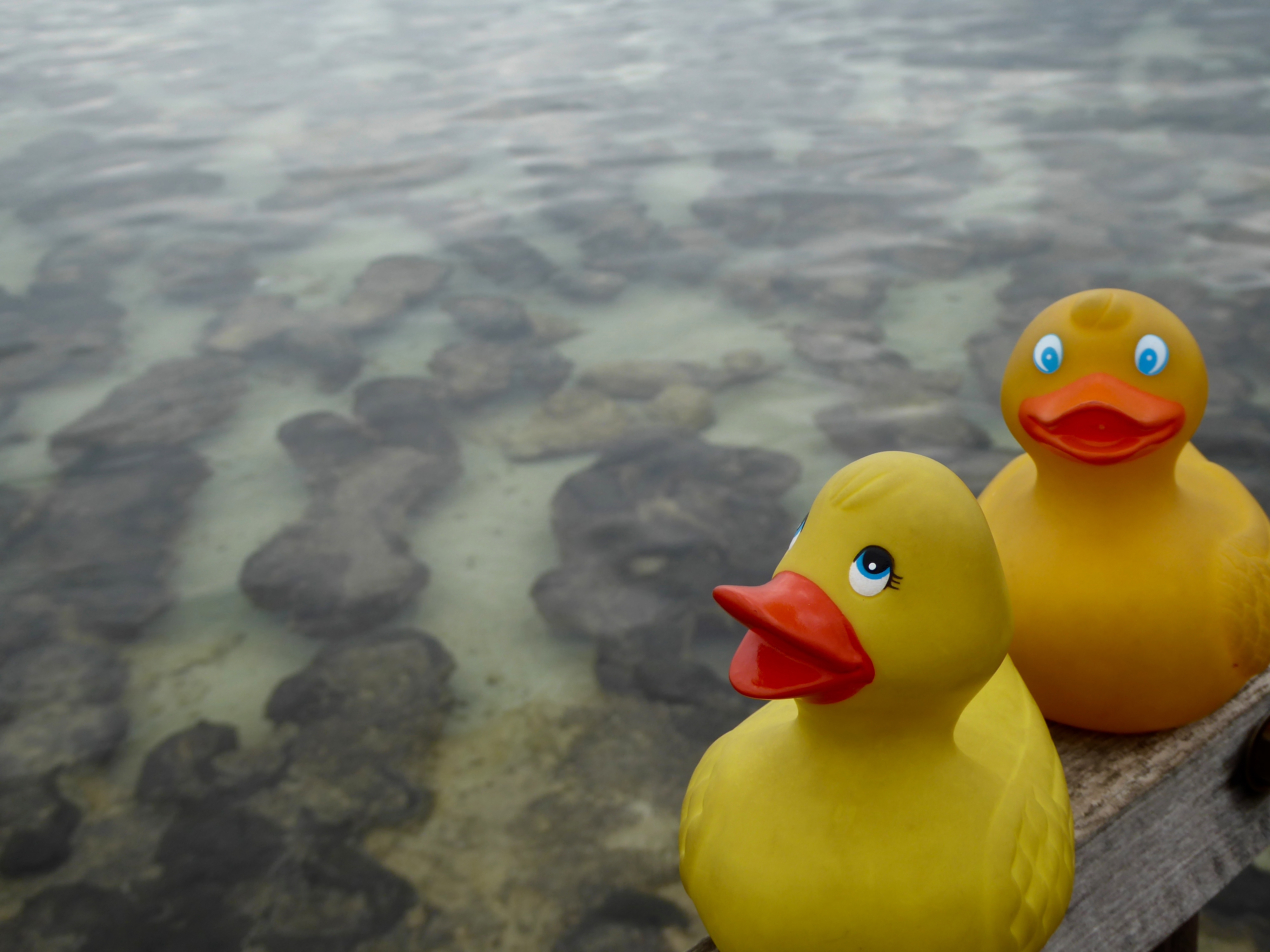
Zeb, Eider and the humans arrived in Broome, Western Australia. After getting a place to sleep, we headed to Cable Beach.
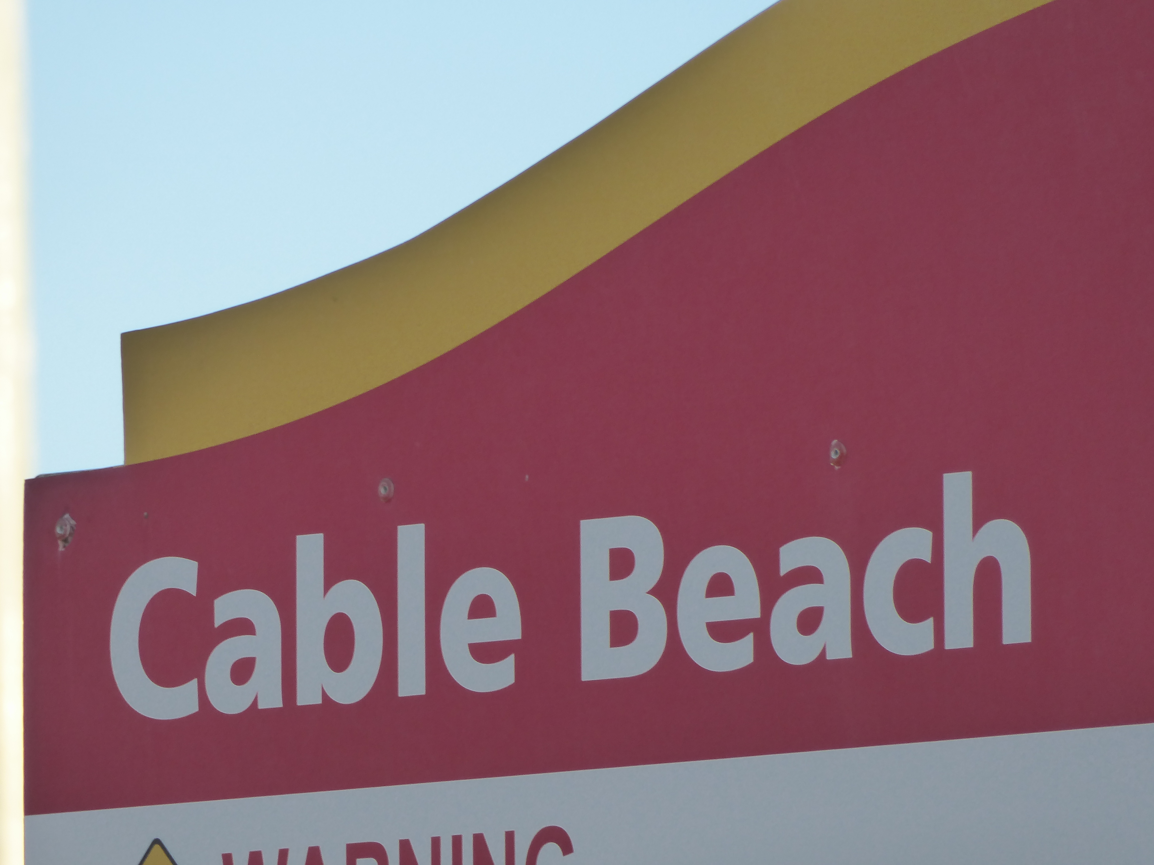
We are at Cable Beach in Broome, Western Australia
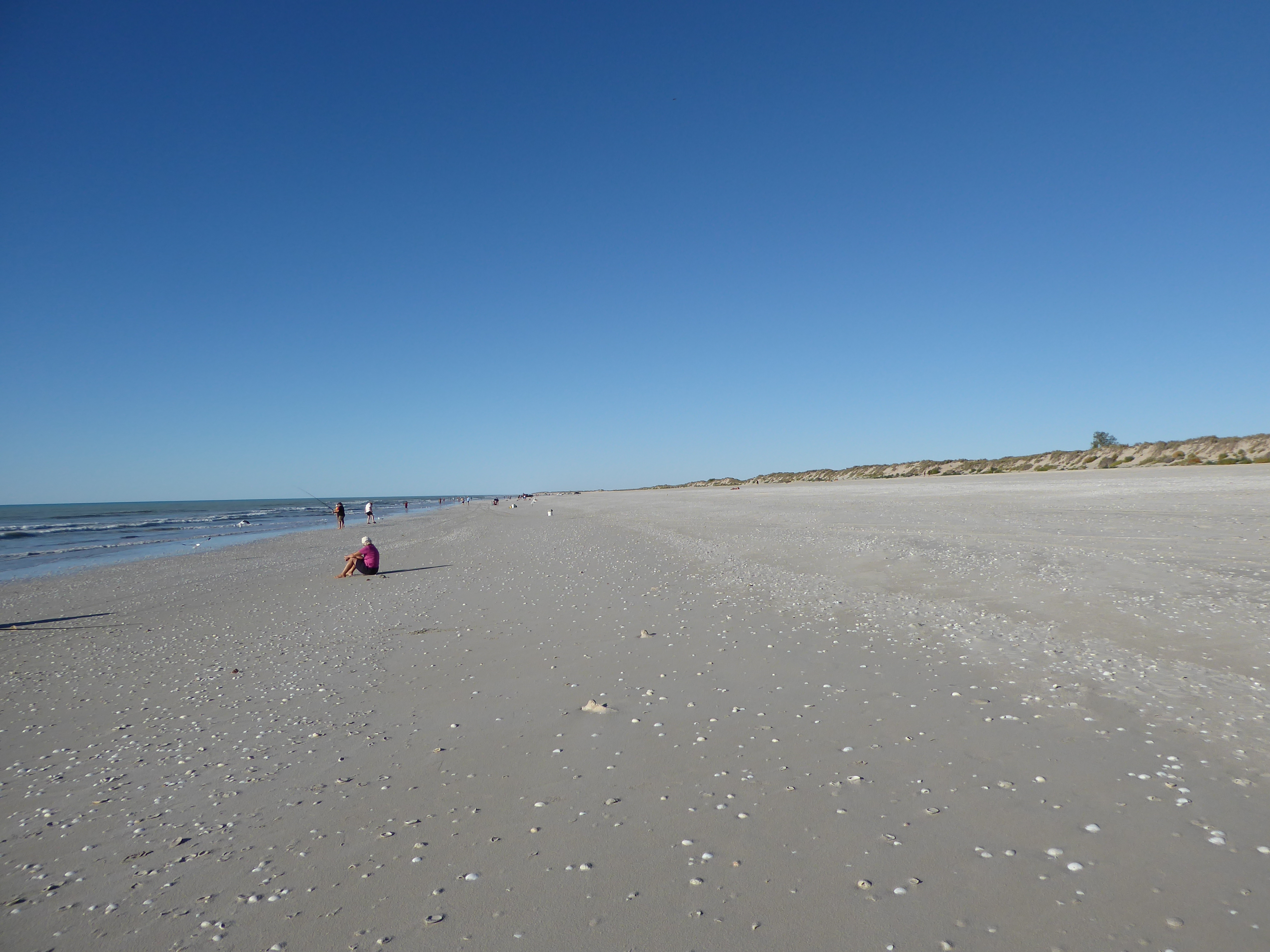
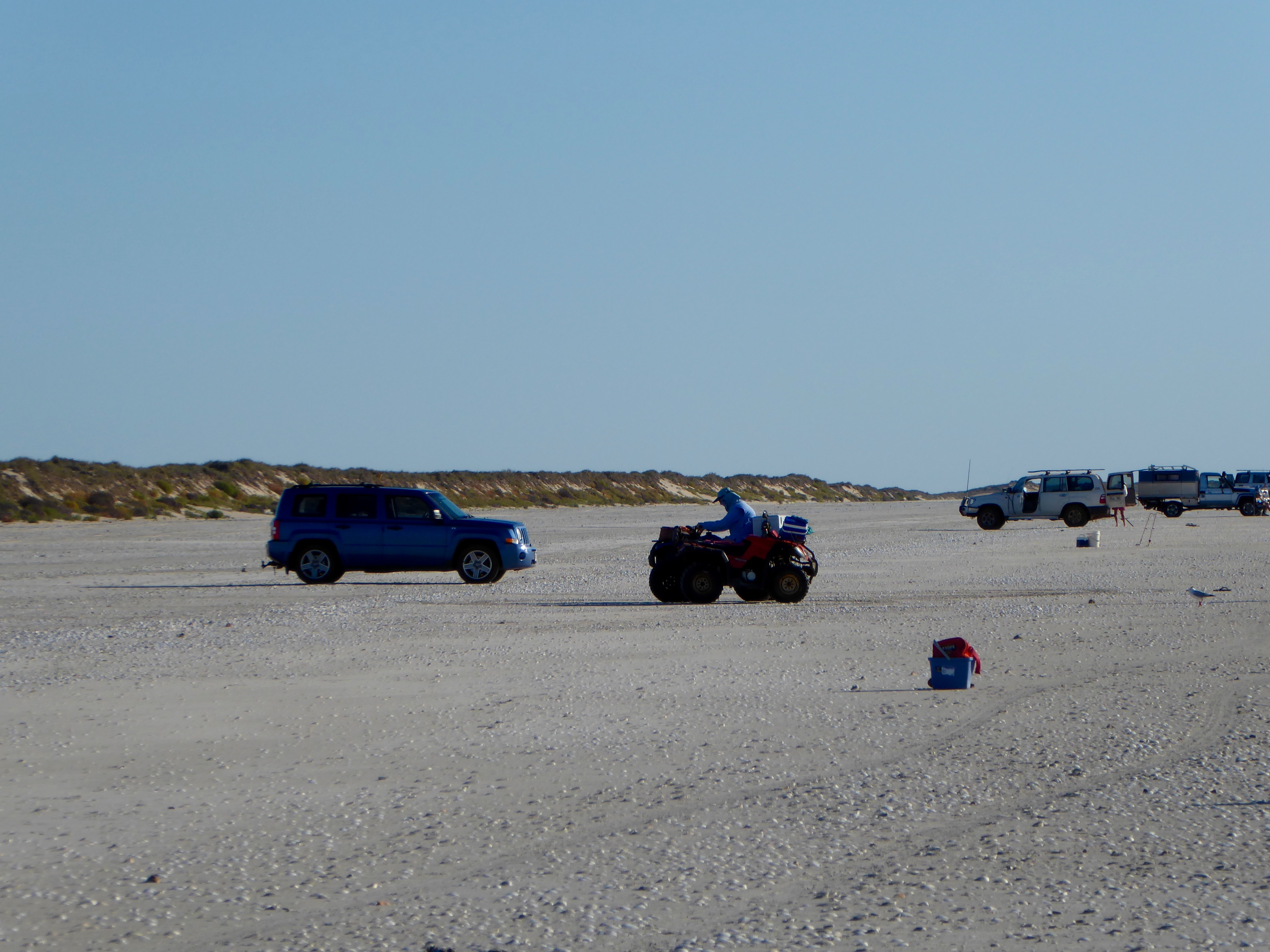
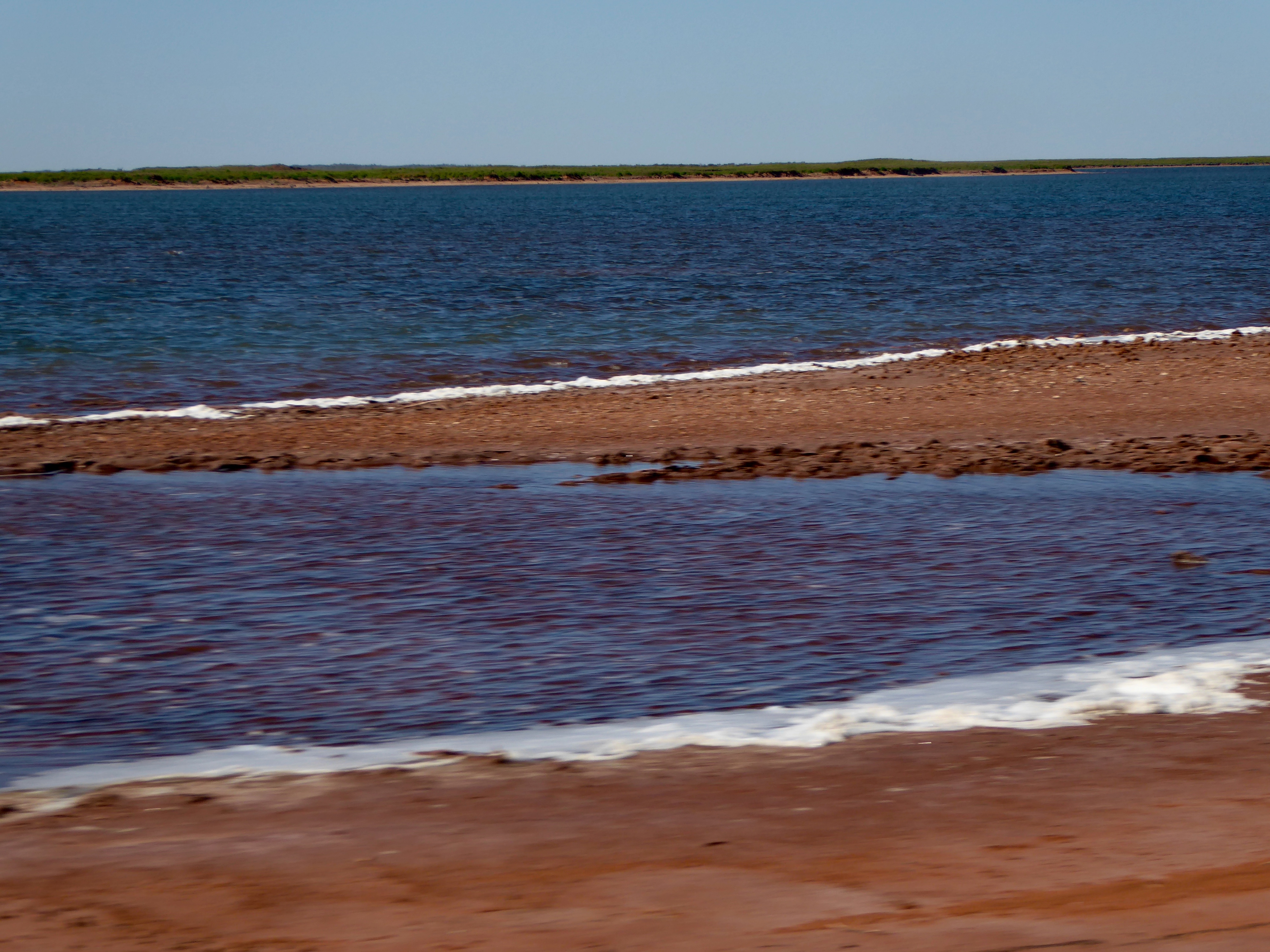
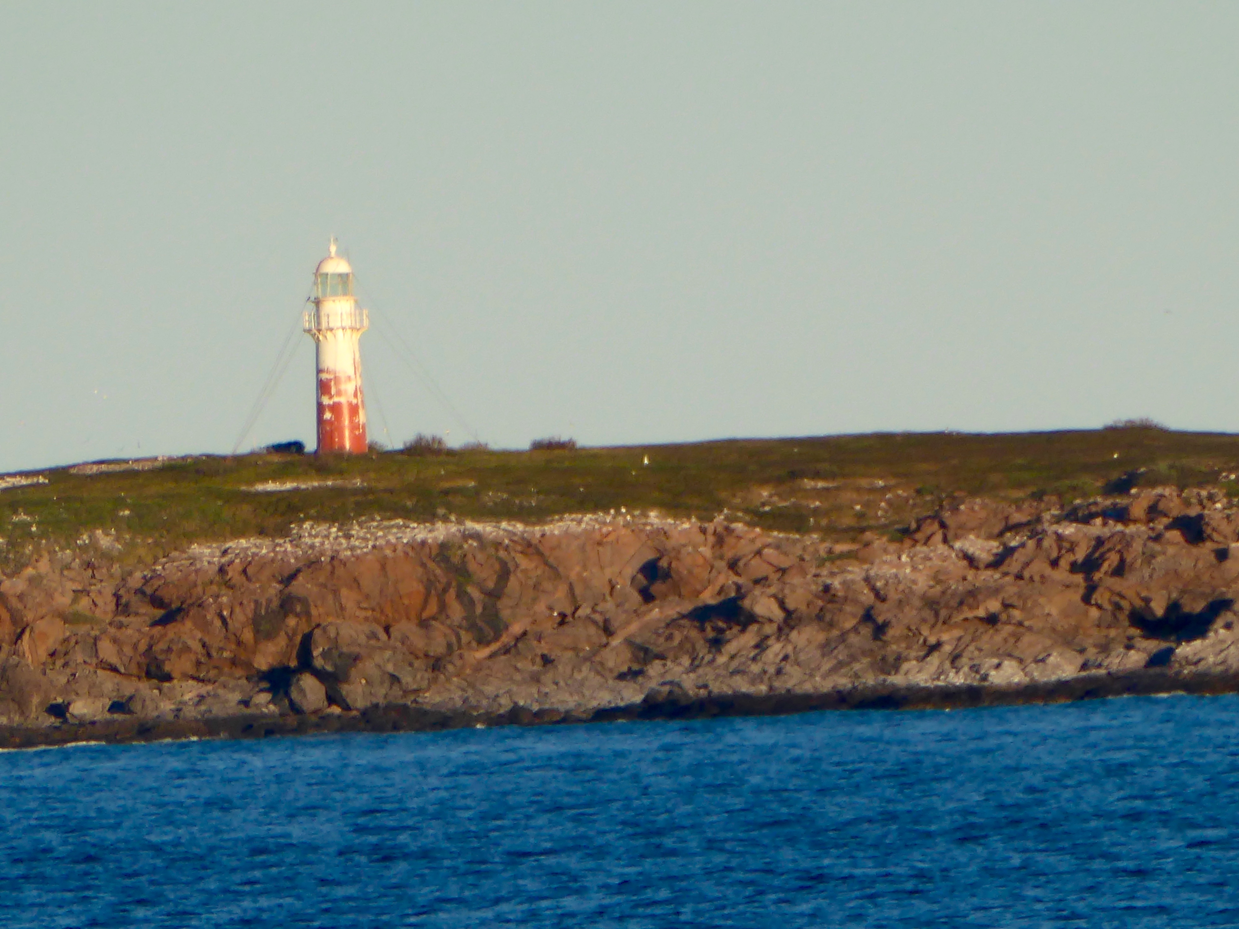
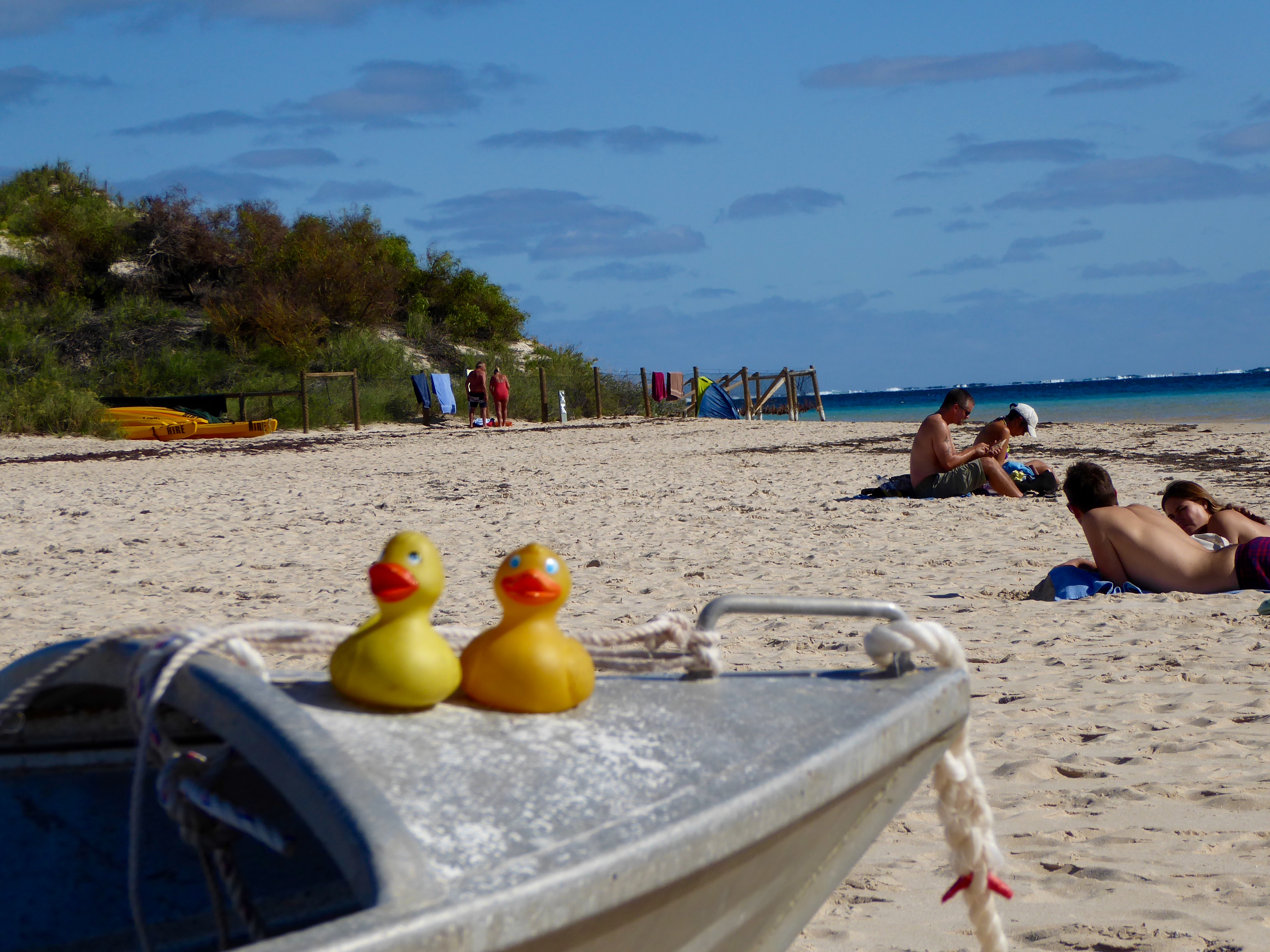
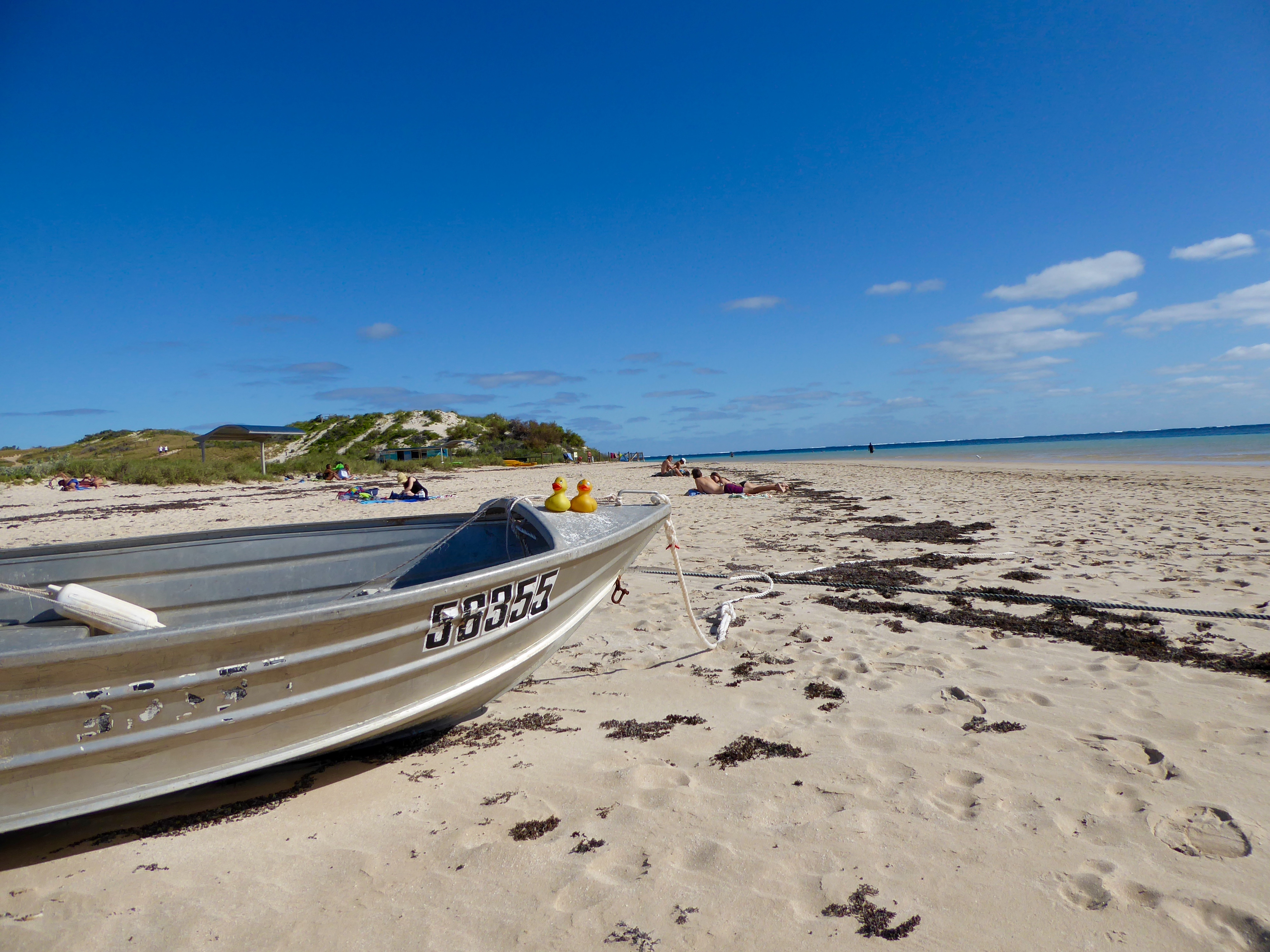
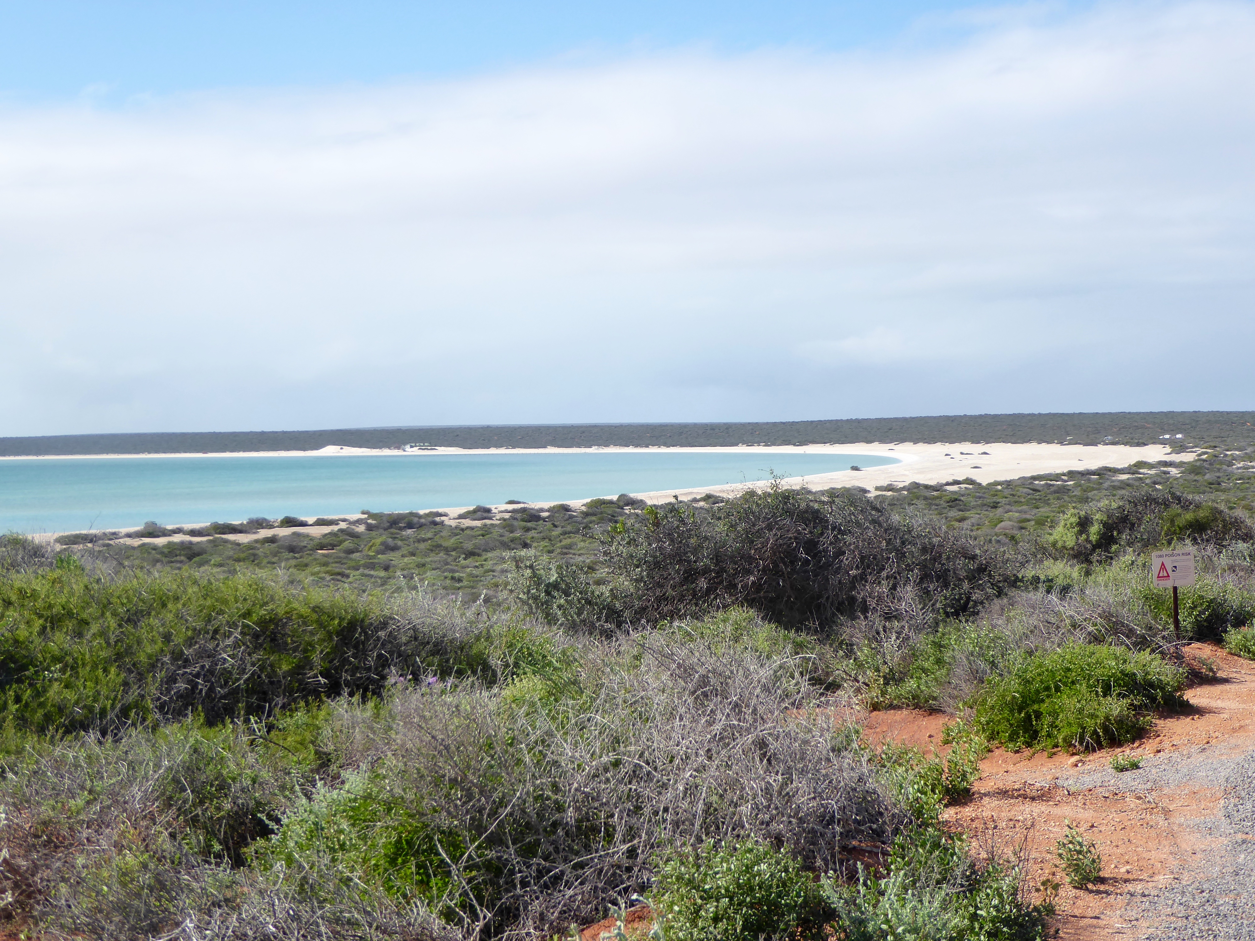
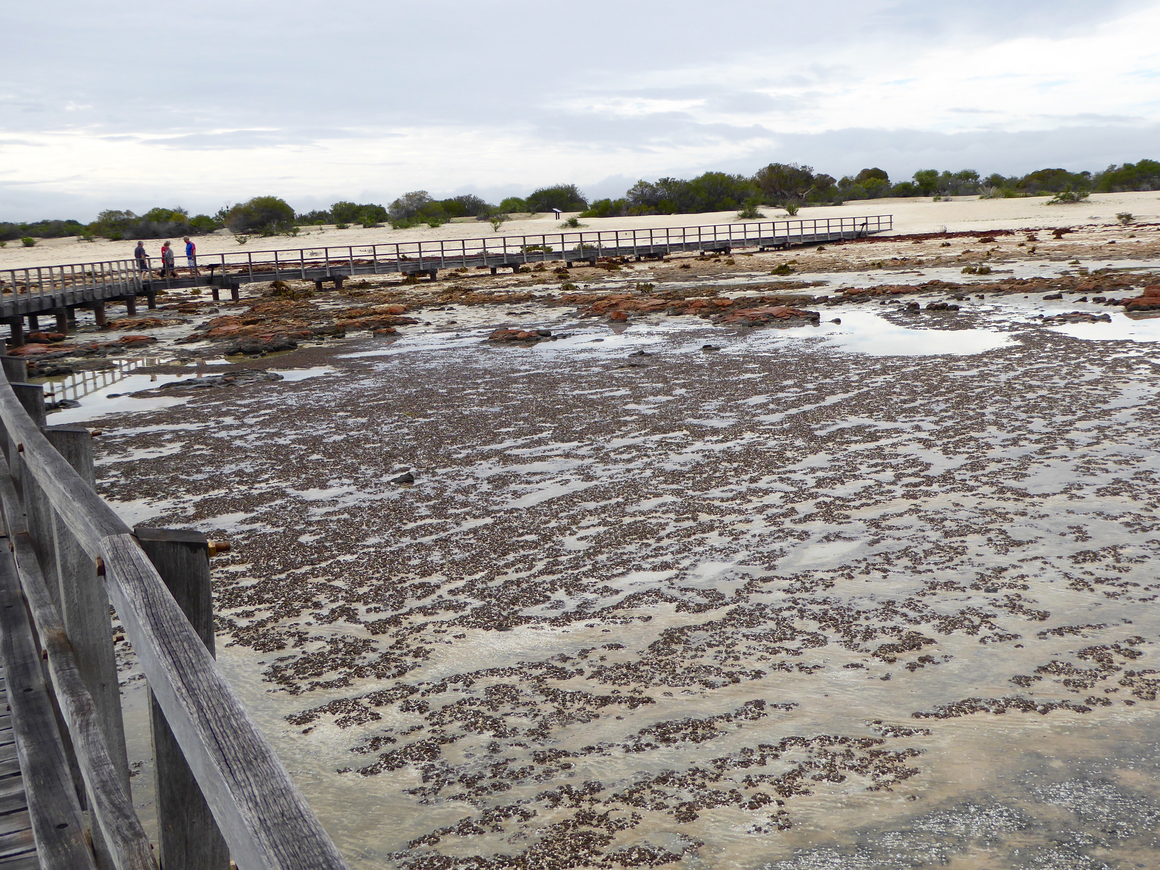
Broome is on the Indian Ocean and well known for beautiful sunsets. We did not want to miss it. Cable Beach is a very wide beach.
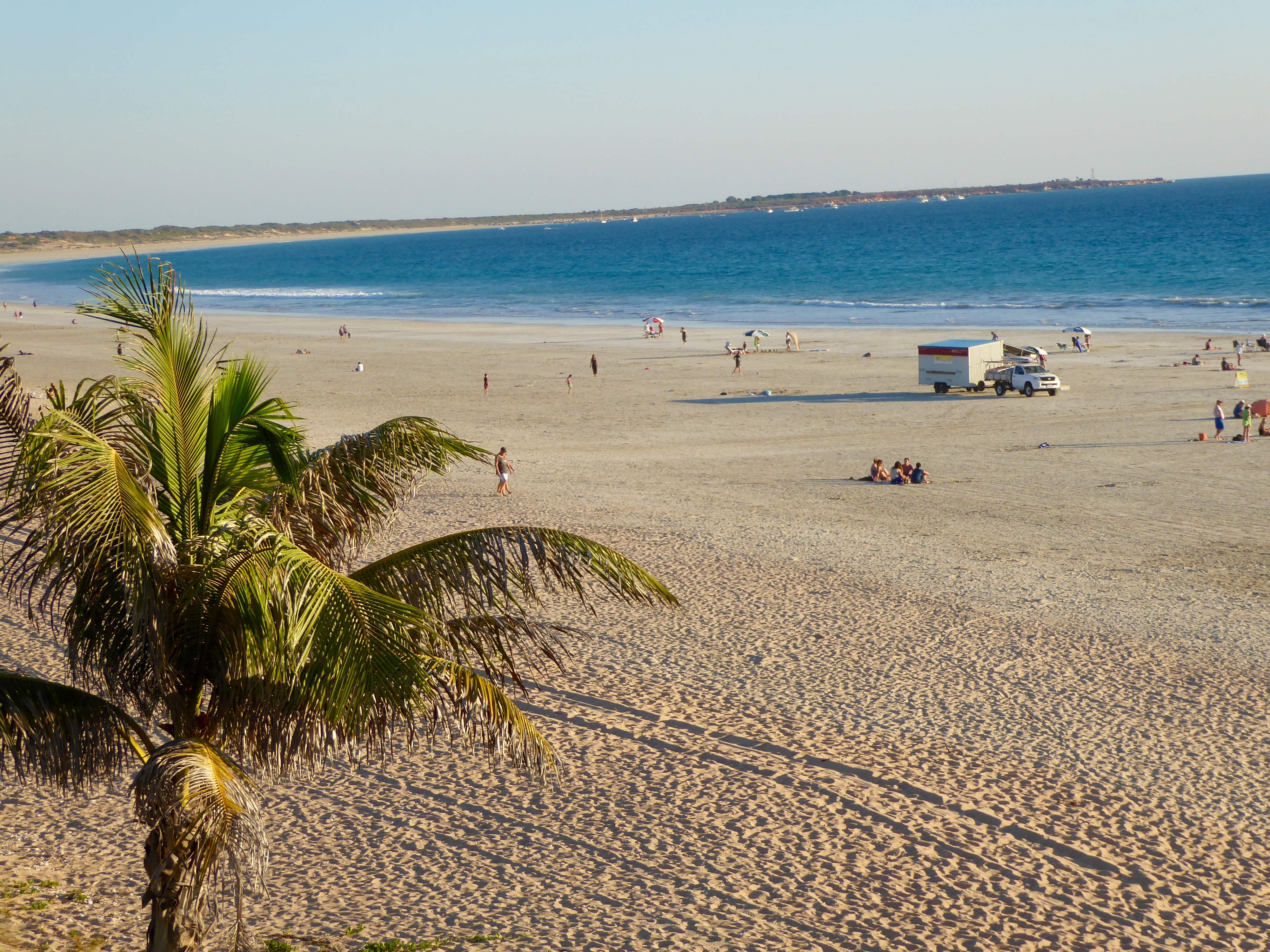
Wide beach and you can drive here
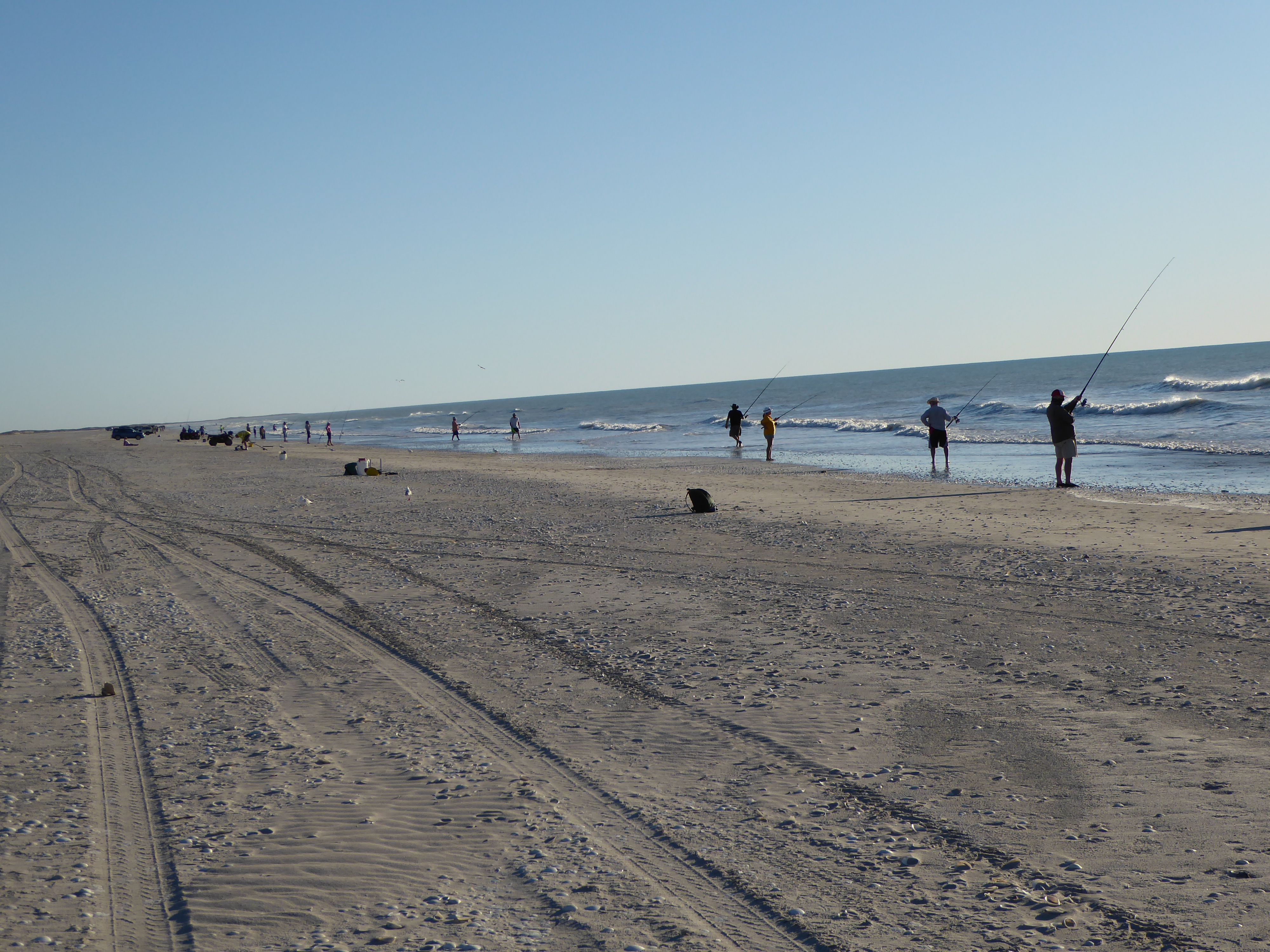
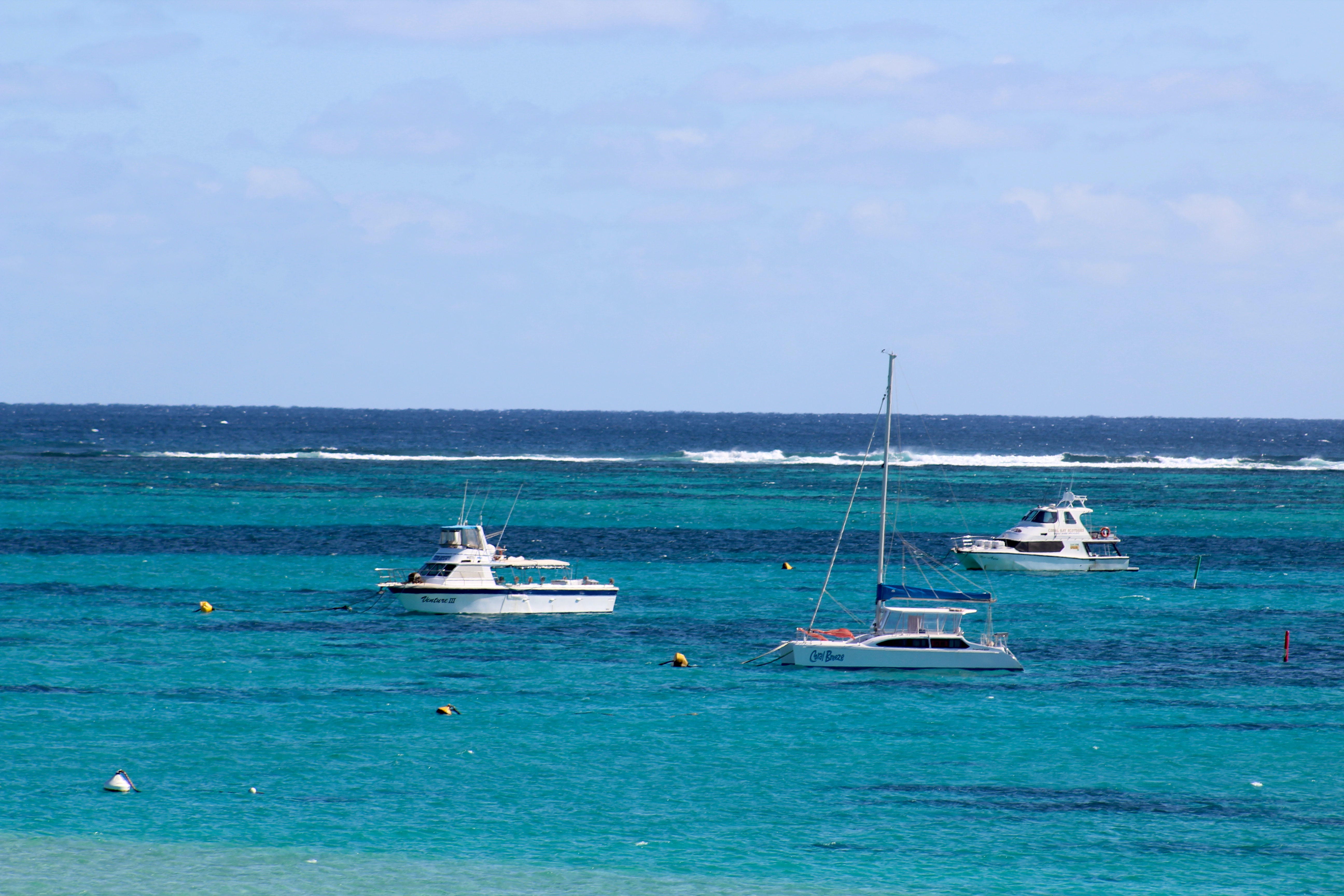
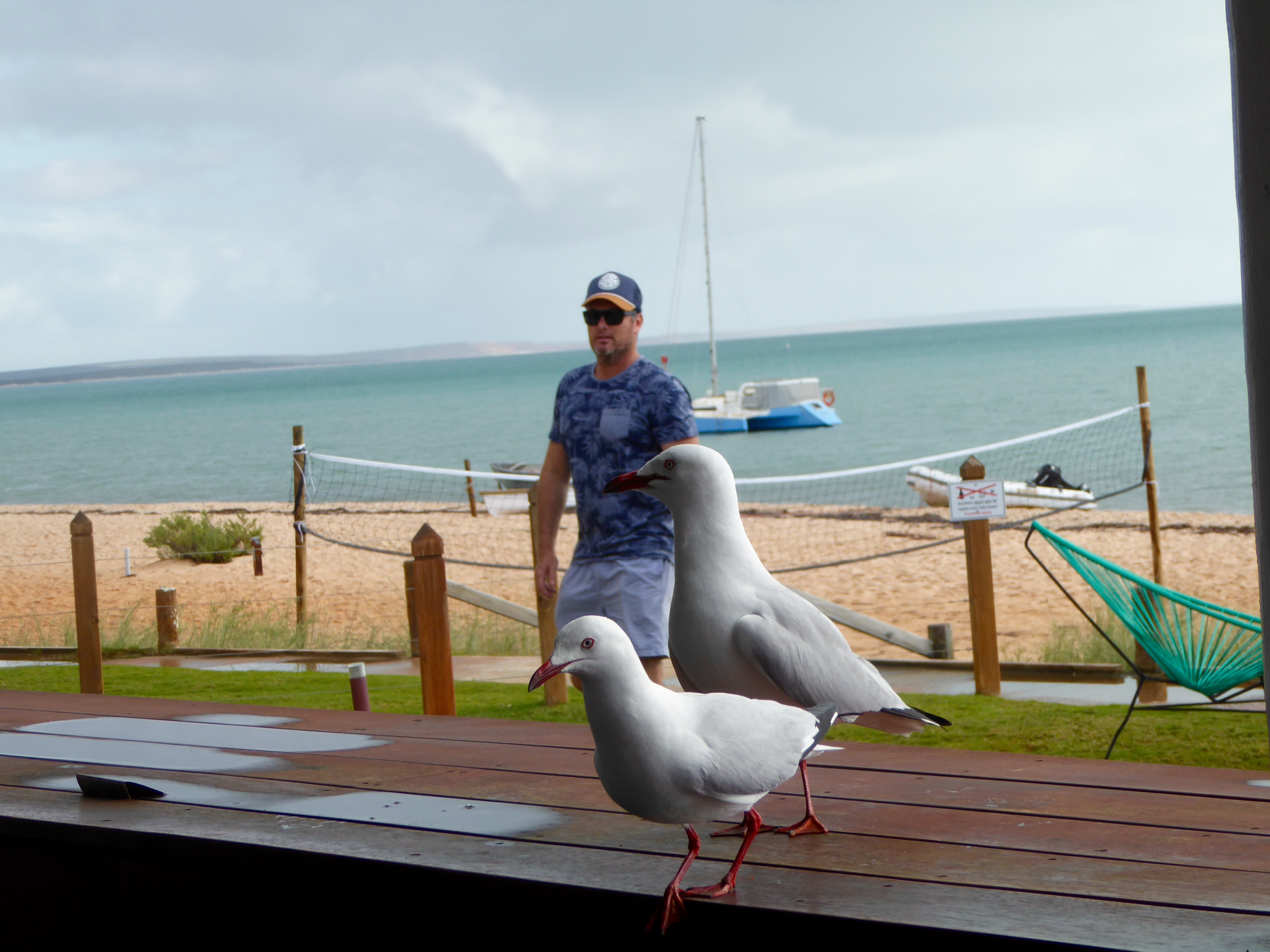
Cable Beach pleases swimmers, sunbathers, and even sailboats.
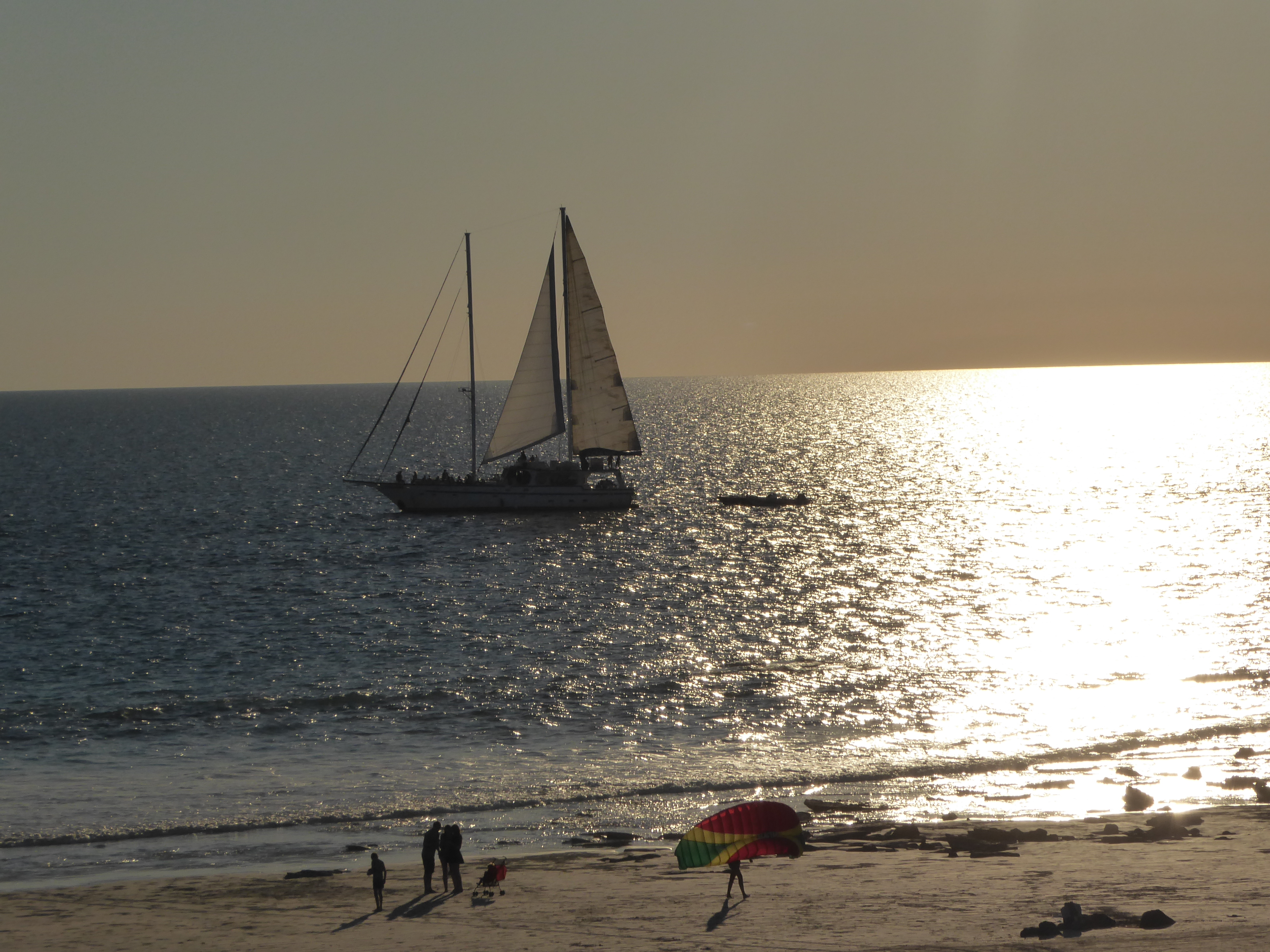
Sailboat and people on beach.
Zander’s is the main restaurant on the beach.
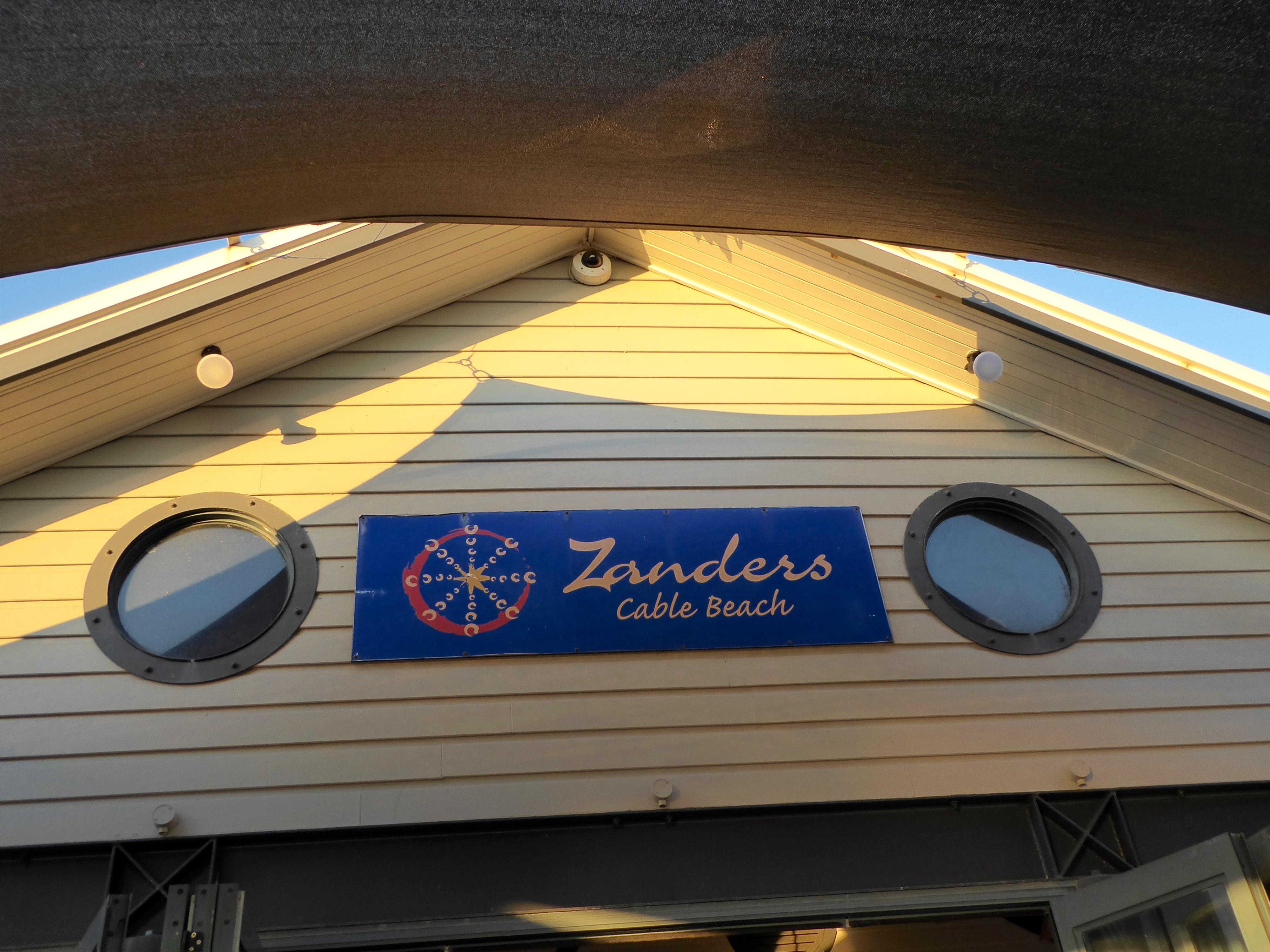
Zander’s on Cable Beach
As you can see, this is a popular gathering place to watch the sunset.
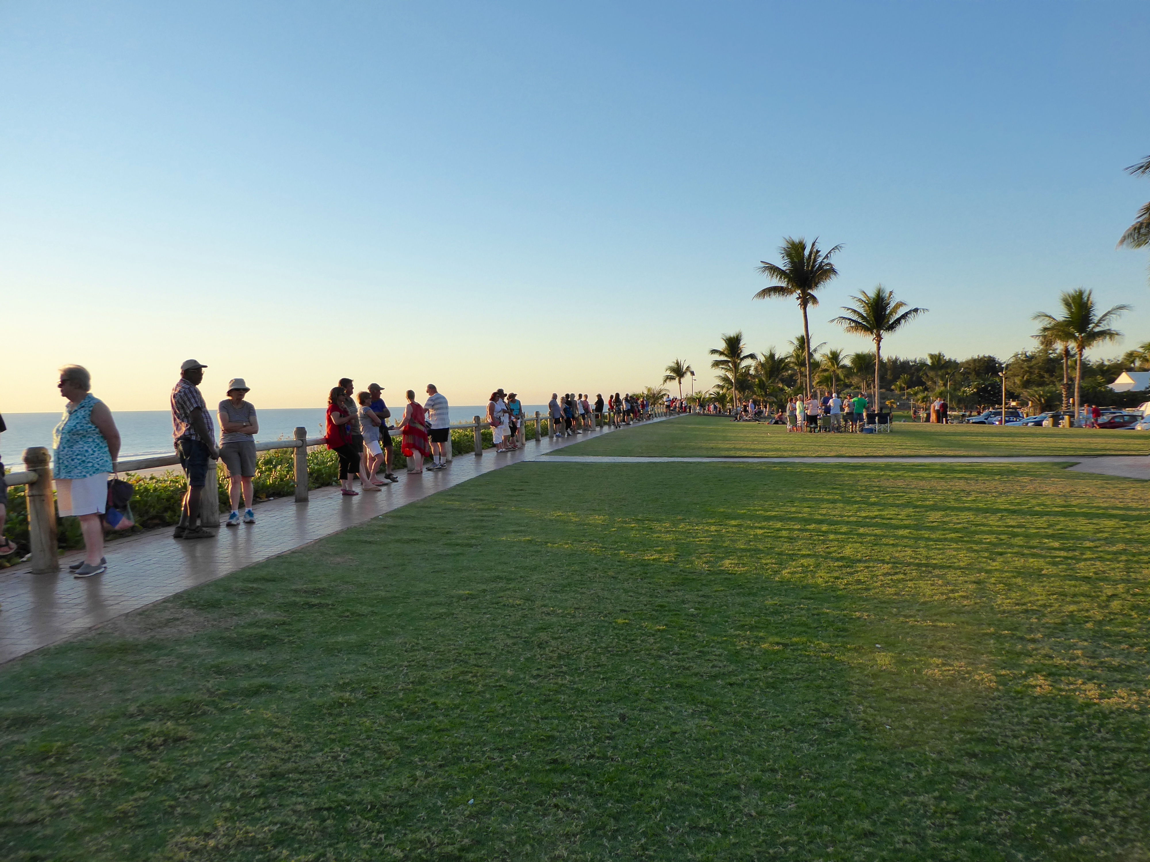
This is the place to be for sunsets in Broome
At Zander’s you can eat in the main restaurant and watch the sunset. Of course, you will pay for this option. We sat in the restaurant, since we wanted the full experience. Hamburgers cost about $20 US, but the location was well worth it to us.
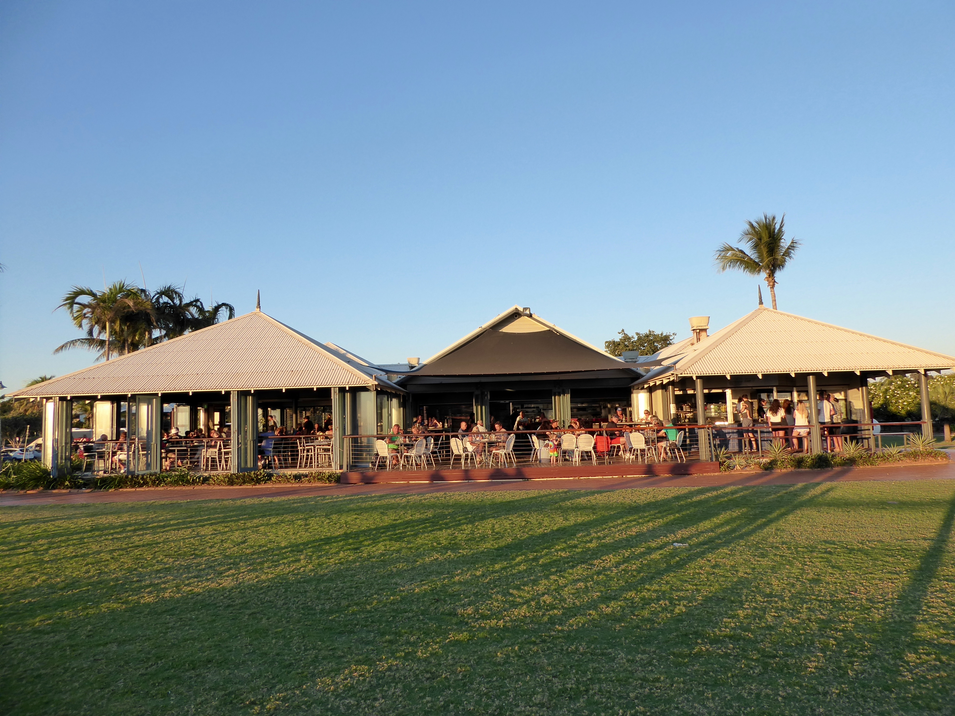
Zander’s restaurant. Eat inside or get take away
The part on the far right, is for ordering take away food from Zander’s, at a lower price. You can eat your food while sitting on a few benches outside. Everyone is ready to watch the sunset.
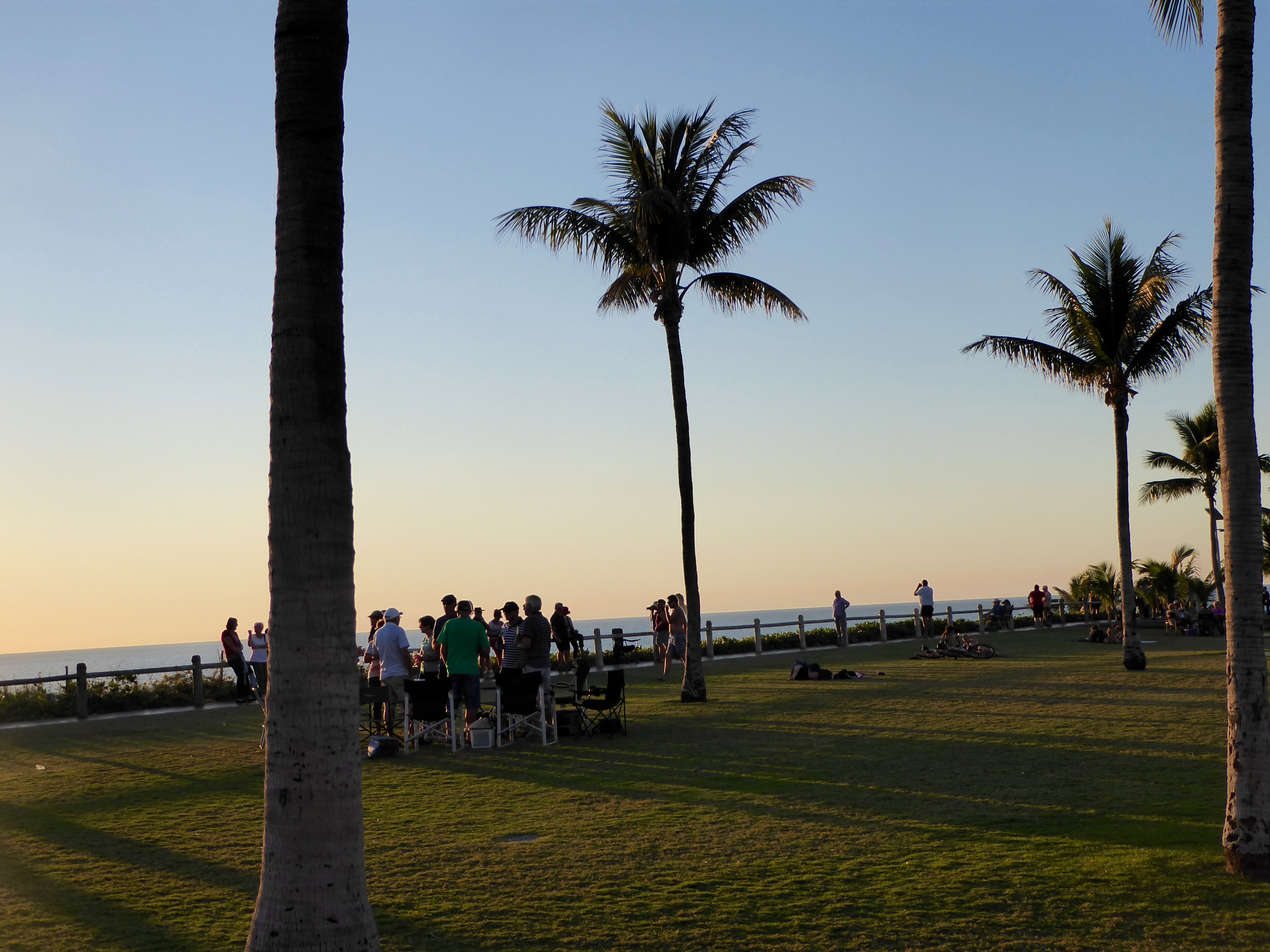
Anticipating the sunset
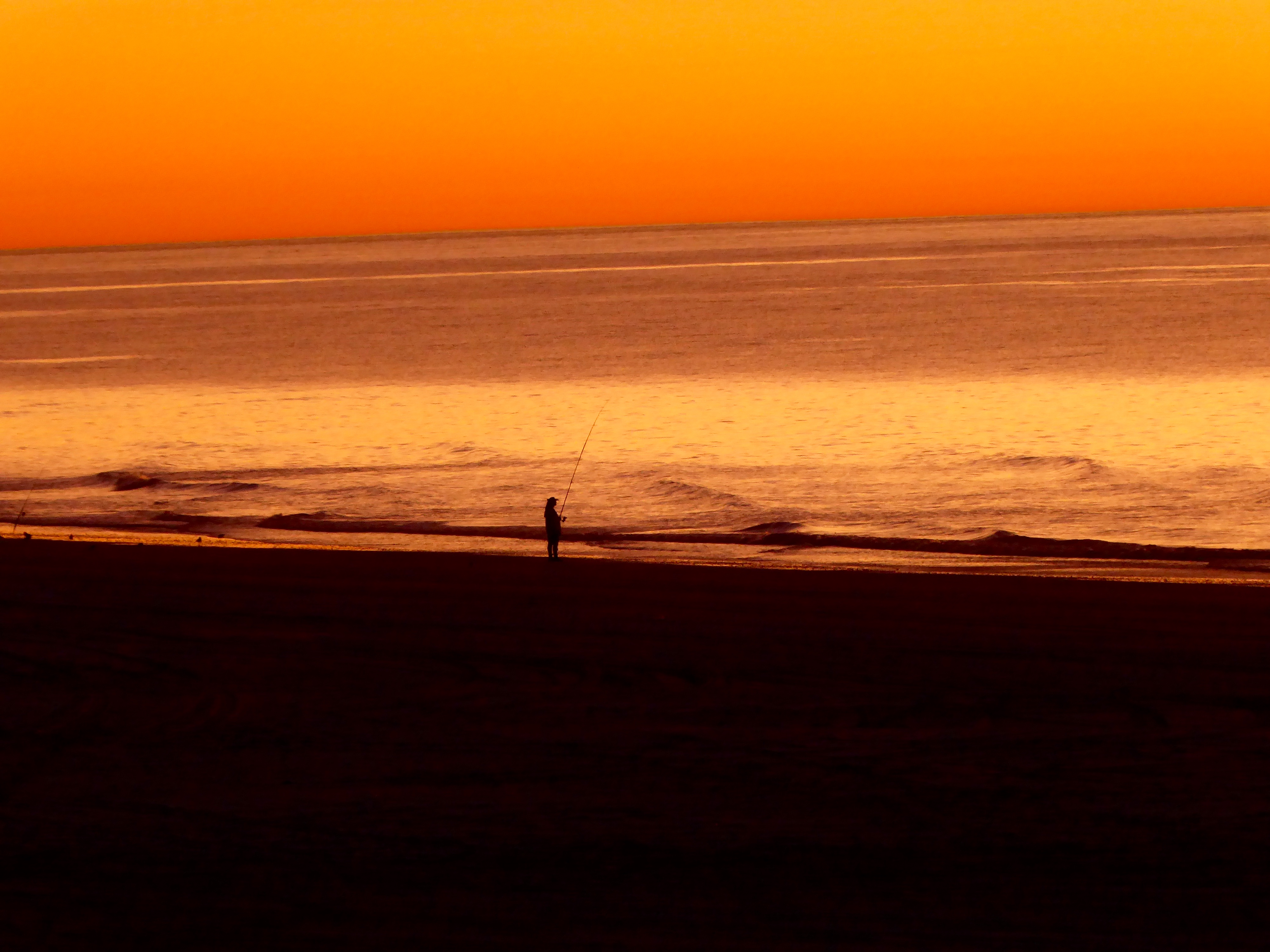
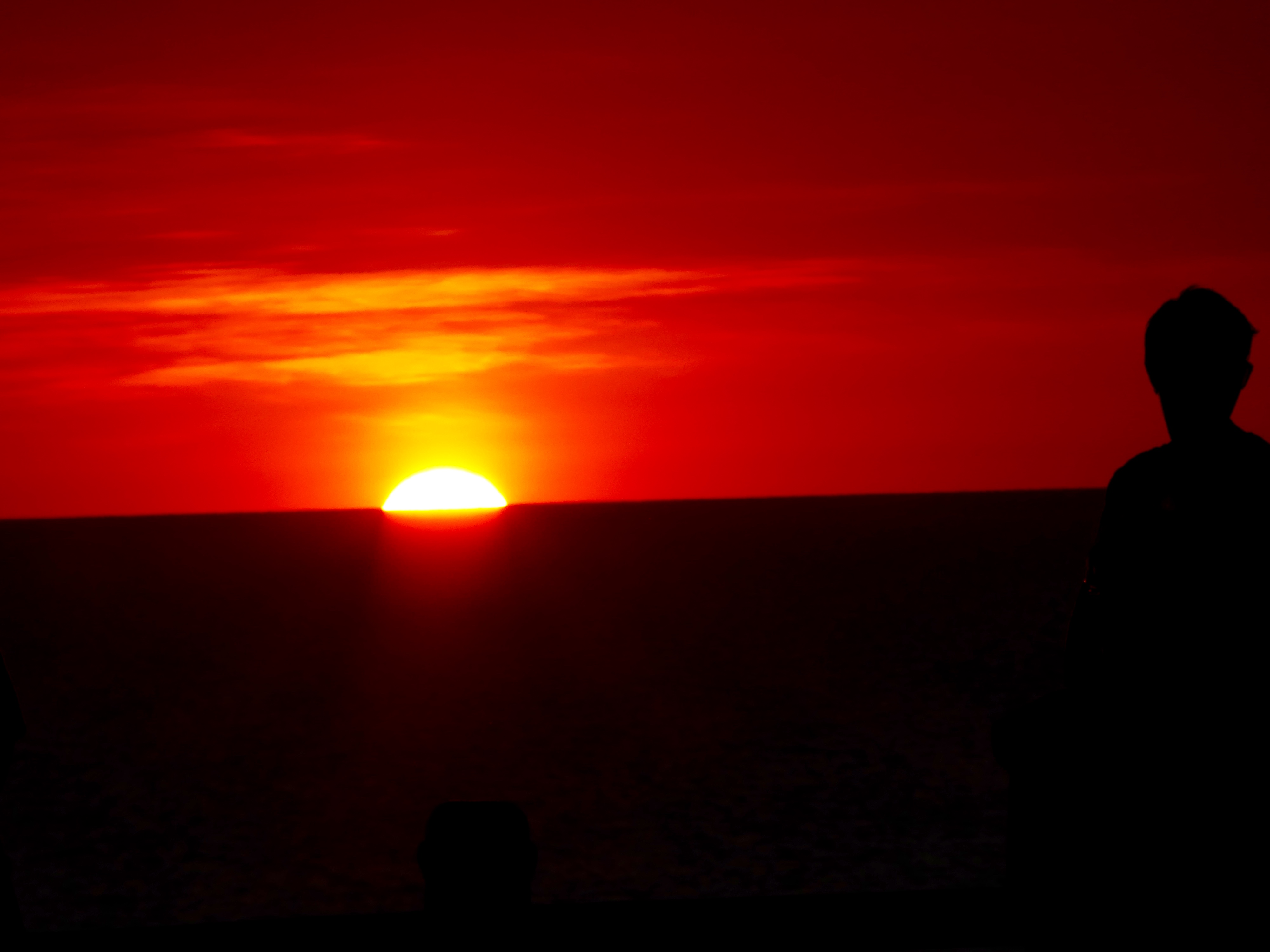
The sun is now setting.
Sun beginning to set in Indian Ocean
From the time the setting sun touches the water until it is completely gone is only 90 seconds.
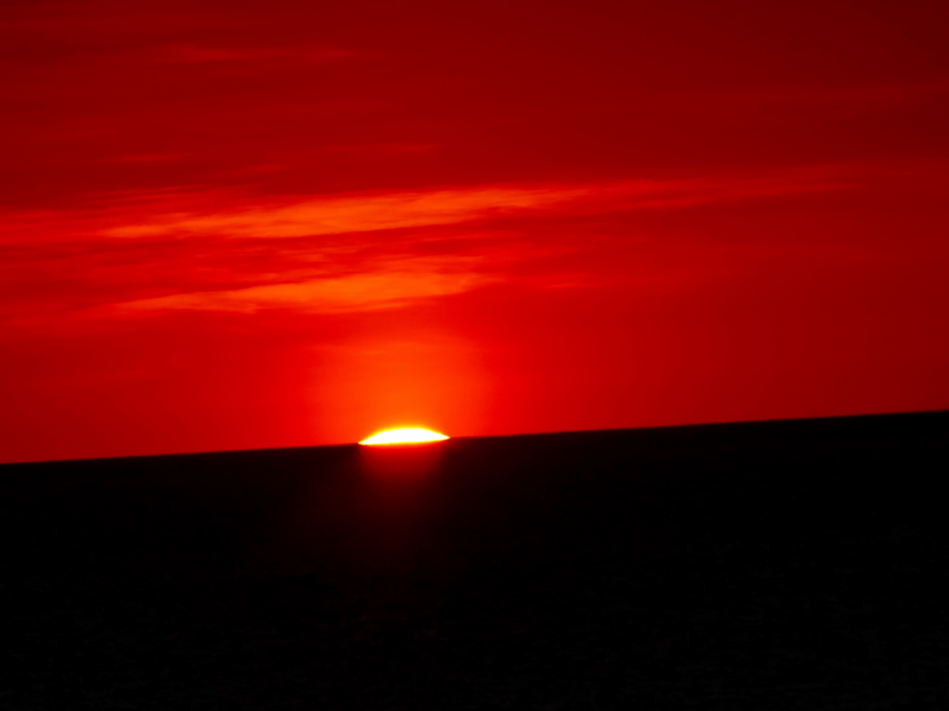
Almost gone
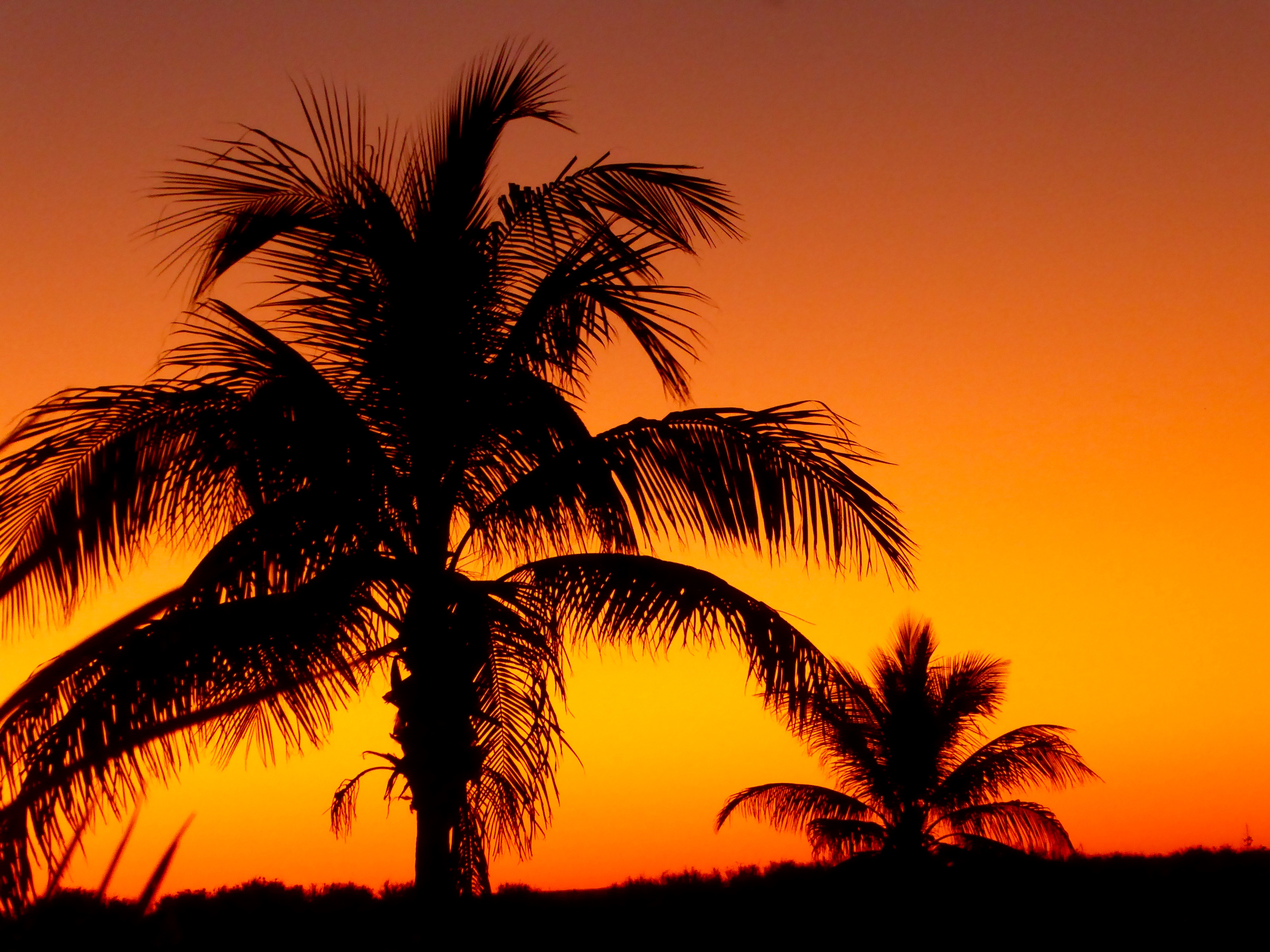
Now, even with the sun gone, this is still a beautiful place and the weather was perfect, so many people still linger here. It is difficult to leave.
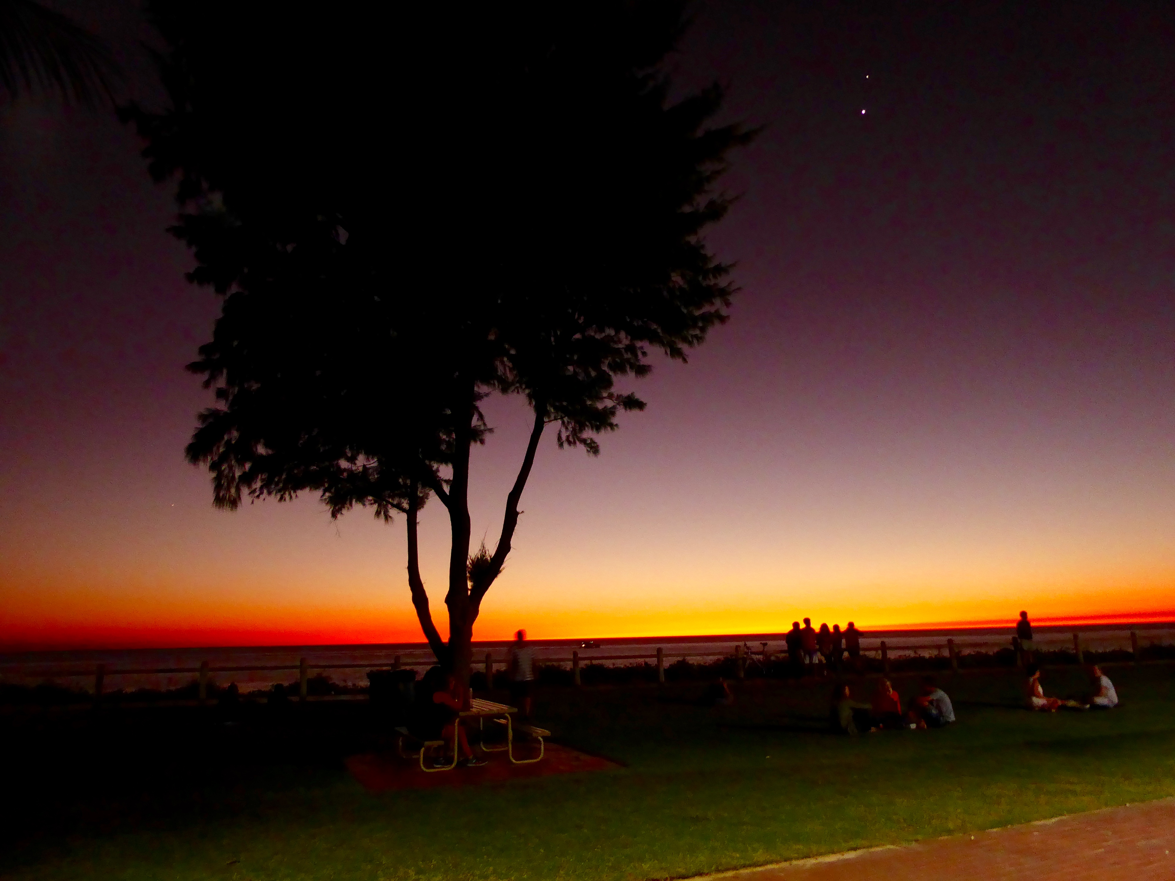
Still warm and beautiful
We are so happy that we ate at Zander’s and we able to see the famous and beautiful Cable Beach sunset. We hope you will visit here soon. It is wonderful.